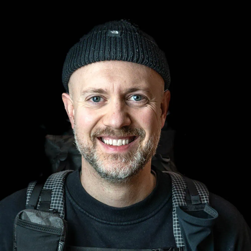
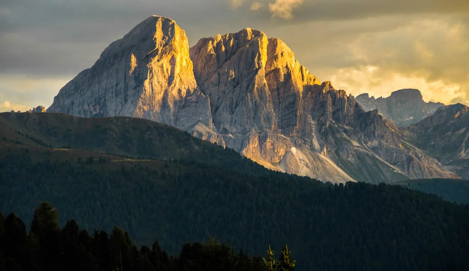
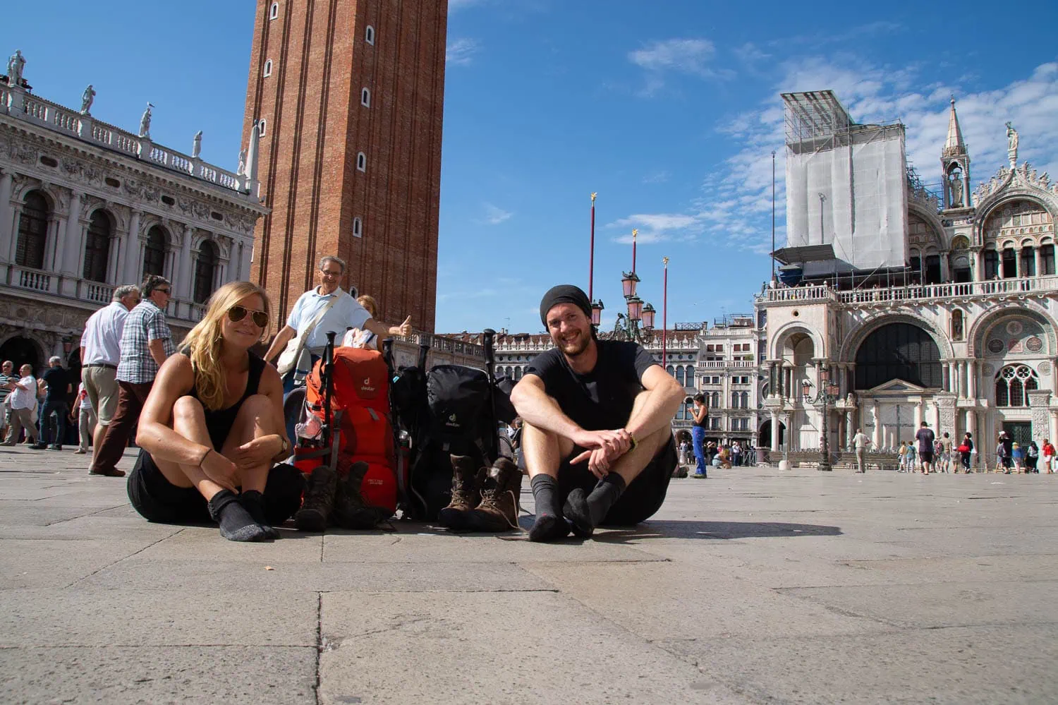
That was my 2014 tour, walked over all 29 stages, from Marienplatz to St Mark's Square, without skipping a single stage. The Munich-Venice dream route is one of the best-known and most beautiful trans-Alpine crossings in a north-south direction, and at the same time one that is regularly underestimated. 550 kilometres, 22,000 metres of ascent, 25,000 in descent, 28 to 30 days of walking.[1] Six mountain regions, three linguistic areas, one single continuous footpath from the Bavarian Alpine foothills to the Adriatic.
This guide breaks down the Dream Path into what you actually need for planning: Fact sheets, all 29 stages with walking times and metres gained, the six technical key sections, an honest seasonal assessment, huts and reservation logic, costs, hiking guides and maps, plus a section at the end for anyone planning with an ultra-light setup. For the overarching context (which Alpine crossing route is right for me: E5, Dream Path, Alpe Adria Trail, Salzburg-Trieste, etc. ) we have a detailed article on the 10 best Alpine crossings on foot Written.
Munich-Venice Dream Path at a Glance
| Key data | Value | Details |
|---|---|---|
| Route | ~550 km | 554 km on the standard route to Graßler |
| Metres of ascent | ~22,000 m ascent | |
| Metres of descent | ~25,000 m ascent | Venice is at sea level |
| Stages | 29 | Standard classification according to Graßler, also possible in 28 or 30 |
| Realistic duration | 28 days | pure hiking days; with buffer days 30 to 34 |
| Highest point | ~2,900 m | in the Sella Massif, optionally Piz Boé at 3,152 m |
| Most important transition | 2.246 m | Pfitscher Joch, border crossing from Austria to Italy |
| Begin | Munich | Marienplatz |
| End | Venice | St Mark's Square |
| Marking | inconsistent | no continuous long-distance hiking trail marking, locally via DAV, AVS and CAI signposts |
| Difficulty | One-bedroom flat to two-bedroom flat | SAC scale, with wire-rope passages and an optional via ferrata |
| Best time to travel | July to mid-Sept. | |
| Overnight stay | Cabins | DAV/AVS/CAI huts, also guesthouses and inns in the valley |
| Daily costs | €50 to €60 | total 1,500 to 2,500 € including travel to and from the destination |
What the Munich-Venice Dream Path is
The "Traumpfad" (Dream Path) is not an official long-distance hiking trail. Instead, it's a route that Munich mountaineer Ludwig Graßler first traversed in its entirety in 1974 and documented in 1977 in the Süddeutscher Verlag. There are no continuous markings, no unified logo, and no sponsoring association. What does exist is a skillfully composed route that leads across the Alps from the Bavarian foothills to the Adriatic Sea, and which has changed only slightly since its first ascent.
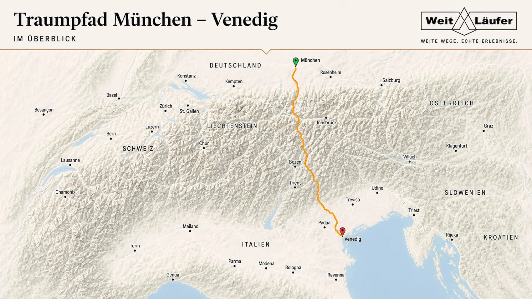
The route leads from Marienplatz in Munich through the Bavarian Prealps, via Wolfratshausen and Bad Tölz, into the Karwendel, then over the main Alpine ridge in the Tux and Zillertal Alps, across the Pfitsch pass into Italy, through the Pfunders valley and the Lüsen Alm into the Dolomites, via the Puez group and the Sella to the southern Dolomites, and ends after Belluno with two days of the Prealps and the Piave lowlands at St. Mark's Square in Venice.
The route is only marked locally: each stage follows the regional network of paths from the DAV (Bavaria, Austria), AVS (South Tyrol), and CAI (Italy). Without current GPX data, a hiking guide, and some route knowledge, the "Traumpfad" (dream path) cannot be completed. You are not following a signposted tour, but a devised route that you must navigate yourself.
The 29 stages at a glance
The classic Graßler route divides the tour into 29 stages, which can be summarised into six mountain regions. Distances and walking times are guidelines from the DAV Route Archive and the Rother hiking guide, in practice they vary depending on weather, fitness and route diversions.
Bavarian Alps (Stages 1 to 4)
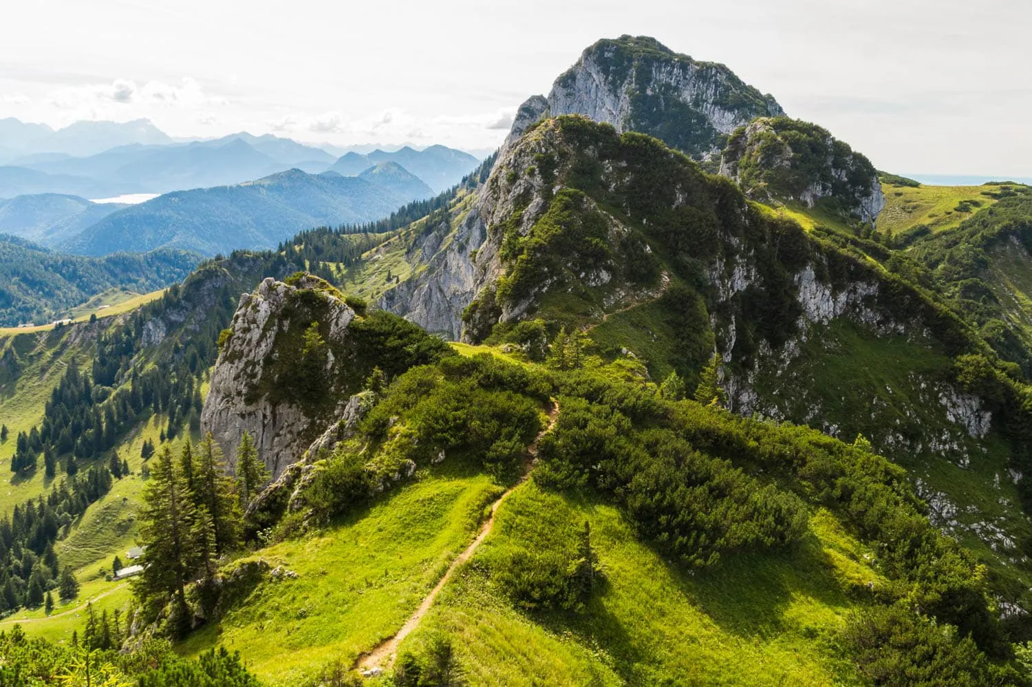
Four days of acclimatisation in the foothills of the Alps, mostly along the Isar. Little high-alpine challenge, but long flat stretches that are good for lowland walkers to get into their stride.
| Stage | Route | Distance / Hm | Walking time |
|---|---|---|---|
| 1 | Munich (Marienplatz) → Wolfratshausen | 33 km / 140 m | 8 hours |
| 2 | Wolfratshausen → Bad Tölz | 27 km / 240 m | 7 am |
| 3 | Bad Tölz → Tutzinger Hütte (via Achselköpfe) | 22 km / 1,250 m | 7.5 hours |
| 4 | Tutzinger Hütte to Vorderriß (via Benediktenwand) | 18 km / 710 m | 7 am |
Karwendel (Stages 5 to 7)

Three intensive days through the main Karwendel ridge. Stage 6 with the descent from the Schlauchkarsattel at the Birkkarspitze is one of the technically most difficult sections of the entire tour. Anyone who handles this with confidence will also master the later key sections.
| Stage | Route | Distance / Hm | Walking time |
|---|---|---|---|
| 5 | Vorderriß → Karwendelhaus | 25 km / 1050 hm | 7 am |
| 6 | Karwendelhaus to Hallerangerhaus (via Schlauchkarsattel) | 16 km / 1,550 m | 8.5 hours |
| 7 | Glungezerhütte | 17 km / 960 m | 7 am |
Central Alps, Tux and Zillertal (Stages 8 to 12)
Five days through the Tux Prealps and Zillertal Alps with the main Alpine ridge as the centre. The Pfitscher Joch pass at 2,246 m marks the border into Italy and usually the halfway point of the tour. Before that lies the Friesenbergscharte with a long, exposed descent using wire rope safety measures.

| Stage | Route | Distance / Hm | Walking time |
|---|---|---|---|
| 8 | Glungezerhütte → Lizumer Hütte | 15 km / 750 m ascent | 8.5 hours |
| 9 | Lizumer Hütte → Tuxer-Joch-Haus | 12 km / 1.18 km | 6.5 hours |
| 10 | Tuxer-Joch-Haus → Olpererhütte (via Friesenbergscharte) | 12 km / 930 m | 6.5 hours |
| 11 | Olpererhütte → Stein (via Pfitscher Joch 2,246 m) | 13 km / 460 m | 5.5 hours |
| 12 | Pounds | 20 km / 1,200 m | 8 hours |
Northern Dolomites (Stages 13 to 18)
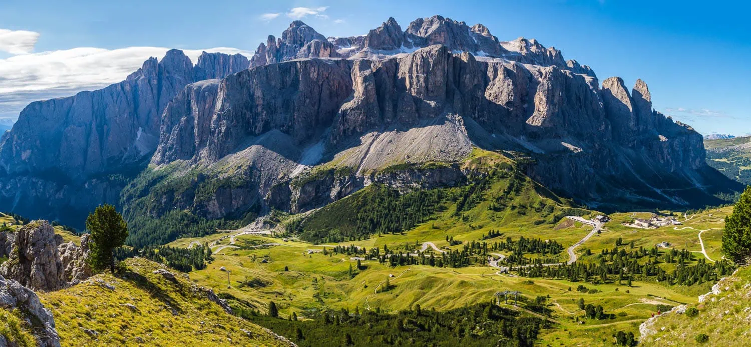
Six days through the Pfunderer valley, the Lüsner Alm and the Puez group into the Sella group. The scenic twist of the tour: away from alpine granite and slate, into the bizarre rock towers of the Dolomites. The highest point of the standard route is in the Sella massif at around 2,900 m, with an optional ascent.
| Stage | Route | Distance / Hm | Walking time |
|---|---|---|---|
| 13 | Pfunders → Kreuzwiesen Alm | 21 km / 1,300 m ascent | 6.5 hours |
| 14 | Kreuzwiesen Alm → Schlüter Hut | 22 km / 1,370 m | 8.5 hours |
| 15 | Schlüterhütte → Puezhütte | 11 km / 740 m | 5 hours |
| 16 | Puezhütte → Pisciaduhütte or Rifugio Boé | 13 km / 1,270 hm | 6.75 hours |
| 17 | Rifugio Boé → Rifugio Viel dal Pan (Bindelweg) | 9 km / 400 m | 4 hours |
| 18 | Viel dal Pan → Alleghe | 24 km / 230 hm | 5.75 hours |
South Tyrol (Stages 19 to 23)
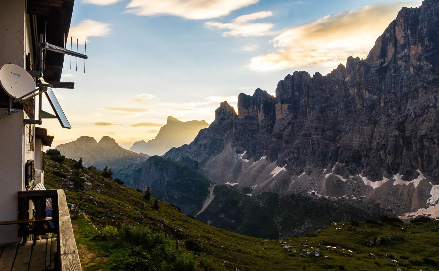
Five days along Civetta, Moiazza and Schiara, the wildest rock faces of the tour. Stage 22 contains the Schiara via ferrata (KS-3C), which can be completely bypassed, as many hikers do. Those who wish to avoid the via ferrata will descend from Rifugio Pian de Fontana via Rifugio Furio Bianchet and reach Belluno with an additional hiking day.
| Stage | Route | Distance / Hm | Walking time |
|---|---|---|---|
| 19 | Alleghe → Tissi Hut | 8 km / 680 m | 3.25 hours |
| 20 | Tissi → Bruto Carestiato Hut | 16 km / 740 m | 6 hours |
| 21 | Carestiato → Refuge Pian de Fontana | 19 km / 1,200 m | 8 hours |
| 22 | Pian de Fontana → Rifugio 7° Alpini (Schiara Klettersteig, KS-3C, alternative route via Bianchet possible) | 9 km / 960 m | 7.25 hours |
| 23 | Rifugio 7° Alpini to Belluno | 14 km / 380 m | 4.25 hours |
Piave and the Venetian Plain (Stages 24 to 29)
Six days from the endpoint of the Alps to St Mark's Square. The first two days over the ridge of the Belluno Prealps are still scenically attractive, the last four through the Piave lowlands are often shortened by many hikers: from Ponte della Priula or Tarzo, the train regularly goes to Venice. Those who walk the whole route face six days of tarmac and fields, often in 30-degree heat or more.
| Stage | Route | Distance / Hm | Walking time |
|---|---|---|---|
| 24 | Belluno → Col Visentin Refuge | 17 km / 1,600 m | 5.5 hours |
| 25 | Col Visentin to Tarzo | 22 km / 135 hm | 5.5 hours |
| 26 | Tarzo → Ponte della Priula | 29 km / 600 metres of elevation gain | 6.75 hours |
| 27 | Ponte della Priula to San Bartolomeo | 21 km / 400 hm | 5.3 hours |
| 28 | San Bartolomeo → Jesolo | 36 km / 70 hm | 9 AM |
| 29 | Jesolo → Venice (St Mark's Square) | 23 km | 6 hours |
Before the tour: current GPX data and mountain hut opening times at DAV Dream Path Article or via the official route websites muenchen-venedig.net and muenchenvenedig.de retrieve. Stages 22 (Schiara) and some Dolomite passes occasionally change due to rerouting.
Difficulty and six key points
The dream path is moderately difficult as a complete route, with individual difficult stages. In SAC terms, it lies between T2 and T3 (mountain hiking to demanding mountain hiking). Sure-footedness, a head for heights, and alpine experience are prerequisites. In terms of fitness, you must be able to manage daily stages of 7 to 9 hours with up to 1,600 metres of ascent.
The six technically most demanding sections of the Tour are spread across the whole route and should not come as a surprise:
Col de l'Achsel (Stage 3)
Wire-rope secured crossing on the way from Bad Tölz to the Tutzinger Hütte. First genuinely exposed section of the trip. Anyone who feels unsure here should seriously reconsider the walk, as much more difficult terrain lies ahead.
Schlauchkarsattel and Birkkarspitze (Stage 6)
One of the longest continuous wire rope sections on the entire tour. Steep ascent over scree to the Schlauchkarsattel, then a sustained, secured descent into the Hinterautal. Knee training is a prerequisite.
Friesenbergscharte (Stage 10)
Long, exposed traverse in the Zillertal Alps with wire ropes and stirrups. Noticeably more challenging in wet conditions or with snow remnants. In bad weather, it's better to pause than to push on.
Nives-Scharte (Stage 14 or 15)
Ascent in the Northern Dolomites, short but exposed. Classic sure-footedness test.
Pisciaduhütte Ascent (Stage 16)
Ascent into the Sella group with steel ropes and stirrups. Not a via ferrata in the strict sense, but secured walking terrain.
Schiara via ferrata (Stage 22)
The only true via ferrata on the tour, KS-3C, to be undertaken with via ferrata equipment. Over several hours, a 100m ascent, followed by a 600m descent in exposed terrain. Those who are not actively experienced in via ferrata should bypass this section via Rifugio Furio Bianchet, an established and frequently used alternative.
Apart from the Schiara via ferrata, all other key sections can be tackled without a via ferrata set, provided you have sure-footedness and a head for heights. Anyone who feels unsure at even one of the first two sections would be better off scaling back the route to a shorter Alpine traverse, such as the E5 or the Heilbronner Höhenweg, and building up their high-altitude experience before tackling the Traumpfad.
Best time to travel
The timeframe is tighter than most guidebooks suggest. Realistically, this is from early July to mid-September, with the sweet spot being between mid-July and mid-August. Three factors determine the window: the Pfitscher Joch pass and the Friesenbergscharte (often snow remnants until the end of June), the operation of the huts (DAV/AVS huts typically mid/late June to mid/late September), and daylight hours in the Belluno Prealps (noticeably shorter from mid-August onwards).
June: usually too early
Before mid/late June, the passes at Pfitsch Joch and Friesenbergscharte are often still covered in old snow. Those without crampons and ice axes, which is almost all Traumpfad hikers, risk having to turn back or take a day's detour on a single snowfield. Many huts do not open until June 20th, some not until the beginning of July.
July and August: the main window
Mid-July to mid-August is the most reliable window. Daylight 16+ hours, all huts open, the high mountain passes usually snow-free. The price: full. The huts on the Dream Trail (Traumpfad) corridor are often booked up several weeks in advance during high season. Spontaneous overnight stays will be difficult, especially at weekends.
September: quieter, shorter, cooler
The period from early to mid-September is the quietest in terms of scenery: fewer hikers, clear visibility, often stable high-pressure weather. Disadvantages: shorter days (12 to 13 hours of daylight), first frosty nights possible in the Dolomites, some mountain huts close from the second weekend in September. For those who are flexible and can factor in the risk of two wet days: a good compromise.
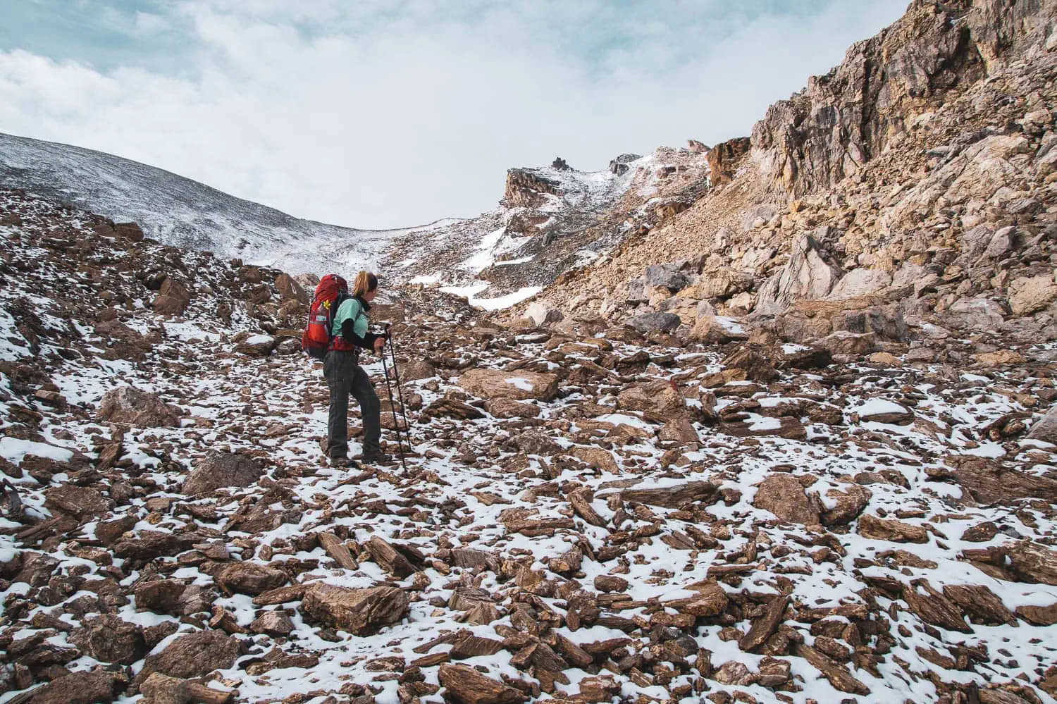
What you won't read in any travel guide with this clarity and what was the most important factor on my tour in 2014: weather days. Out of my 34 days of hiking, more than twenty were rainy days. That was an extreme summer, the upper end of the statistics, but precisely why it is instructive: six hours of continuous rain in single-digit temperatures is a wet weekend on 5-day tours, on a multi-week tour it is a hardware issue. At the Lizumer Hütte I inserted a rest day because the next stage was not feasible in that visibility and thunderstorm. No matter when you go, at least three days in 28 are rain, fog or thunderstorms. Plan them as buffer days, not as a loss.
Arrival, Departure, Language, Money
Logistically, the Dream Way is one of the easiest trans-Alpine crossings. The start and end points are both ICE/IC hubs, so getting there and back by train is cheaper and more relaxed than most hiking guides suggest. Anyone driving by car has the logistical end-problem of a car in Munich and the return journey by train from Venice. The train is clearly the cleaner solution.
Directions to Munich
Munich Central Station is reachable from any German metropolitan area in under six hours. From the central station to Marienplatz: 12 minutes on foot or one S-Bahn stop. Start early in the morning so you can reach Wolfratshausen on the first day (33 km). Anyone who wants to skip the pre-Alpine flat sections can take the BOB to Bad Tölz or Lenggries and start the mountain stages there.
Departure Venice
The final stop is Venice Santa Lucia, the railway station on the island of Venice. Direct high-speed services to Munich (via Innsbruck/Brenner) take around 6 to 7.5 hours, with a change in Verona. The route officially ends at St Mark’s Square; from there, it is a 25-minute walk or four stops by vaporetto to Santa Lucia. Alternatively, there is a long-distance coach via Milan (8 hours, from €35) or a direct flight from Munich to Venice (1 hour, from €120).
Language
German reaches as far as the Pfitscher Joch. In South Tyrol (Brixen, Bruneck, Sterzing) the region is bilingual, and German is suitable for everyday use. From Belluno onwards, Italian becomes the standard. A basic vocabulary for hut reservations, ordering and asking about the weather is enough; nobody expects fluent Italian. „Buongiorno“ and „grazie“ open many doors.
Money and documents
EUR 800 to 1,500 in cash for 28 days. Italian huts on the Dream Path corridor often only take cash, especially in the Dolomites. Withdraw cash in two installments (Munich before departure, Sterzing or Bruneck en route). An ID card is sufficient for Italy. Mountain rescue insurance is not a luxury for 28 days in the high mountains: DAV membership includes Alpine Help Fund insurance and pays for itself on a single Dream Path tour.
Chalets, guesthouses, booking
The Dream Way is a hut-to-hut trail; over 28 stages, there are hardly any legal spots for a tent. Most of the huts along the corridor are organised within the DAV/AVS/CAI network. With a DAV or AVS membership, you get member rates (often 30 to 50 percent cheaper).[2], priority for reservations, and in an emergency the right to a place to sleep (if necessary on a bench in the common room) when the hut is full.
DAV/AVS/CAI huts as the backbone
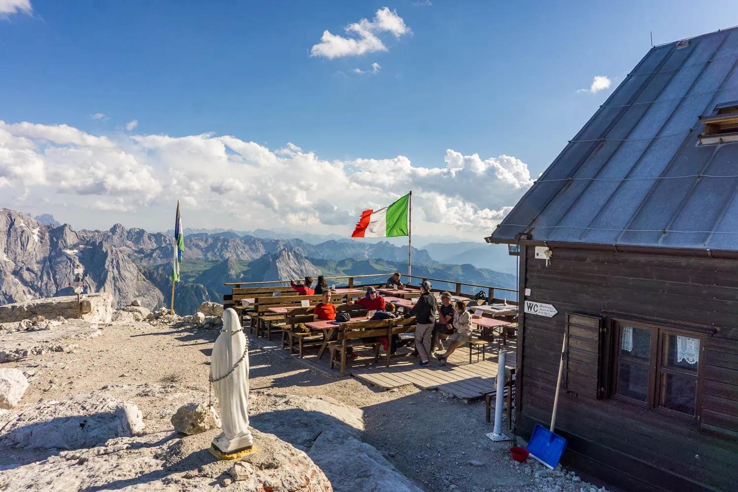
Karwendelhaus, Hallerangerhaus, Glungezerhütte, Lizumer Hütte, Tuxer-Joch-Haus, Olpererhütte, Kreuzwiesen Alm, Schlüterhütte, Puezhütte, Rifugio Boé, Rifugio Tissi, Rifugio Bruto Carestiato, Rifugio Pian de Fontana, Rifugio 7° Alpini and Rifugio Col Visentin are the main locations. Most are simple mountain huts with dormitory-style accommodation, woollen blankets provided, basic meals and limited hot water. A hut sleeping bag is compulsory; experience has shown that earplugs are also advisable.
Guesthouses and valley accommodations
At the points where the route descends into the valley (Bad Tölz, Vorderriß, Stein, Pfunders, Niedervintl, Belluno), there are guesthouses and inns in every price range. Here you can thoroughly dry your setup, buy fresh provisions and take a buffer day. 60 to 100 € per night in a double room, sometimes cheaper in a dormitory.
Camping is not an option
Wild camping is legally forbidden in Germany, Austria, and Italy, and it is monitored in the nature parks of the Dolomites in Italy. Anyone setting off on a 28-day tour with a tent will be lugging 750 to 1,200 grams of hardware through 25 high-mountain stages at two or three spots where it can be legally used. This is not mathematically efficient.
What does the Munich-Venice Dream Trail cost?
With a DAV membership and mostly staying in mountain huts, you can expect to spend between 50 and 60 euros per day, totalling around 1,500 to 1,800 euros for 28 to 30 days of hiking. If you travel by train, occasionally stay in the valley, and opt for a bit more comfort, you'll be looking at 2,000 to 2,500 euros including your return journey.
The biggest cost items:
| Post office | Economical (DAV) | Comfort (Half board/Valley accommodation) |
|---|---|---|
| Overnight camp | 15 € | 35 € |
| Alpine Half Board | 11 € | £40 (HP) |
| Breakfast (muesli or a traditional mountain hut breakfast) | 3 € | 10 € |
| Drinks, snacks, tea | 10 € | 15 € |
| Sum per day | ~40 € | ~100 € |
Additional costs include hiking maps or a hiking app (total of €80 to €120) and travel to and from your destination (one-way train ticket Munich-Venice from €50, cheaper with a saver fare).
Hiking guide, maps, GPX
There are three good guidebooks for the Traumpfad, all of which map the Graßler route. Rother Walking Guide „Munich-Venice“ The variant by Steuerwald and Baur is the most used, with detailed stage descriptions, altitude profiles and GPS tracks. The Bruckmann Photo Book Von Graßler/Troidl/Lenz is the original route with a large proportion of images. Burkhard Wittek’s „Zu Fuß von München nach Venedig“ is a travel and adventure account, good for preparation.
Maps: The route is covered by seven Kompass hiking maps (1:50,000). In order of the tour: WK 182 (Isarwinkel), WK 26 (Karwendel), WK 37 (Zillertal Alps, Tux Alps), WK 82 (Taufers, Ahrntal), WK 56 (Brixen), WK 59 (Sella Group), WK 77 (Belluno Alps). Practical tip: post the maps you've already used back home along the way; this saves weight in your backpack.
Digital: GPX tracks are available at muenchen-venedig.net, in the DAV route archive database, on Komoot and Outdooractive. For offline navigation on the go, OpenAndroMaps (in Locus Map or OruxMaps) or the Alpenvereinskarte in Outdooractive are the most reliable sources.
UL view: what to do with your setup for 28 days straight
Multi-week tours scale differently to weekend or 5-day tours. On a 5-day tour you can sit out setup weaknesses: a shoe that pinches after day 3 is still wearable on day 5. Over 28 days, the same shoe is a trail-ender after day 12. More days mainly means: every weakness in the setup is exponentially magnified.
Anyone setting off on the Traumpfad with a classic trekking setup (a 70-litre rucksack with an aluminium frame, weighing 12+ kilos) will reach their destination, but their knees and shoulders will suffer noticeably in the second half of the trek. Anyone setting off with an ultralight kit weighing under 5 kilograms will find the trek noticeably more relaxed and with a lower risk of injury. Three lessons from my 2014 trek, which now form the design philosophy behind WeitLäufer:
Frequently Asked Questions
The classic Graßler route covers around 550 km and 29 standard stages. 28 pure days of walking is realistic. With two to three buffer days for weather or rest, you'll end up at 30 to 34 days. Those who walk faster can complete the tour in 25 days, while those with more time can plan for 35.
Medium to difficult. 550 km with approximately 22,000 metres of ascent, spread over 28 to 30 days. SAC rating T2 to T3. Six technically demanding key sections, with the Schiara via ferrata being completely bypassable.
Only if you want to take the Schiara via ferrata (Stage 22, KS-3C). All other secured passages can be tackled with surefootedness and a head for heights even without a via ferrata set. Many hikers bypass the Schiara via the Rifugio Furio Bianchet, for which an additional hiking day needs to be planned.
Six sections are considered key technical passages: Achselköpfe (Stage 3), Schlauchkarsattel and Birkkarspitze (Stage 6), Friesenbergscharte (Stage 10), Nives-Scharte (Stage 14/15), Pisciaduhütte ascent (Stage 16), and the Schiara via ferrata (Stage 22). Stage 6 with the Schlauchkar descent and Stage 22 with the optional via ferrata are the most demanding.
Huts are the standard overnight accommodation. Wild camping is legally prohibited in Italian nature parks and is controlled. Anyone who brings a tent will be lugging 750 to 1,200 g through 25 high-mountain stages for a maximum of two or three spots where it can be used. An ultralight setup without a tent, with consistent hut reservations, is the clean solution.
Yes, but not from home for the whole tour. What has proved effective: book by phone two to three days in advance, in the evening at the mountain hut for the day after tomorrow. At popular huts (Pisciadu Hut, Boe Hut, Tissi) and at weekends perhaps a week in advance. At DAV (German Alpine Club) huts, only up to 90 percent of the places may be reserved in advance, the rest are allocated spontaneously.
German extends to the Pfitscher Joch. In South Tyrol (Sterzing, Bruneck), the region is bilingual.
Mid-July to mid-August is the most reliable window (all huts open, passes clear of snow). Early to mid-September is quieter scenically with shorter days and early frost nights. Before the end of June and after mid-September, it becomes logistically difficult.
Munich Central Station is accessible from any German metropolitan area in under six hours by ICE/IC. The endpoint is Venice Santa Lucia, with a high-speed connection via Innsbruck or Verona back to Germany (around 6 to 7.5 hours from Munich, 9 hours from Berlin). Travel by car is not recommended due to the final logistics.
Next step: Plan tour
The Munich-Venice Dream Trail isn't Europe's most spectacular trail, but it's one of the most honest multi-week treks a German-speaking hiker can undertake. 28 to 30 days straight, from Marienplatz to St Mark's Square, through six mountain regions and two language areas. Anyone who walks it learns more about their own gear than on ten short trips.
Für die nächsten Schritte: Such dir einen Rother Walking Guide „Munich-Venice“ As a base, get the Compass maps or a hiking app with offline-capable Alpine Club maps, plan six months of fitness building, and book train tickets sooner rather than later. Before the tour: do two weekend trips with the fully packed setup and register any pressure points.
For the overall context (which Alpine crossing route suits me, E5 vs. Traumpfad vs. Heilbronner), our Alpine crossing pillar the dream path into the cluster of all Alpine crossing routes. Those who want the full packing list with specific gram weights should go to Alpine crossing packing list. Anyone looking for a sister trail in the low mountain range will find it on our Westweg Guide. For those who want to delve deeper into UL methodology: the Ultralight Trekking Guide is the pillar reference.
Sources
- Tour dates for the Munich-Venice Dream Way on the official Alpine clubs' tour portal (depending on the variant, up to 562 km of route, around 24,000 metres of ascent). alpenvereinaktiv.com
- DAV: Staying at Alpine Club huts, overnight rates and member benefits (at least a €12 discount per overnight stay for members). alpenverein.de
- Alpine Club Munich & Oberland: Basic knowledge of hut reservations, according to the hut and tariff regulations of the DAV, only up to 90 per cent of beds may be reserved in advance. alpenverein-muenchen-oberland.de