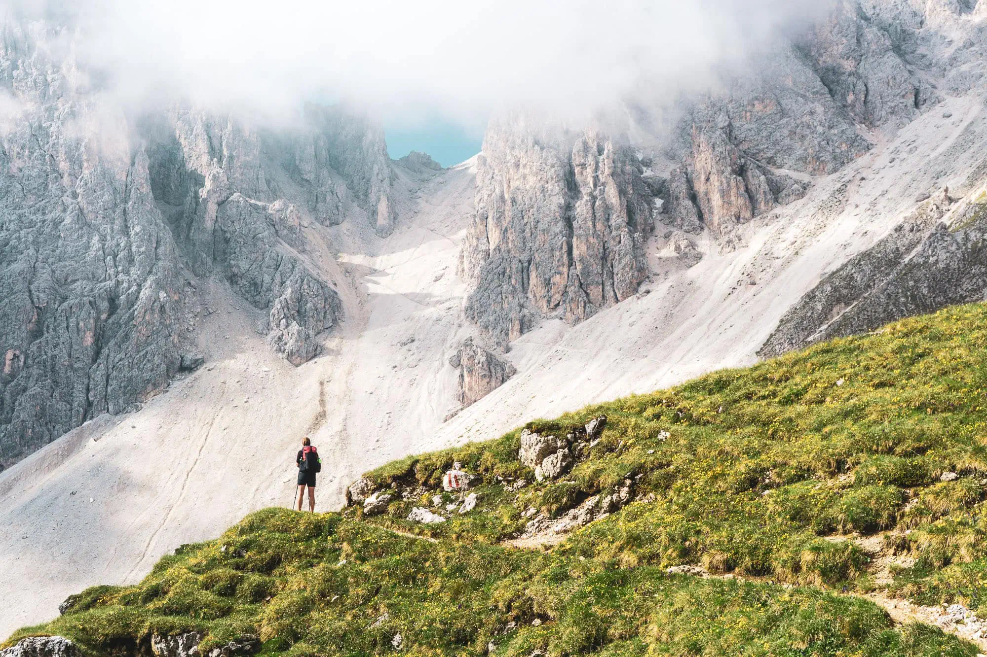
Anyone who has experienced it can confirm: Crossing the Alps on foot is an unforgettable experience, especially the first time. To cross Europe's most famous mountain range under your own steam is not only humbling but also brings a great deal of joy. Putting one foot in front of the other for days, or even weeks, getting up with the sunrise.
My first attempt in 2014 was the 555 kilometres of the Munich–Venice Dream Trail. Three years later, my girlfriend and I walked from Vienna to Nice in 107 days. In between and afterwards came the GTA, parts of the Via Alpina, and in recent years, numerous smaller stage hikes in the Swiss Alps and the High Black Forest. The Alps have now become something like a second home for me.
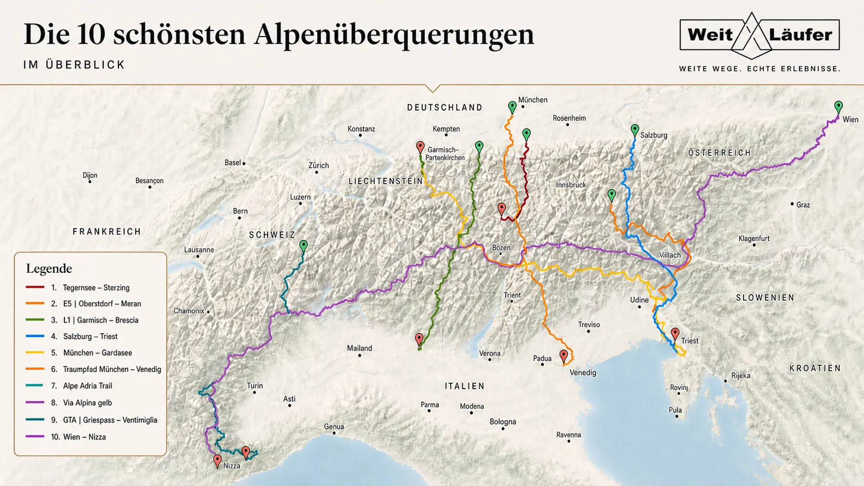
But which route should we take over the Alps? To make the agony of choice a little easier for you, I'll introduce ten long-distance Alpine trails in more detail in this article. With variations for every timeframe. From 6 to 95 stages. For connoisseurs and long-distance runners.
The 10 Routes at a Glance
In the following table, you will find a clear summary of the ten Alpine crossings, sorted by total length. In addition to the route length, you will find information on the number of stages, the altitude gain, and the difficulty level.
| Route | Route | Stages | Metres gained | Difficulty |
|---|---|---|---|---|
| Tegernsee – Vipiteno | 144 km | 7 | 4,500 / 4,200 m | T1 – T2 |
| E5 | Oberstdorf – Merano | 181 km | 6 – 8 | 5,000 / 6,500 m | T2 – T3 |
| L1 | Garmisch – Brescia | 437 km | 28 | 33,000 / 33,500 m | T2 – T5 |
| Salzburg – Trieste | 500 km | 28 | 25,500 / 26,000 m | T2 – T4 |
| Munich – Lake Garda | 550 km | 31 | 25,000 / 24,500 m | T2 – T4 |
| Dream Path Munich – Venice | 555 km | 29 | 22,200 / 25,000 m | T2 – T3 |
| Alpe Adria Trail | 683 km | 38 | 25,300 / 27,600 m | T1 – T3 |
| Via Alpina (yellow) | 800 km | 40 | 45,400 / 44,600 m | T2 – T3 |
| GTA | Griespass – Ventimiglia | ~1,000 km | ~65 | 65,000 / 65,000 sqm | T2 – T3 |
| Vienna – Nice | ~1,900 km | 95 | ~100,000 / 100,000 m | T2 – T4 |
Tegernsee – Vipiteno
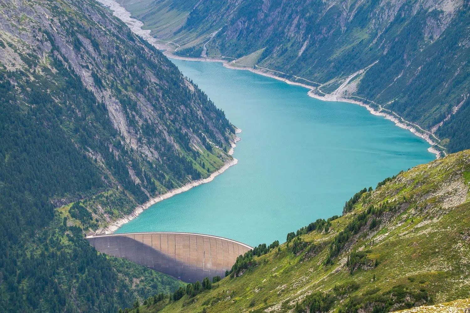
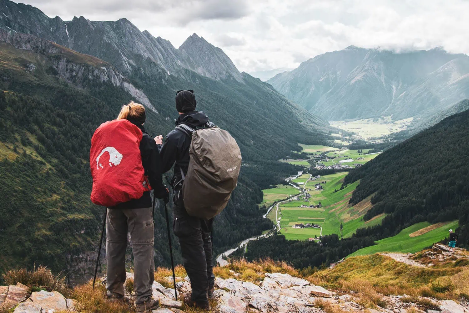
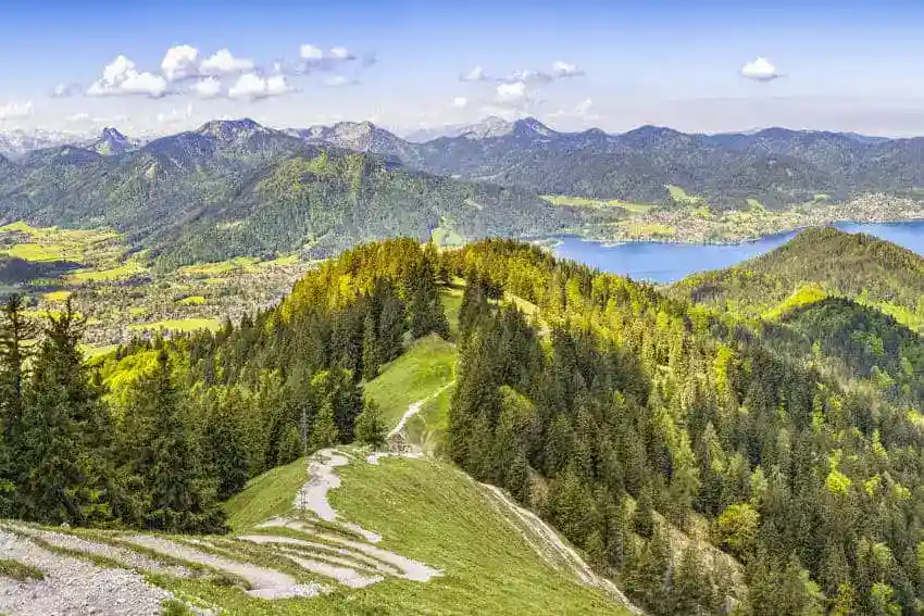
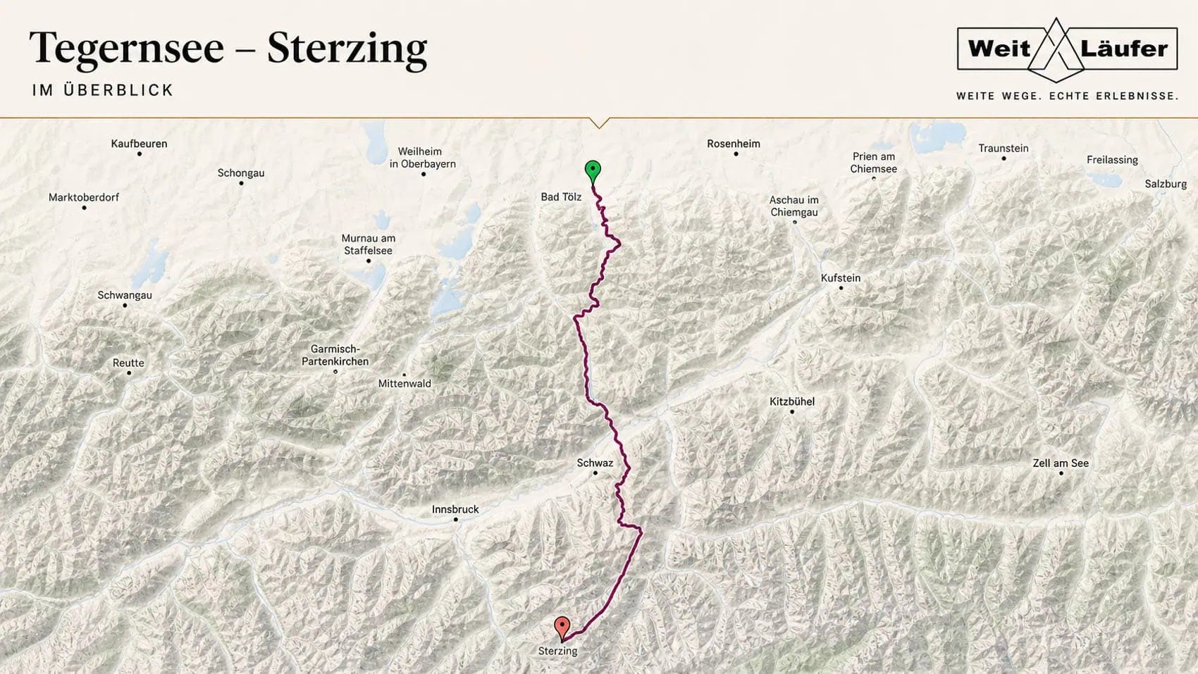
The crossing of the Alps from Upper Bavaria Tegernsee to Sterzing In South Tyrol, one of the youngest routes. It is the result of cooperation between the four tourist regions that the path traverses. A section of the Alps is crossed over 7 stages on easy to moderately difficult paths. The total route length of approximately 144 kilometres is shortened to around 100 to 110 kilometres if all bus, boat, and cable car transfers are used.
Anyone who can get to grips with the concept of "Genusswandern" (indulgent hiking) should take a closer look at this route. For the more adventurous, there are more suitable paths across the Alps.
| Stages | 7 (also doable in 5 days for the persevering) |
| Metres gained | Ascent 4,500 m / Descent 4,200 m |
| Difficulty | T1 – T2 |
| Highest point | 2,246 m (Pfitscher Joch) |
| Regions traversed | Bavarian Alps, Tux Alps, Zillertal Alps |
| Best time of year | End of June – Mid-September |
E5 | Oberstdorf – Merano
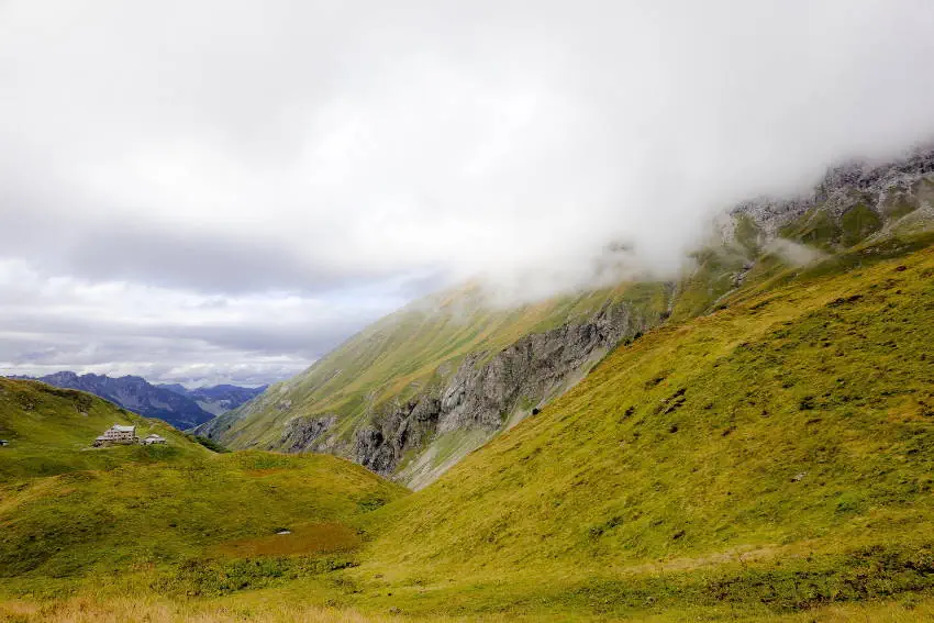
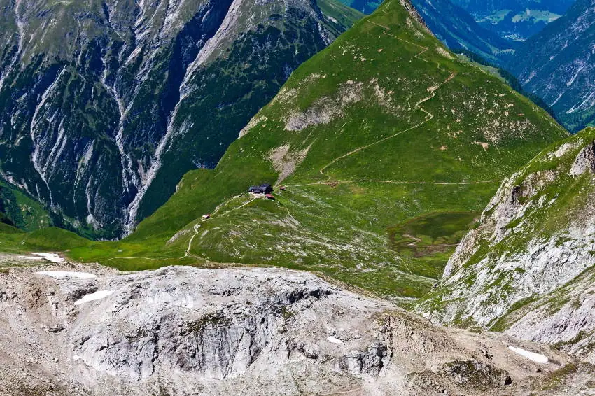
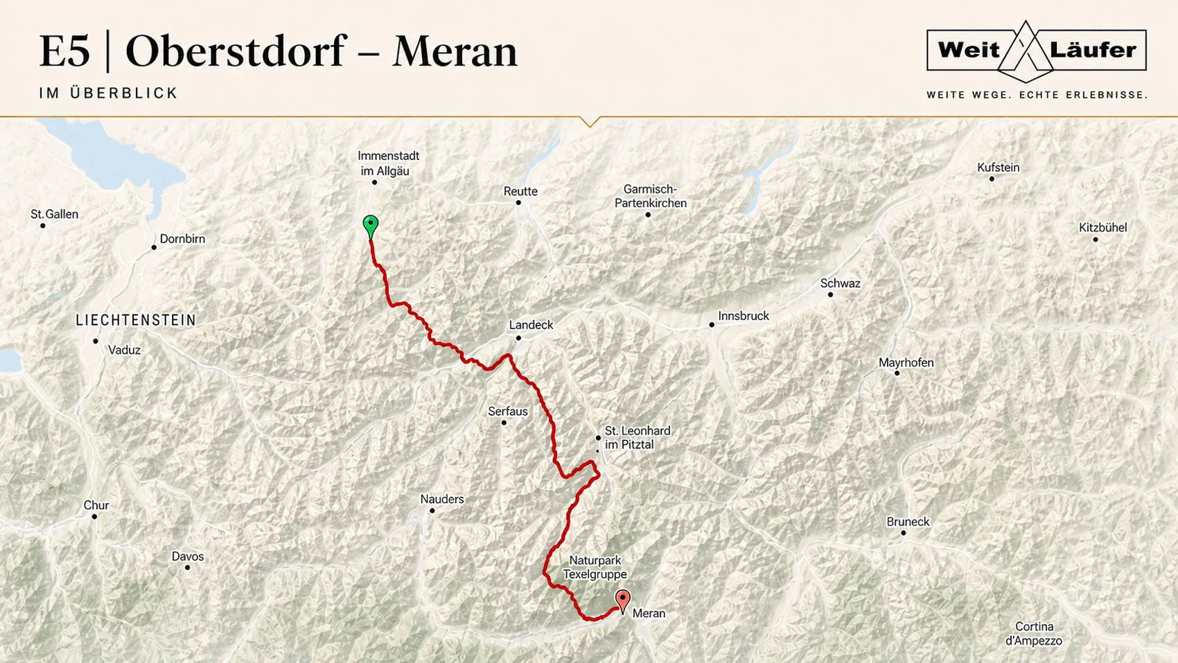
The most famous Alpine crossing is undoubtedly the route from Oberstdorf to Merano. At just 181 km with an average of 7 stages, it is also one of the shortest routes here. This means it can easily be incorporated into your annual hiking plans, even if you have limited holiday days. Its manageable duration and good transport links also make it very popular with aspiring long-distance hikers crossing the Alps.
Overbooked huts and heavily frequented paths are the resulting side effects, especially during the peak season of July/August. Therefore, timely planning is particularly advisable when booking hut accommodation. This traverse of the Alps is full of scenic delights and offers the possibility of staying overnight at over 3,000 metres in the Similaun Hut.
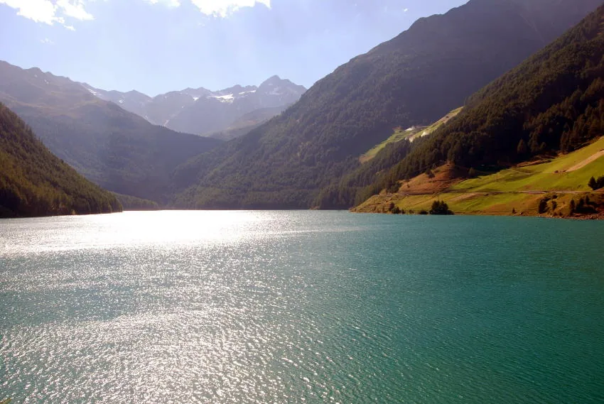
Unfortunately, some sections of this route also involve transfer journeys. For a pure alpine crossing on foot, the route needs to be altered somewhat, particularly towards the end, if one does not wish to travel by bus to Meran. Tip: From the Vernagt Reservoir, you can continue hiking to Merano via the yellow route of the Via Alpina.
| Total distance | 181 km (106 km of which on foot) |
| Stages | 6 – 8 |
| Metres gained | Ascent 5,000 m / Descent 6,500 m |
| Difficulty | T2 – T3 |
| Popularity | very high |
| Highest point | 3,078 m (Similaun Hut) |
| Regions traversed | Allgäu Alps, Lechtal Alps, Ötztal Alps |
| Best time of year | End of June – Mid-September |
L1 | Garmisch – Brescia
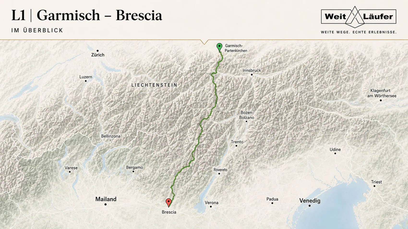
The L1 Alpine crossing starts in Garmisch-Partenkirchen and leads past the Zugspitze for 437 kilometres into the Italian lowlands towards Brescia. In contrast to the preceding routes, this long-distance hiking trail is little known. Furthermore, the route, developed by Hans Losse in 1989, completely dispenses with the use of mountain railways or bus transfers, as well as long stretches of asphalt. The focus is on maximum nature experience.
Accordingly, remote areas without tourist infrastructure are often traversed. Optimal conditions for enjoying the majesty of the mountains and the scenic impressions undisturbed. The cardiovascular and technical challenge is among the highest of all the Alpine crossings presented here. This is because the L1 frequently crosses the 3,000-metre mark and also traverses some easy glaciers. However, no climbing sections need to be overcome; equipment with crampons is sufficient. Corresponding (high) alpine experience and excellent sure-footedness are, however, necessary.
| Stages | 28 |
| Metres gained | Ascent 33,000 m / Descent 33,500 m |
| Difficulty | T2 – T5 |
| Popularity | slight |
| Highest point | 3,208 m (Hauslabjoch) |
| Best time of year | Late June to mid-September (depending on snow conditions) |
Salzburg – Trieste
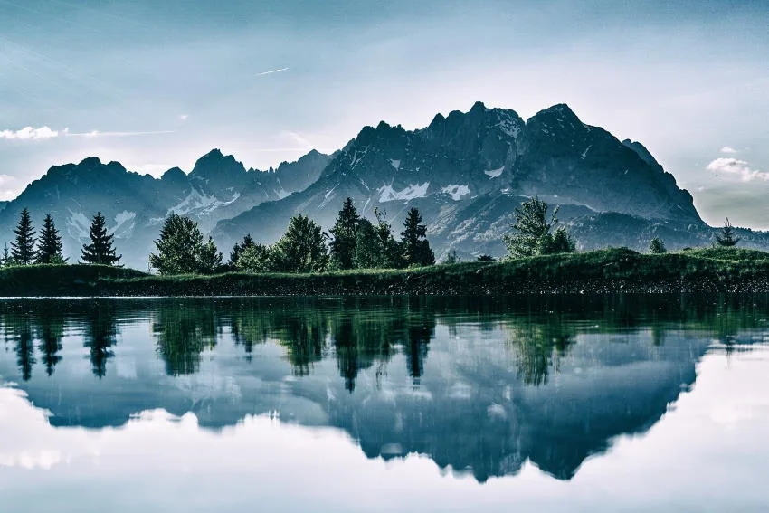
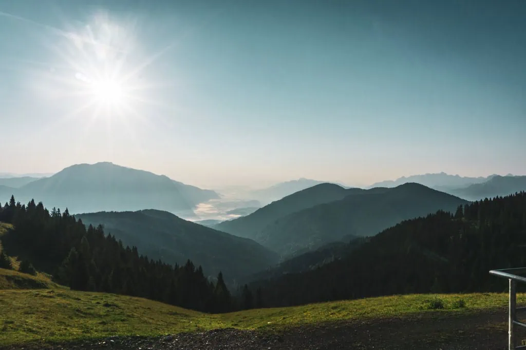
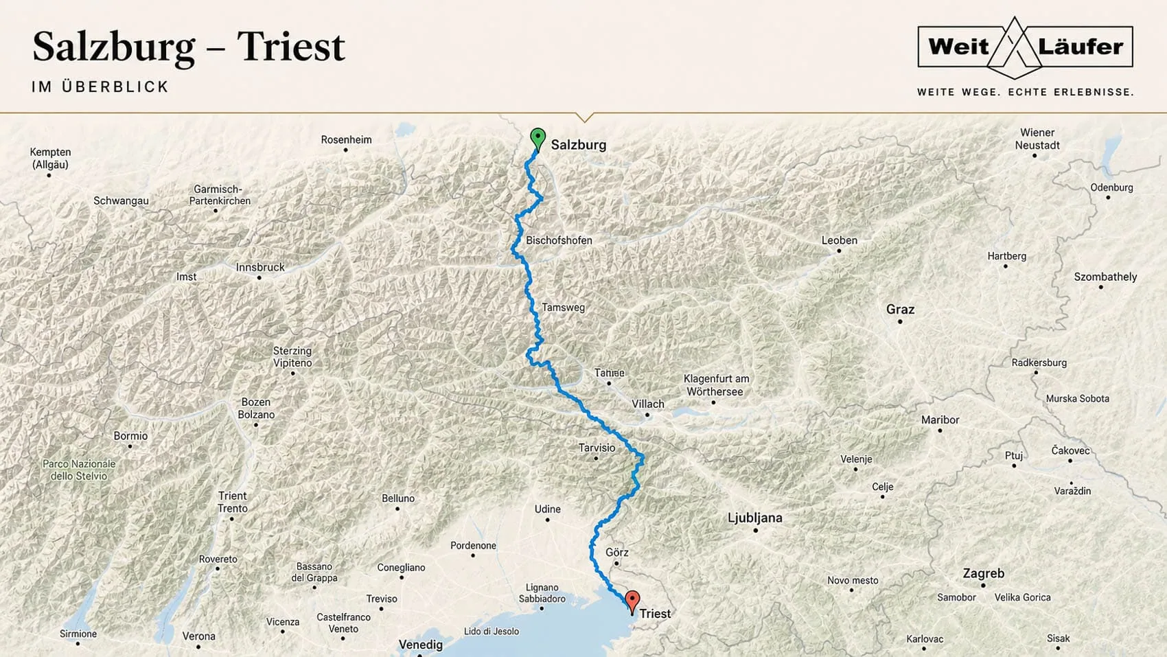
Also a relatively new link in the chain of Alpine crossings is the multi-day hike from Salzburg to Trieste. The hikers begin in the Austrian border town of Salzburg and cover 500 kilometres and a total of more than 50,000 metres in altitude over 28 stages. In addition to the High Tauern, the fantastic Julian Alps in Slovenia are also traversed.
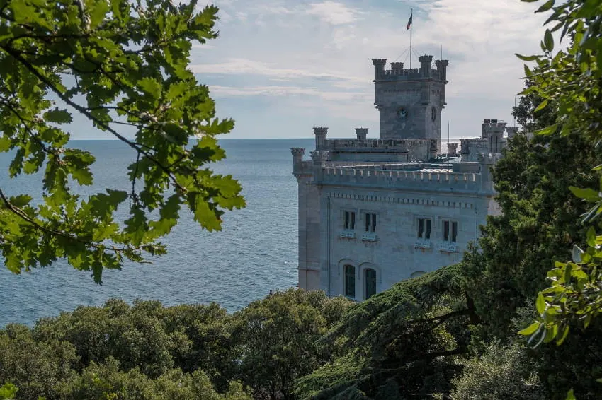
This Alpine crossing was developed in 2013 by fellow blogger and author Christof Herrmann and is therefore far less frequented than the best-known examples in this overview. So, if you have a month to spare, you'll experience scenic highlights in three different national parks and cross seven mountain ranges. Furthermore, after the last stage, tired feet can be dipped into the clear waters of the Adriatic Sea. A more than worthwhile finale.
Anyone travelling continuously for a month is virtually guaranteed to walk into two or three different weather systems – and that usually means a few days of non-stop torrential rain. On such trips, it has become increasingly clear to me over the years that the difference between „water-resistant“ and „truly weatherproof“ in a backpack often only becomes apparent after three wet days – when the inside starts to get damp despite a rain cover because the seams are not taped.
| Stages | 28 |
| Metres gained | Ascent 25,500 m / Descent 26,000 m |
| Difficulty | T2 – T4 (for T4 passages, there are simpler variations) |
| Popularity | middle |
| Highest point | 2,754 m (Fraganter Scharte) |
| Regions traversed | Berchtesgaden Alps, Hohe Tauern, Carnic Main Ridge, Julian Alps, Friuli |
| Best time of year | Late June to mid-September (depending on snow conditions) |
Munich – Lake Garda
Whilst in its initial stages it resembles the Dream Trail, the shared time of the two paths also comes to an end with the mountain stages. This long-distance hiking trail was created as a conscious alternative to the well-trodden classic. Nevertheless, it crosses the aforementioned Dream Trail in a few short sections.
The resulting destination, Lake Garda, is as attractive as the Venetian Lagoon. However, with some challenging ascents and long stages, this trail should not be underestimated in terms of physical demand. Unlike the "Traumpfad" (dream path), the amount of ascent remains comparatively high until the final day.
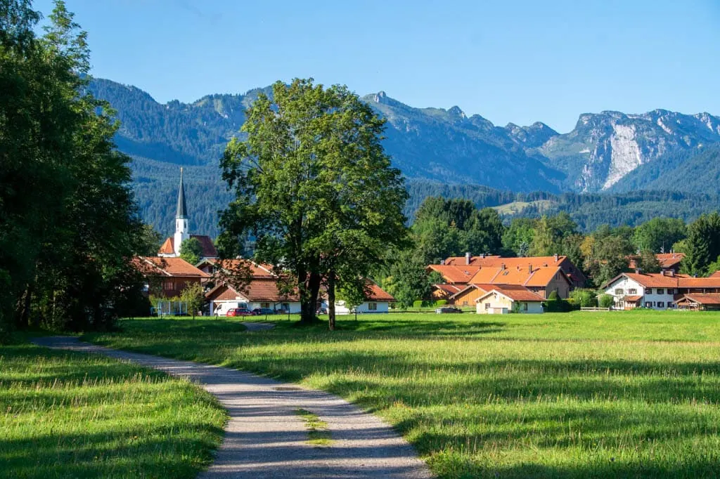
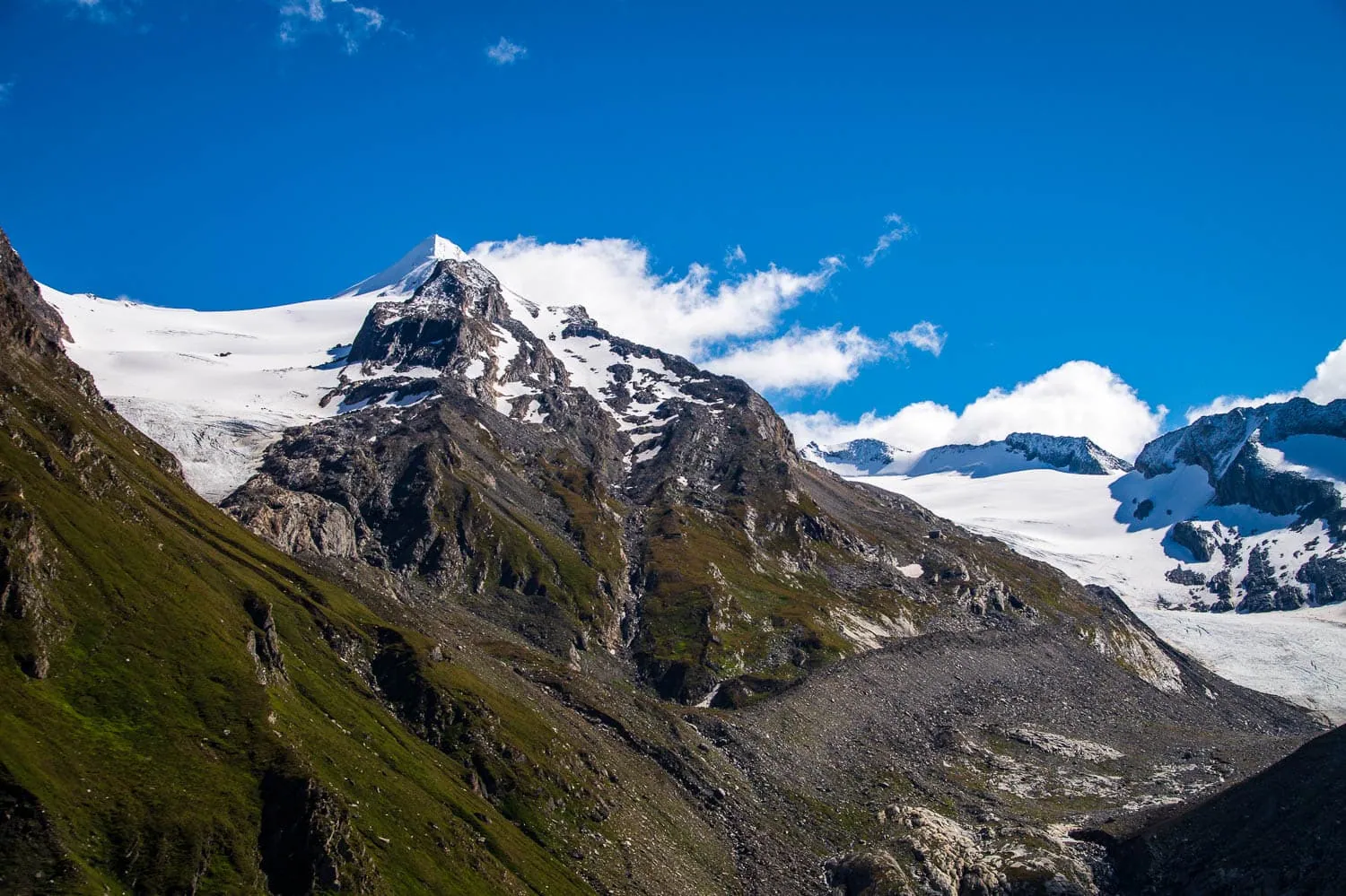
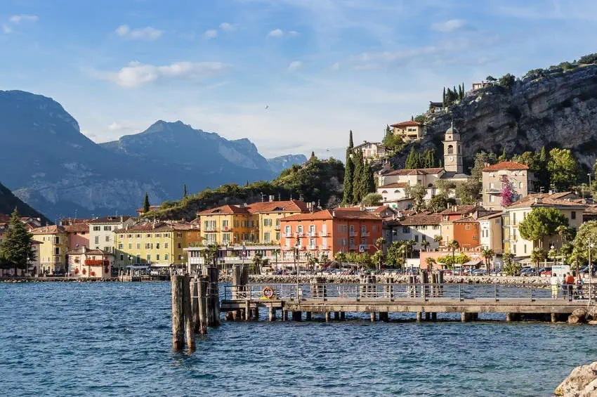
| Stages | 31 |
| Metres gained | Ascent 25,000 m / Descent 24,500 m |
| Difficulty | T2 – T4 |
| Popularity | slight |
| Highest point | 2.950 m |
| Regions traversed | Pre-Alpine land, Karwendel, Inn Valley, Tux Alps, Zillertal Alps, Sarntal Alps, Brenta |
| Best time of year | Late June to mid-September (depending on snow conditions) |
Dream Path Munich – Venice
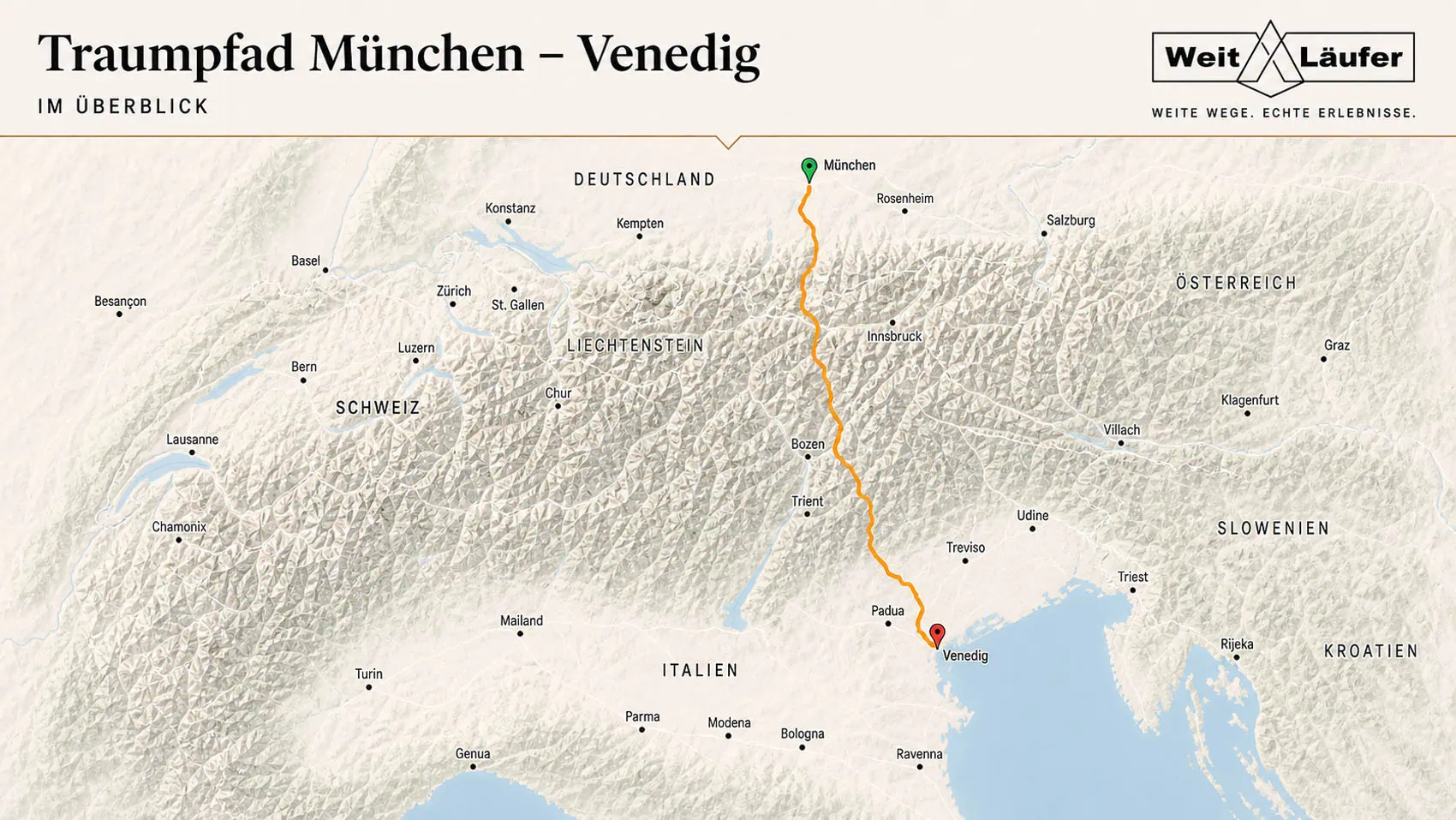
Next to the E5 is the Munich–Venice Dream Trail By far the best-known and most popular Alpine crossing. The route leads from the Bavarian state capital and the Alpine foothills 555 km south to the Venetian lagoon on the Adriatic coast. In 29 daily stages, a total of 47,500 metres in altitude need to be overcome.
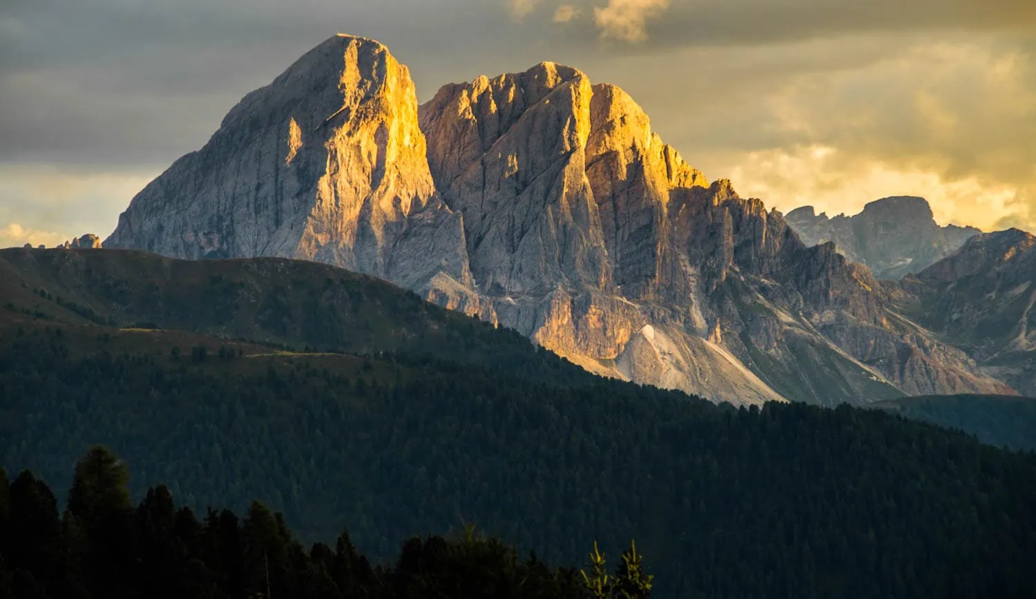
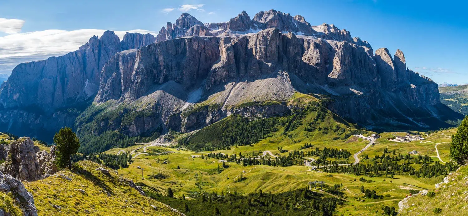
As a reward, this multi-week long-distance hike leads through some of the most diverse regions and mountain ranges of the Alps. From the Bavarian pre-Alps, it leads into the limestone cliffs of the Karwendel. This is followed by the Tux Alps and the main Alpine ridge. Via the Lüsen Alm, the Dolomites with their impressive rock towers are reached. In Belluno, the Alps are left behind, and the Italian lowlands are crossed in five stages to Venice.
Technically, the dream path also offers a certain variety. In addition to narrow and scenic mountain paths, several scrambling sections as well as a via ferrata (Schiara) await hikers. Almost all of these climbs can be bypassed via alternative routes. Those travelling in July and August should book their accommodation not too late.
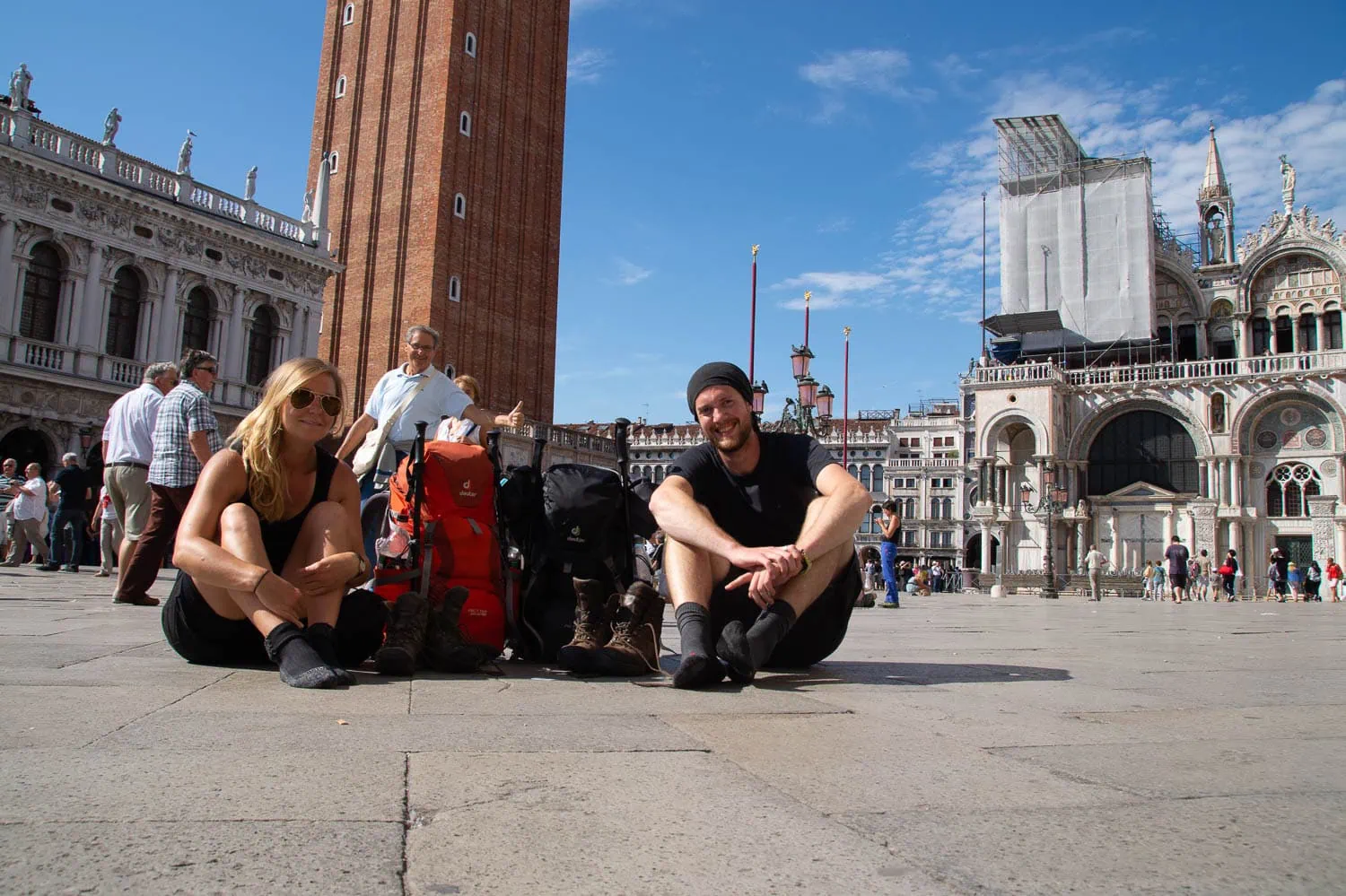
The Dream Way was my first long-distance tour in 2014. Back then, I set off with a 65-litre rucksack that was far too heavy and realised by the third day at the latest that the „better safe than sorry“ concept is quickly reduced to absurdity on a multi-week tour. What still looked like a sensible safety margin on day one felt like two kilos of punished optimism by day five.
| Stages | 29 |
| Metres gained | Ascent 22,500 m / Descent 25,000 m |
| Difficulty | T2 – T3 (a few T4) |
| Popularity | very high |
| Highest point | 2,904 m (Friesenbergscharte) or 3,152 m (Piz Boé) |
| Regions traversed | Pre-Alpine region, Karwendel, Tux Alps, Puster Valley, Dolomites, Nevegal |
| Best time of year | End of June – Mid-September |
Alpe Adria Trail
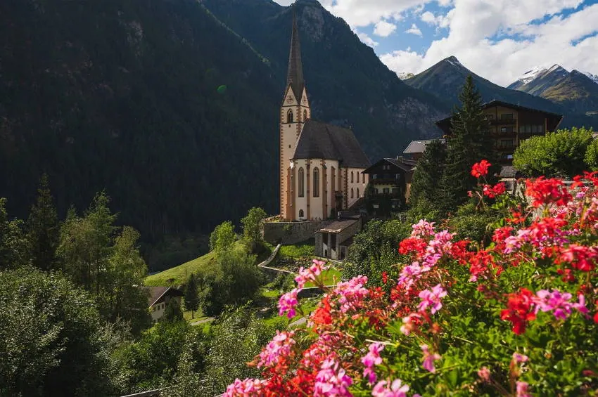
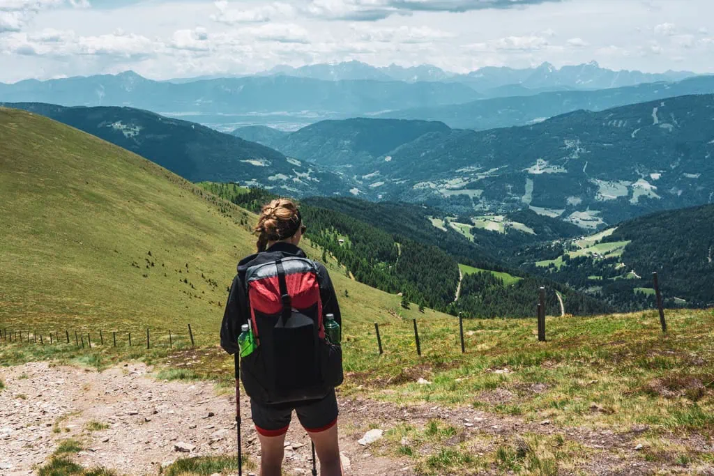
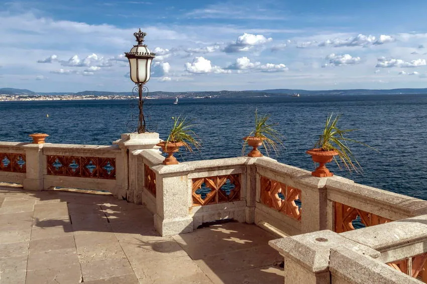
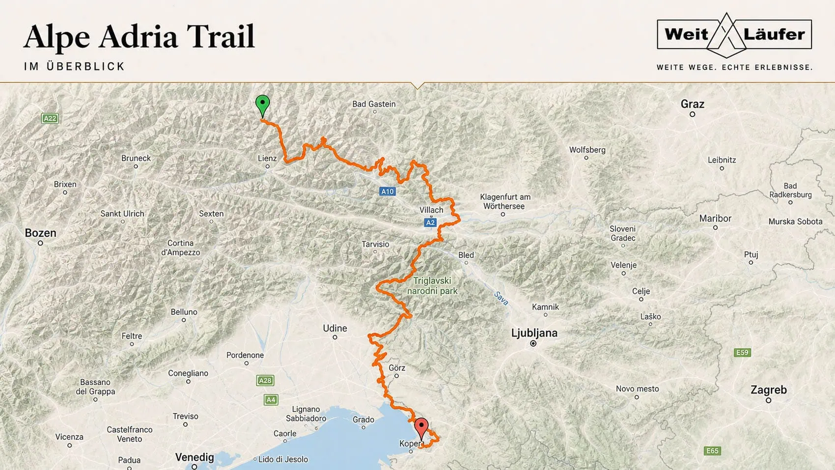
The Alpe Adria Trail takes you south of the main Alpine ridge, from the foot of the Großglockner to the Adriatic coast at Muggia, near Trieste. With an average length of 17 kilometres, the 38 or so stages are designed in such a way that no exceptional athletic ability is required to complete them. The key to this Alpine crossing is leisurely long-distance walking.
However, the scenery is definitely not neglected on this long-distance hiking trail. The first stages lead the Alpine crossing hikers through the Hohe Tauern, the Nockberge and to the picturesque Carinthian lakes, before continuing into Slovenia and into the impressive rock giants of the Julian Alps.
| Stages | 38 |
| Metres gained | Ascent 25,300 m / Descent 27,600 m |
| Difficulty | T1 – T3 |
| Popularity | middle |
| Highest point | 2.366m |
| Regions traversed | Hohe Tauern, Nockberge, Carinthian Lakes, Triglav National Park, Natisone Valley |
| Best time of year | End of June – Mid-September |
Via Alpina – yellow
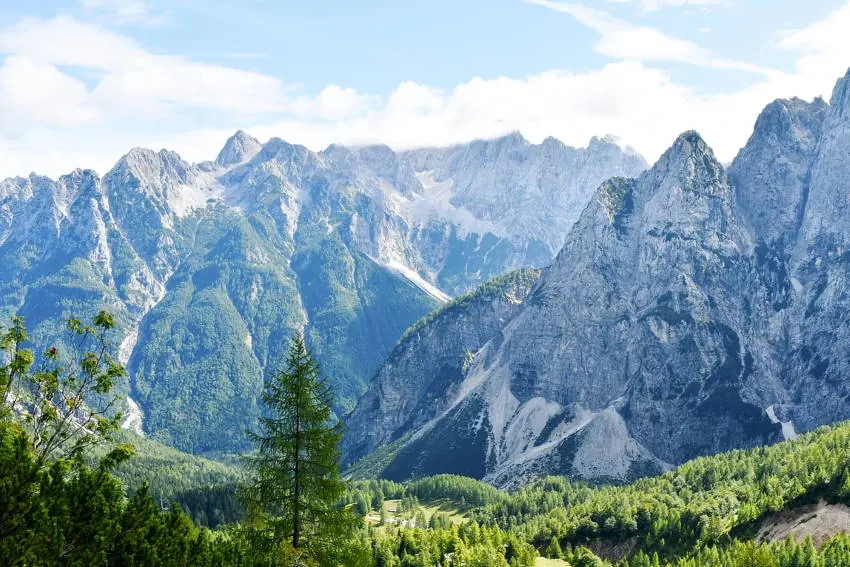
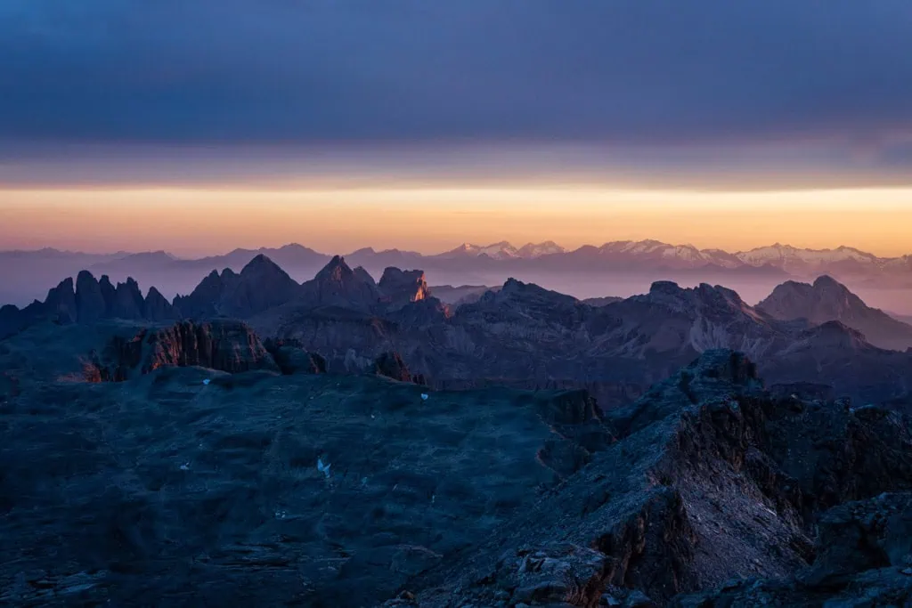
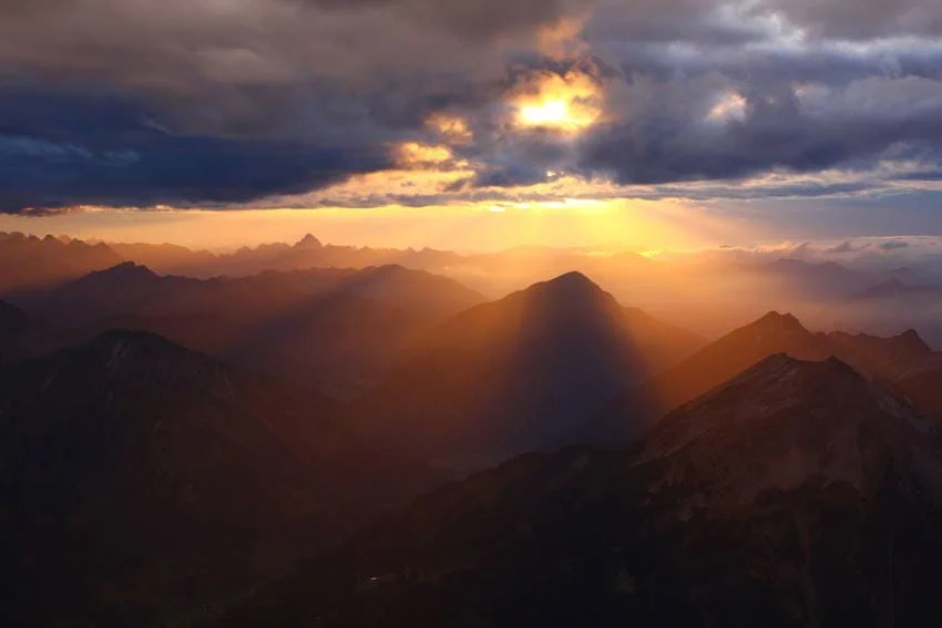
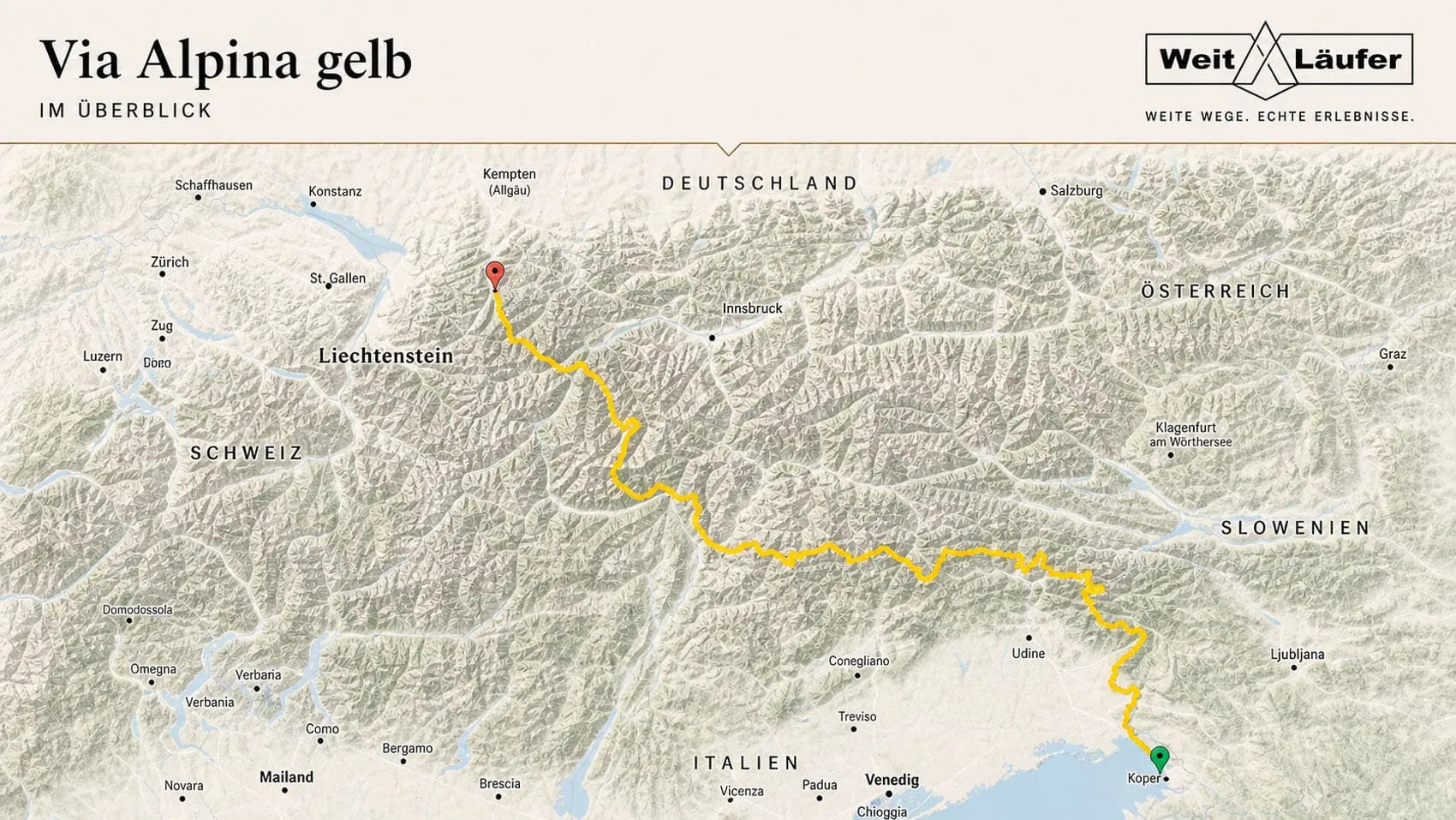
The yellow route of the Via Alpina, at 800 kilometres, is a truly extensive Alpine crossing. Unlike most of the routes presented here, the starting point is by the sea in Trieste. Instead of heading south, you tend to follow a more northerly direction. After leaving the Italian plains, hikers first encounter the Julian Alps and then the Carnic Alps.
Once we’ve crossed the Dolomites, we’ll already be more than halfway there in Bolzano. Soon, the route meets the end point of the E5 route between Oberstdorf and Merano. We then follow this route in the opposite direction back to Oberstdorf. With some very long stages involving significant elevation gain, this Transalp is a physical challenge.
Note: There are many more Via Alpina long-distance footpaths. However, they often overlap with other routes presented here. On via-alpina.org Is there a good overview of all possible variants?.
| Stages | 40 |
| Metres gained | Ascent 45,400 m / Descent 44,600 m |
| Difficulty | T2 – T3 |
| Popularity | depending on the section: low – very high (E5 section) |
| Highest point | 3,019 m (Niederjoch) |
| Regions traversed | Julian Alps, Carnic Alps, Dolomites, Ötztal Alps, Lechtal Alps, Allgäu Alps |
| Best time of year | End of June – Mid-September |
Grande Traversata delle Alpi (GTA)
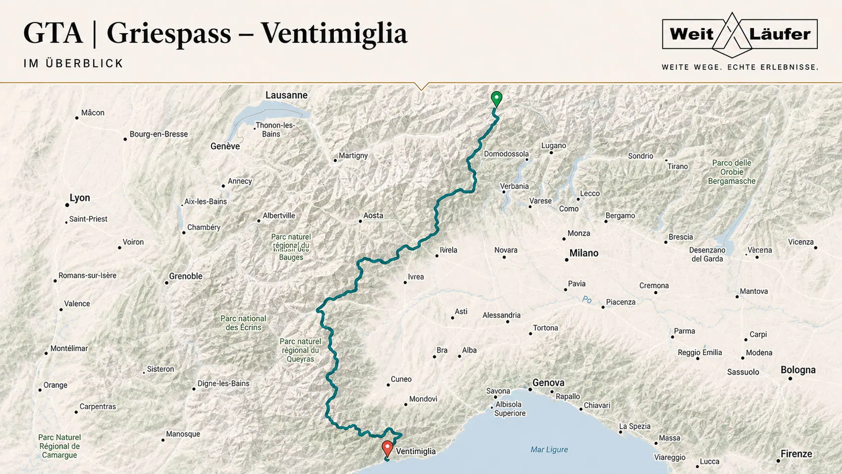
The Grande Traversata delle Alpi – or GTA for short – is one of the few long-distance trails that goes through the western part of the Alpine arc. It runs from the Gries Pass in Switzerland to Ventimiglia on the Italian Mediterranean coast. Along the way, we’ll cover around 1,000 kilometres in 65 stages and tackle a staggering 65,000 metres of elevation gain on the ascent alone.
Although the mountain trails of the GTA are rarely technically demanding, climbs of well over 1,000 metres in altitude per day are not uncommon. You should therefore have a solid level of basic stamina to tackle this route. But it is well worth the effort in every respect. You’ll explore the most secluded mountain regions of Piedmont, pass through abandoned Walser villages and sample the fantastic Piedmontese cuisine. In addition, there are opportunities for a few detours to impressive peaks such as the 3,538-metre-high Rocciamelone, towering high above the Susa Valley.
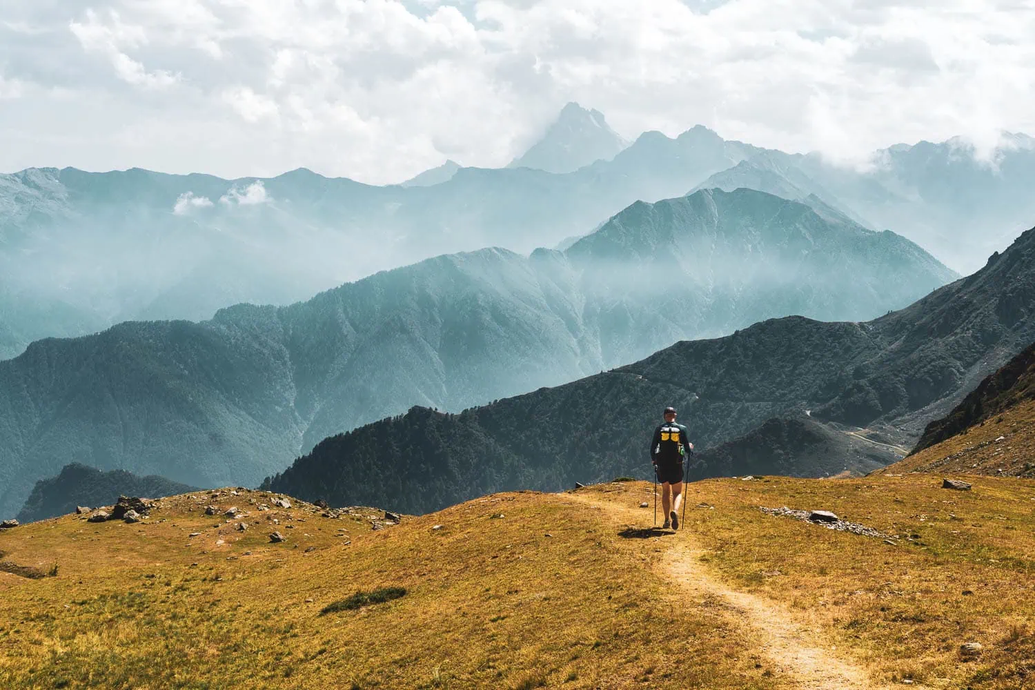
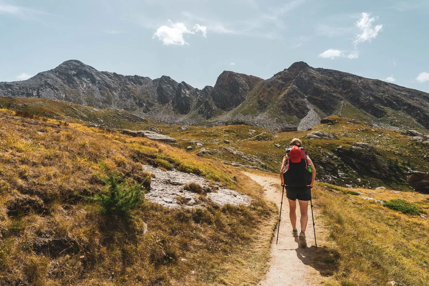
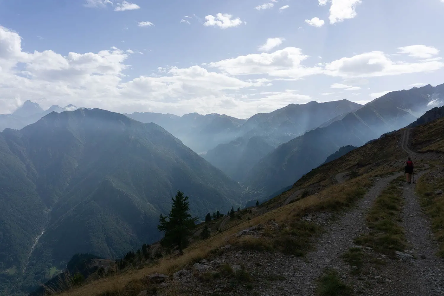
When we followed this route over 40 stages in 2017, we got to know the Alps all over again. Away from tourist facilities and well-known peaks, amidst unfamiliar cultures, long-distance hiking becomes a particularly appealing adventure. The GTA comes highly recommended, especially for walkers who enjoy exploring the mountain trails on their own.
| Stages | 65 |
| Metres gained | Ascent 65,000 m / Descent 65,000 m |
| Difficulty | T2 – T3 |
| Popularity | slight |
| Highest point | 2,804 m (Colle de Bellino), detour to 3,538 m (Rocciamelone) |
| Regions traversed | Valais Alps, Graian Alps, Cottian Alps, Maritime Alps |
| Best time of year | Mid-June to October (snow conditions permitting) |
Vienna – Nice
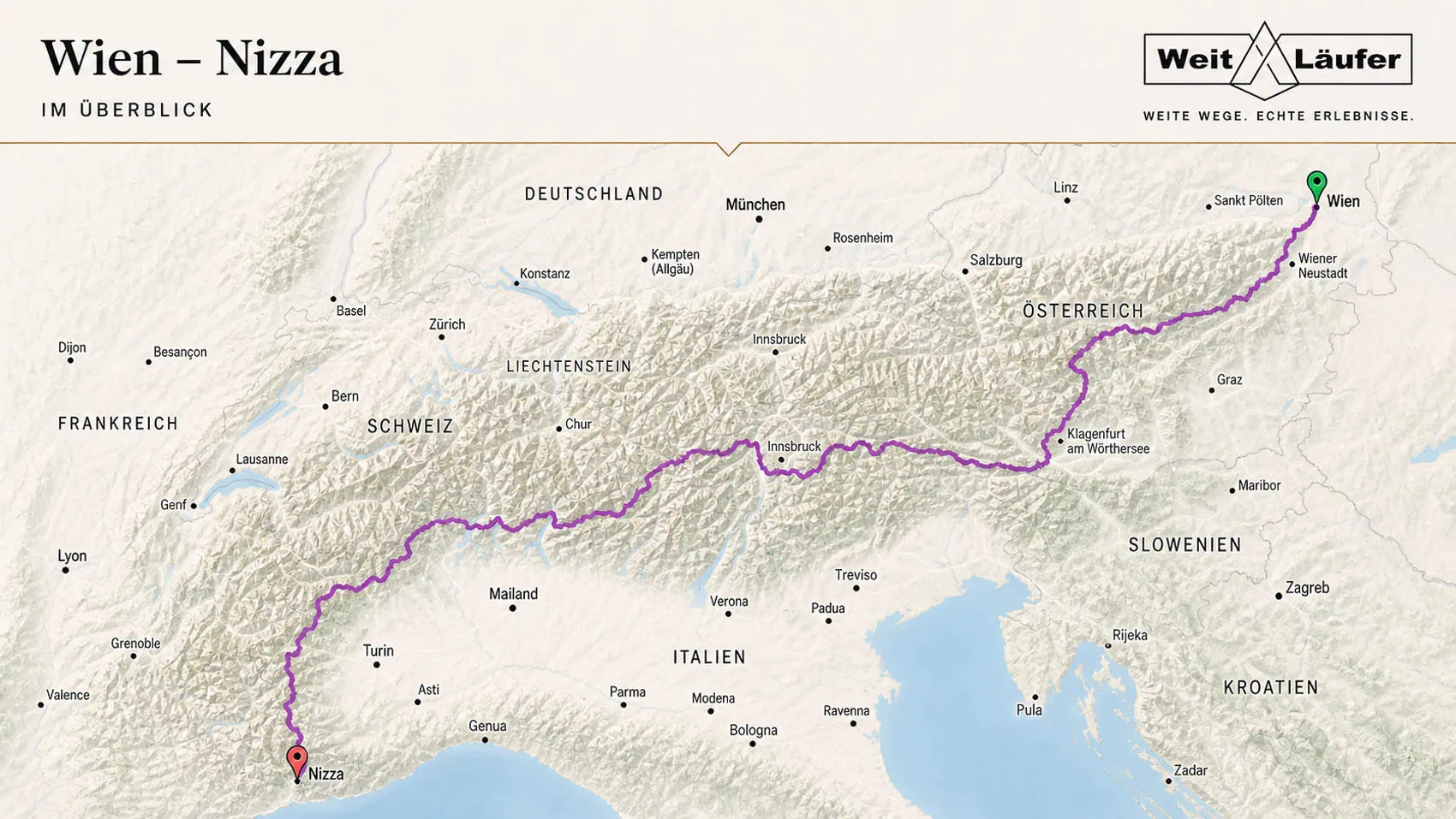
With around 1,900 kilometres and at least 95 stages The unofficial Alpine crossing from Vienna to Nice is the longest of the long-distance walking routes listed here. I mapped out this route with my girlfriend in 2016 and walked it in 2017 over a period of 107 days. But we weren’t the first to tackle this route. Several people before us had already set off on foot from the Austrian capital with Nice as their destination.
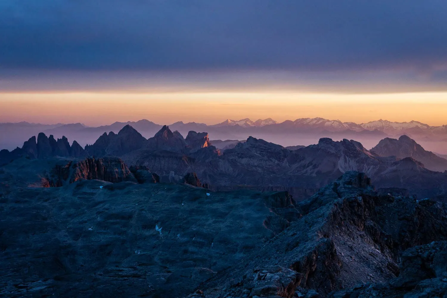
This path consists of a series of long-distance alpine trails that have been joined together at their intersection points. As a whole, the route follows the entire alpine arc from the easternmost point to the place where the Alps gently drop into the Mediterranean Sea on the Côte d'Azur. From the rolling hills of Carinthia to the rugged rock towers of the Dolomites, to the deserted Walser villages in the western Piedmont.
An Alpine crossing – which is more akin to an Alpine traverse – could hardly be more varied. However, technically, like all other Transalpine routes, it can be easily mastered by experienced mountain hikers. Apart from a few scrambling sections where hands are used, the route follows pure mountain paths. A via ferrata set is therefore not necessary.
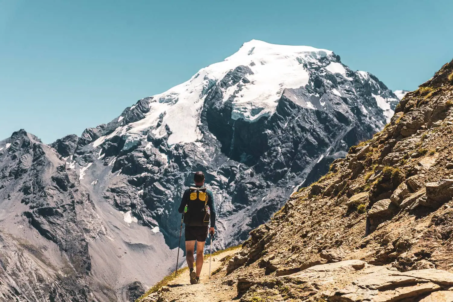
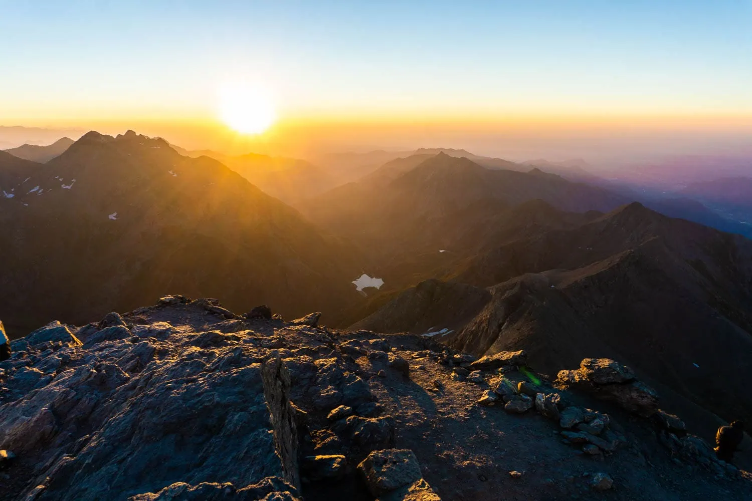
107 days in a row with a rucksack on your back fundamentally changes your perspective on gear. What seemed negligible on day 1 – a shoulder pad that was too hard, a hip belt that didn't quite fit, an extra litre of weight – becomes a daily torment by day 30. Conversely, it turns out that many of the things you packed „just in case“ are used precisely zero times in 100 days of mountain hiking.
| Stages | 95 |
| Metres gained | Ascent ~100,000 m / Descent ~100,000 m |
| Difficulty | T2 – T4 |
| Popularity | slight |
| Highest point | 3,538 m (summit of Rocciamelone) |
| Best time of year | Late May – mid-October (depending on snow conditions) |
| More information | Tour reports on BergReif |
What I've learned about gear from ten tours
Once you start long-distance running, you don't stop easily. Between my first tour in 2014 and today, there are thousands of kilometres of mountain paths. Here are the five insights I would give to anyone planning their first multi-week Alpine crossing today.
Volume: You probably need less than you think
Most first multi-week tours are started with backpacks between 60 and 75 litres. Luggage is known to expand to fill the available space – those with 70 litres available will pack 70 litres. Those with 50 litres will pack 50 litres and won't miss anything.
For nearly all the routes described here, 45 to 55 litres are perfectly sufficient if you're staying in mountain huts or guesthouses. Only for tent tours, like on some sections of the GTA or the L1, is a larger volume truly needed – and even then, rarely more than 60 litres. Anyone who doesn't believe this only needs to speak to experienced long-distance hikers: most have ended up at the same volume at some point.
Weight matters – but not in the way many think
„Ultralight“ is often confused with „spartan“ or „deprivation“. In fact, UL trekking is less about leaving out comfort than it is about honestly evaluating every piece of gear. When you weigh every item and decide whether the weight justifies the benefit over three weeks, a surprising amount gets dropped – and what remains can often be replaced by lighter versions without you genuinely losing comfort.
The first 3 kilos of savings usually come almost as a gift – simply by cleanly decluttering. For the next 2 kilos, you need to think more seriously about materials and constructions.
Weather: What taped seams really mean
On a weekend trip, it doesn't matter whether your backpack is completely waterproof or not – if in doubt, you just pull the rain cover over it and that's that. On a 28-day trip like Salzburg to Trieste or the 100+ days of a Vienna to Nice, it's different. There's practically always a week of several days of continuous rain at a time. And after three or four wet days, you painfully notice the difference between „water-repellent“ and „truly weatherproof“: the rain cover only protects the fabric, not the seams. When water seeps into the backpack at the untaped seam edges, eventually even the sleeping bag is damp.
That is one of the reasons why, over the years, I have switched from normal trekking rucksacks to UL rucksacks with taped seams. That is also the standard I use today when Agilist I'll install it myself. Sounds like a minor thing, but it makes a very real difference on a long tour.
The Case of the Shoes
More tour break-offs are caused by incorrect footwear than by any other equipment decision. On long tours, I now walk almost exclusively in trail runners. They are light, dry quickly, require no breaking-in period, and drastically reduce blisters. Many classic hikers consider this heresy – until they try it once.
The exception: technical, high alpine stages, such as those on the L1, or snowfields in early summer. Sturdy shoes are still advisable for these. However, for the vast majority of stages on all other routes presented here, good trail runners with a grippy sole are perfectly sufficient.
What I'll never take with me again
A short, honest list of things I took on my first tour and less of on every subsequent one: a second pair of shoes (apart from lightweight slippers), three changes of shirts (two suffice), a thick book (Kindle or phone), a full spare rain jacket, a multi-tool with twelve functions (a small knife is sufficient), a 20,000 mAh power bank (10,000 is enough), a tripod, a spare gas stove.
Much of this sounds reasonable when packing at home. On day 12 in the mountains, you realise you don't need it – but you're still carrying the weight. Every long-distance hiker learns this lesson sooner or later. You can learn it faster by asking yourself two questions about each item before the tour: How often will I really need this in the next 3 weeks? And if something goes wrong: Can I buy it in the next valley?
Huts or tents? Overnight on the go
On most of the routes presented here, staying overnight in a mountain hut is the standard. The infrastructure in the Alps is designed for this: a dense network of DAV, ÖAV, and SAC huts, private mountain guesthouses, Italian refugios, and Posto Tappa stations on the GTA. Your backpack stays lighter as you can leave your tent, sleeping mat, and stove at home. In the evening, there's a warm meal, and the social aspect of hut evenings is truly worth its weight in gold on long tours.
The question of whether it's possible to cross the Alps with a tent comes up regularly. Theoretically, yes. In practice, it depends heavily on the route and the respective country. Wild camping is heavily restricted or forbidden in Austria and France, legally ambiguous in Bavaria and Italy, and mostly tolerated in Switzerland above the treeline. Anyone wanting to cross the Alps with a tent must inform themselves about the local legal situation for each stage.
What has proven itself on long tours is careful, unobtrusive wild camping: pitching late in the evening, packing up early in the morning, away from paths, huts, and private property. Nature reserves, military exclusion zones, and grazed alpine pastures are avoided. No fires, no rubbish, no traces. Those who travel this way generally have no trouble.
Navigation and route planning
On well-trodden paths like the E5 or the Traumpfad, the signage is usually sufficient. On less well-signposted routes like the GTA, the L1, or the Vienna-Nice, navigation becomes a daily tool. What has proven itself on long tours:
A hiking map at a scale of 1:50,000 or 1:25,000 as a backup. It weighs 80 to 120 grams, but in a battery emergency, your orientation depends entirely on it. On Austrian routes, the Freytag&Berndt range provides good maps, in Italy Tabacco, in France IGN, and in Switzerland Swisstopo.
Digitally, on long tours, I've increasingly switched to Komoot, supplemented by OsmAnd for offline backup. Komoot is good for tour research, elevation profiles, and importing GPX tracks from other hikers. OsmAnd is the more robust offline option with OpenStreetMap data, which is more detailed than commercial maps in many remote regions. Outdooractive functions similarly to Komoot, though I personally find it slightly less intuitive.
Only one thing is important: download maps and GPX tracks offline before your tour. In the Alps, there are valley floors without reception, or you're low on battery, or you have to spontaneously choose an alternative. Even the best online route planner is useless without reception.
Food and water on the go
When on hut-to-hut tours, catering isn't a big concern. Breakfast and dinner come from the hut kitchen, with lunch breaks taken en route. What you bring yourself are snacks for during the day: dried fruit, nuts, energy bars, dark chocolate, perhaps a piece of hard cheese or dried sausage. 200 to 300 grams of snacks per day are usually sufficient, more is rarely needed.
When on self-sufficient camping trips with a tent, things look different. This is where dehydrated meals come into play. They weigh approximately 100 to 130 grams per meal, are filling, and can be bought in any major outdoor shop. Add to that a lightweight stove, fuel, and a pot. A Trangia-type spirit stove is standard, while a lightweight gas stove from BRS or MSR Pocket Rocket is a bit faster but requires cartridges that aren't available everywhere.
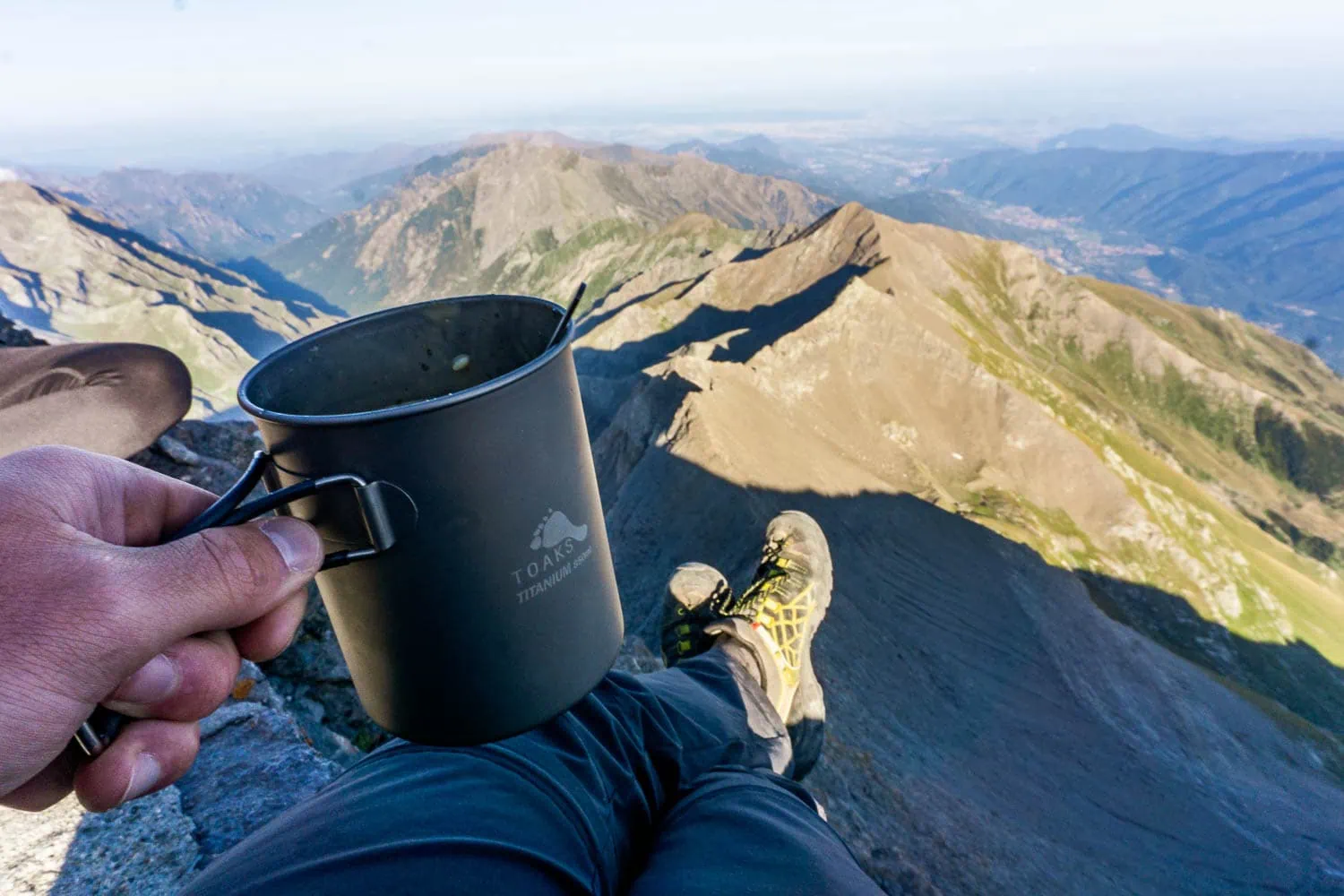
Water is generally not a problem on most routes in the Alps. Springs, streams, and fountains at mountain huts can be found every few kilometres. A water filter (Sawyer Mini, BeFree, or a similar model) will make you even more independent and costs between 30 and 50 euros. In some karst regions, such as parts of the Vienna-Nice Route, the Karwendel, or the Western Dolomites, water is scarcer. In these areas, it’s worth refilling your bottles at every spring, even if you’re not thirsty yet.
When it comes to energy balance: on long, strenuous stages, you lose not only water but also minerals. Electrolyte tablets or a bit of salt in your water make a noticeable difference, especially at temperatures above 25 degrees Celsius or with several thousand metres of elevation gain per day.
Weather, safety and altitude
Mountain weather is unpredictable. What was sunny at breakfast at the hut can be a thunderstorm two hours later at the pass. On long tours, you learn to read the weather: cumulus clouds growing upwards are a warning sign. From midday onwards, the risk of thunderstorms increases significantly in summer. A sensible rule of thumb: tackle difficult passes in the morning, and ideally, they should be behind you by 2 p.m.
What is essential in a backpack can be summarised in one sentence: a waterproof outer layer (jacket and trousers), an insulating mid-layer (fleece or a light down jacket, even in summer), and a hat and gloves for exposed ridges. This is the classic layering principle. Sunglasses and a high-factor sunscreen are not a luxury above 2,500 m, but a medical necessity, because UV radiation increases by about 10 to 12 percent per 1,000 metres of altitude.
Regarding emergencies: The European emergency number 112 works comprehensively in the Alps. Save it on your phone, plus the SOS EU ALP app, which transmits your GPS location directly to the responsible mountain rescue control centre. A first-aid kit with plasters, blister plasters, disinfectant, painkillers, tweezers and a space blanket belongs in every rucksack. A first-aid course is a worthwhile investment before a first long tour.
Altitude sickness is not a major issue on most of the routes presented here, as the tours predominantly stay below 3,000 metres. If you are travelling above 2,500 m for longer periods on routes such as the L1 or parts of the Vienna-Nice route, the following applies: increase your pace slowly, drink plenty of water, and watch out for headaches or dizziness. If clear symptoms occur, descend 200 to 300 vertical metres and sleep before continuing. „Climb high, sleep low“ is the old mountaineer's rule: going higher during the day is fine, but you sleep at a lower altitude.
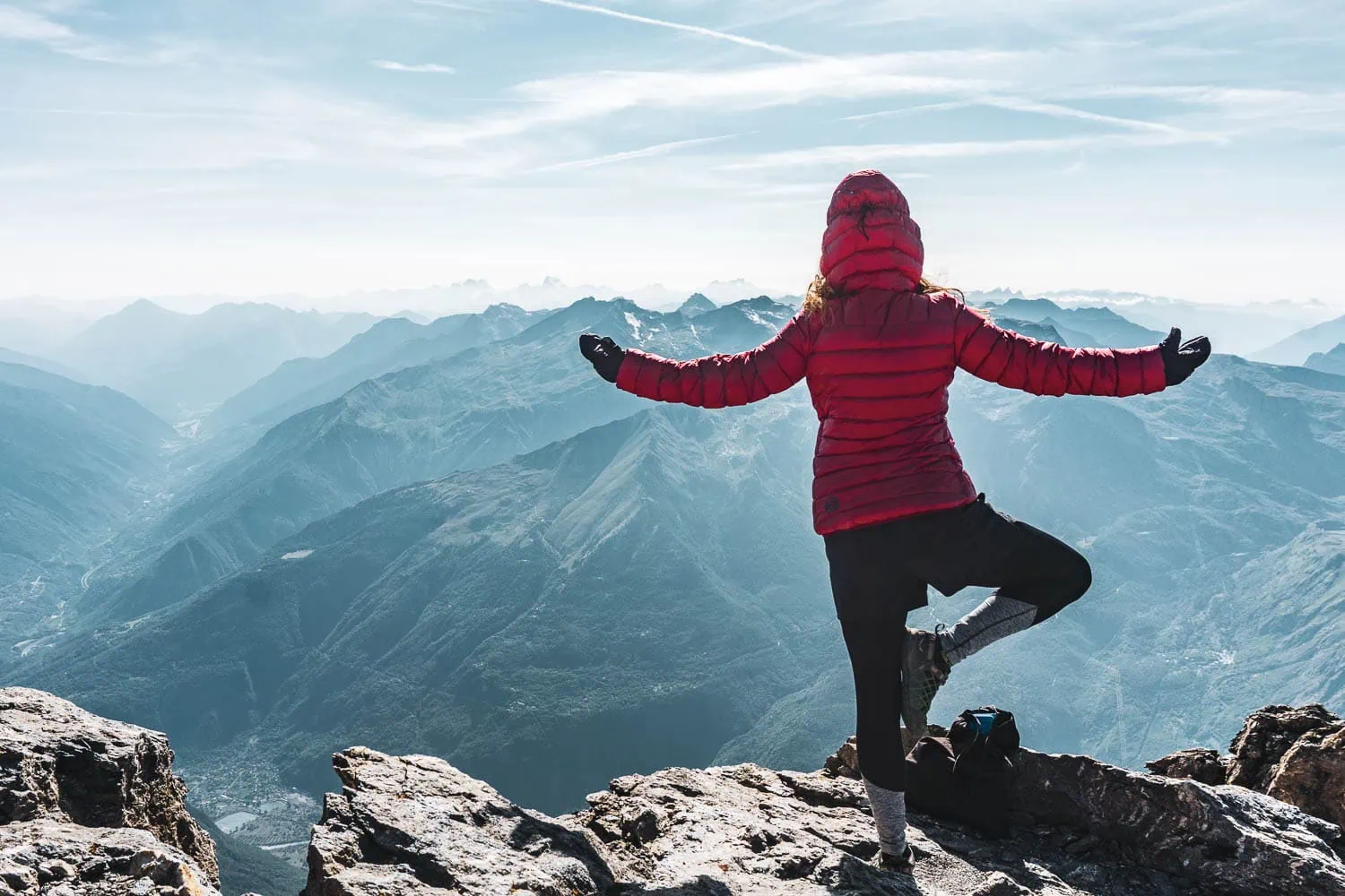
With Respect Through The Mountains
The Alps are a habitat under pressure. What you do on a small scale adds up. Stay on the paths because shortcuts damage vegetation and accelerate erosion. Take your litter with you, including other people's if you find it. Observe animals from a distance, do not feed them, and keep dogs on a lead. Where possible, travel by train rather than by car, which is easily possible on almost all routes presented here. Oberstdorf, Garmisch, Tegernsee, Munich, Salzburg and Vienna are all well-connected by rail, and you can also reach the destinations of Trieste, Venice, Brescia, Nice and Ventimiglia easily by night train or a day trip.
Mentally, the longer tour is different from a weekend hike. On day 1, everything is exciting; on day 8, it becomes routine; on day 15, your head starts asking itself what it's actually doing here. This is normal and part of the experience. What helps with this is realistic stages (don't overexert yourself), enough rest days (three or four on a four-week tour), and abandoning the rigid plan. Sometimes it's better to call it a day two hours earlier and tackle the pass the next day in better spirits than to slog through the rain because that's what the daily plan dictates.
Tips for planning
No matter which route you ultimately choose, a few things apply to almost all Alpine crossings. Here are the five most important planning points from my experience.
Book mountain huts in advance
For E5, Traumpfad and Tegernsee–Sterzing during peak season (July/August), reservations are necessary several months in advance. For lesser-known routes such as GTA, L1 or Salzburg–Trieste, 2–3 days in advance is usually sufficient.
Choosing a realistic seasonality window
For most routes, the window is between the end of June and mid-September. In June, snowfields above 2,500m can still be problematic, while in September, the first frost can be felt at higher altitudes. The GTA and Vienna–Nice have a slightly longer season due to their lower western sections.
Plan with buffer time
Plan realistically and with buffer time. On a 4-week tour, 3–4 full rest days are usually enough to cope with weather changes, minor injuries, or simply exhaustion. Anyone who hasn't planned a single rest day will quickly get stressed.
Consider arrival and departure
Classic point-to-point tours mostly involve public transport. The rail connections to the starting points (Oberstdorf, Tegernsee, Garmisch, Salzburg, Munich, Vienna) are all good. The return journey from Trieste, Venice, Brescia, Nice or Ventimiglia is feasible by night train or a day trip.
Water and filter
In the Alps, water is never really a problem on most routes – springs, streams and wells are everywhere. A good outdoor water filter costs €30–50 and makes you virtually independent of drinking water sources.
Understanding levels of difficulty
The difficulty ratings in the tables follow the SAC hiking scale (Swiss Alpine Club):
- T1 – Hiking wide, well-marked paths, flat terrain
- T2 – Mountain Hiking: Narrower paths, partly steep terrain, good marking
- T3 – Challenging mountain walking: Possible gaps in coverage; occasional use of the hands
- T4 – Alpine Hiking: Sure-footedness and a head for heights are required; simple rock steps
- T5 – Demanding Alpine Hiking high-altitude alpine terrain, easy climbs
Most of the routes here are predominantly in the T2 to T3 range – classic mountain hiking with occasional more demanding.
Frequently Asked Questions
For a first crossing of the Alps, the Tegernsee–Sterzing and E5 Oberstdorf–Meran routes are best suited. Both are shorter (144 and 181 km respectively), well-marked, have good hut infrastructure, and do not require any special alpine experience. However, the E5 is very busy.
This depends heavily on the route. Tegernsee–Sterzing and the E5 can be done in 6 to 8 days. The Munich–Venice Traumpfad takes about 4 weeks. Very long routes like GTA or Vienna–Nice take 2 to 4 months. Always plan 3–4 buffer days for changing weather, minor injuries, or breaks.
For a hut tour, a 45–55 litre rucksack, a sleeping bag liner, waterproof clothing, good hiking boots or trail runners, and the usual toiletries and first-aid kit are sufficient. For camping trips, add a tent, sleeping bag, sleeping mat and stove. For long tours, a consistently lightweight approach is worthwhile – every kilo saved counts after three weeks. A detailed Lightweight packing list You can find the specific weights separately.
The L1 from Garmisch to Brescia and the GTA through Piedmont are the loneliest of the routes presented here. Both move away from the well-trodden tourist paths. Large sections of the Vienna-Nice route also lead through very desolate regions, especially in the western part.
For most of the routes presented here, a mountain guide is not necessary. Those who feel comfortable at T2 level (mountain hiking) and can read maps properly can do almost all of the routes themselves. An exception is the L1 with its glacier crossings – alpine experience is mandatory here. Guided tours are frequently offered on E5 and Traumpfad, but are not essential.