
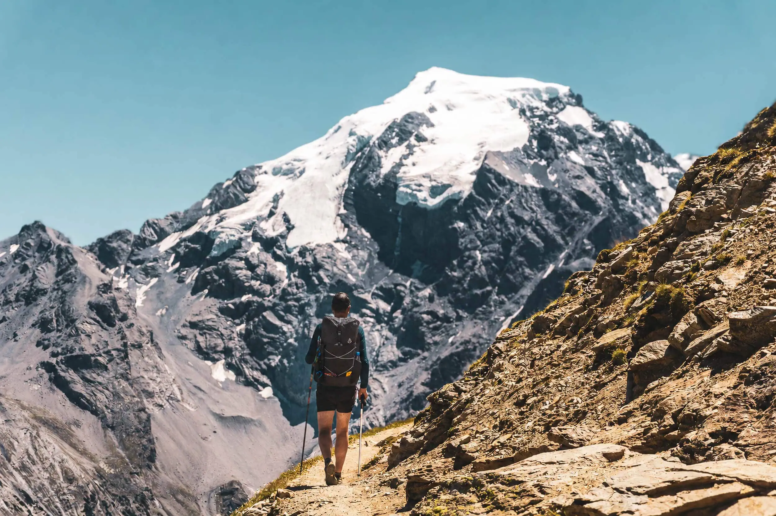
There are long-distance walking routes in Europe to suit every lifestyle: whether it’s a free weekend or a summer that changes everything. In 2014, on the Munich–Venice ‘Traumpfad’, I experienced for the first time what happens when you simply keep walking every morning for weeks on end. Three years later, I walked 1,900 kilometres from Vienna to Nice, 107 days in a row. This experience later gave rise to WeitLäufer. And it is precisely this experience that has inspired this guide: an honest assessment with clear recommendations rather than catalogue-style prose.
Here you'll find 40 long-distance hiking trails across Europe, from compact high-altitude paths to routes that take a lifetime. I've walked a good dozen of them myself, some in their entirety, some in stages; where that's the case, it says so in the profile. The main table sorts all the trails by length, starting with the shortest. The tiles take you straight to the region that interests you. And for each trail, you'll find what you need for your initial decision: length, stages, character, season.
All 40 long-distance walking trails in Europe at a glance
The map shows all 40 routes in their actual course. Click or tap on a route to jump directly to its profile. The two dashed lines (E4 and Vienna-Nice) are rough trajectories.
The table is sorted by length, with the shortest route at the top. Here, too, each name jumps directly to the detailed profile. Kilometre and stage figures are rounded; for routes with several official variants, the most common value is preceded by a tilde.
| Away | Length | Region, stages and character |
|---|---|---|
| Stubaier Höhenweg | ~80 km | Austria, 8 stages. Alpine hut-to-hut tour, not a beginner's route. |
| Harz Witches' Trail | ~95 km | Germany, 5 stages. Across the Brocken, doable all year round. |
| Painter's Way | ~112 km | Germany, 8 stages. Elbe Sandstone Mountains, ideal for beginners. |
| Alta Via 1 Dolomites | ~120 km | Italy, 8 to 11 stages. Classic Dolomites hut-to-hut tour. |
| Höga Kustenleden | ~130 km | Sweden, 13 short stages. Baltic Sea steep coast, shelter network. |
| Wicklow Way | ~130 km | Ireland, 6 to 8 stages. Gentle mountains south of Dublin. |
| GR 221 Dry Stone Route | ~140 km | Majorca, 8 stages. Tramuntana, best time spring and autumn. |
| E5 Oberstdorf-Meran | ~150 km | Germany, Austria, Italy, 6 to 8 stages. The most popular crossing of the Alps. |
| West Highland Way | ~154 km | Scotland, 6 to 8 stages. Classic Highlands, technically easy. |
| Rothaarsteig | ~154 km | Germany, 8 stages. Ridge walk in the Sauerland. |
| Rennsteig | 170 km | Germany, 6 stages. The oldest German long-distance hiking trail. |
| Tour du Mont Blanc | 170 km | France, Italy, Switzerland, 7 to 11 stages. Tour of the Mont Blanc massif. |
| Querweg Freiburg to Lake Constance | ~180 km | Germany, 7 to 9 stages. Featuring the Wutach Gorge, suitable for beginners. |
| GR 20 | ~180 km | Corsica, 16 stages. Europe's hardest long-distance hiking trail. |
| Kerry Way | ~214 km | Ireland, 9 stages. Great tour around the Iveragh Peninsula. |
| Black Forest Middle Way | ~230 km | Germany, 9 to 12 stages. Calm north-south route, beginner-friendly. |
| Ostweg | ~240 km | Germany, 12 stages. Eastern edge of the Black Forest to Schaffhausen. |
| Portuguese Way | ~240 km | Portugal, Spain, 10 to 12 stages. Pilgrimage route from Porto. |
| Westweg | ~285 km | Germany, 13 stages. The Black Forest classic, our home trail. |
| Eifelsteig | ~313 km | Germany, 15 stages. Volcanic Eifel and crater lakes, Aachen to Trier. |
| Rheinsteig | ~320 km | Germany, ~23 stages. Castles and vineyards, Bonn to Wiesbaden. |
| Albsteig (HW1) | ~360 km | Germany, ~16 stages. Along the Albtrauf, sweeping views. |
| Moselsteig | ~365 km | Germany, 24 stages. River hiking amongst vineyards. |
| Alta Via dei Monti Liguri | ~410 km | Italy, ~28 stages. High-level trail with Mediterranean views, remote. |
| Eagle Way | ~413 km | Austria, 33 stages. Tyrol's great long-distance hiking trail. |
| Franconian Mountain Trail | ~430 km | Germany, ~21 stages. Four low mountain ranges in one trail. |
| Pennine Way | ~430 km | England, 16 to 19 stages. Rugged, moorland, navigation-intensive. |
| King's Trail | ~440 km | Sweden, 4 sections. Arctic expanse with a network of cabins. |
| Way of St Francis | ~550 km | Italy, ~30 stages. Pilgrimage route through Tuscany and Umbria. |
| Munich to Venice Dream Way | ~555 km | Germany, Austria, Italy, 28 to 30 stages. The great Alpine crossing. |
| St. Olav's Way | ~640 km | Norway, ~30 stages. Pilgrimage route from Oslo to Trondheim. |
| Alpe-Adria-Trail | ~750 km | Austria, Slovenia, Italy, 43 stages. From glacier to sea. |
| Camino Francés | ~780 km | Spain, 30 to 35 stages. The most famous pilgrimage route in the world. |
| Northern Way | ~825 km | Spain, ~35 stages. Coastal Camino, quieter and more demanding. |
| GR 10 | ~870 km | France, 45 to 60 stages. Pyrenees from the Atlantic to the Mediterranean. |
| The Great Alpine Crossing | ~1,000 km | Italy, ~65 stages. Remote Western Alps to the Mediterranean. |
| Wales Coast Path | ~1,400 km | Wales, fully customisable. The entire Welsh coastline. |
| Vienna to Nice Alpine Crossing | ~1,900 km | Austria, Italy, France, ~107 days. No official route, but the great longitudinal crossing of the Alps. |
| Via Alpina, Red Trail | ~2,600 km | 8 Alpine countries, 161 stages. The entire Alpine arc. |
| European long-distance path E4 | ~10,450 km | 12 countries, from Portugal to Cyprus. The longest path in Europe. |
Which long-distance hiking trail suits you?
The most honest multiple-choice question: how much time do you really have, where do you want to sleep, and in what season are you travelling? These three questions sort the list faster than any ranking. With one week of time, you end up with trails of up to roughly 180 kilometres. With two to three weeks, the mid-range opens up, from the Westweg to the Kungsleden. Anything beyond that is life planning, not a holiday.
The second question determines your rucksack: On hut and guesthouse routes such as the Stubai High Trail, the Westweg or the Camino, you don't need a sleep system and can get by with a surprisingly small volume. On self-sufficient routes such as the Kungsleden or the GR 20 with a tent, the rucksack becomes a discipline in its own right. On all my long-distance hikes, a total weight of 8 to 10 kilos including food and water has proven to be the range where hiking remains a pleasure and doesn't become work.
Long-distance hiking trails in Germany
Germany is Europe's densest long-distance hiking country: marked trails in every upland region, stage locations with rail connections, and accommodation ranging from campsites to guesthouses. Perfect for beginners and underratingly good for returning. The 13 most important trails, from the Harz to the Black Forest, which is our home.
Harz Witches' Trail
~95 km · 5 stages · low mountain range · year-round
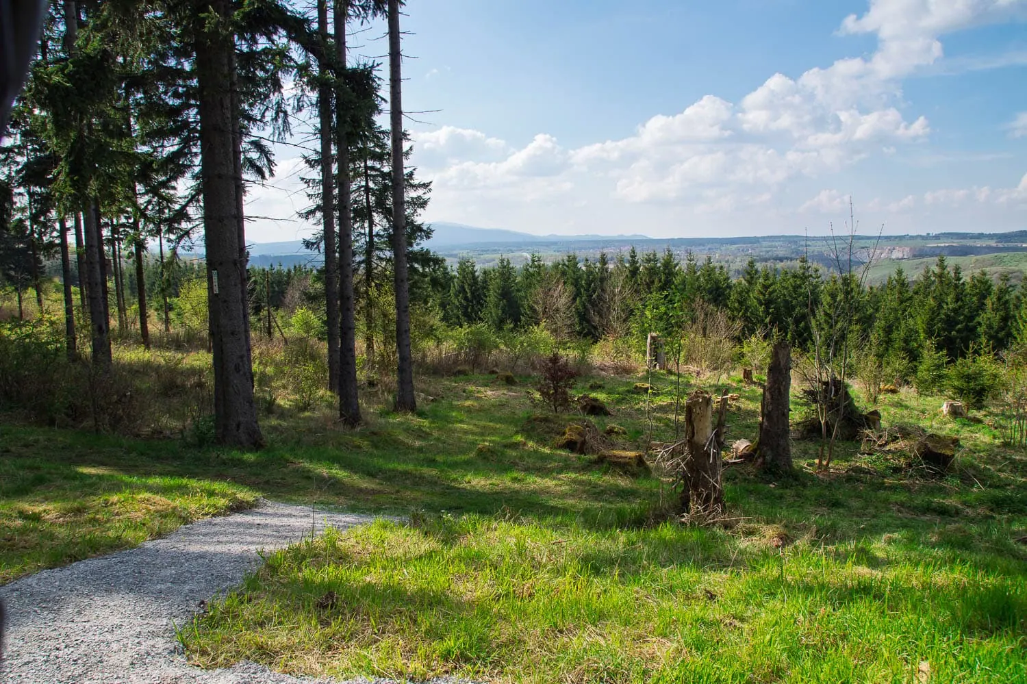
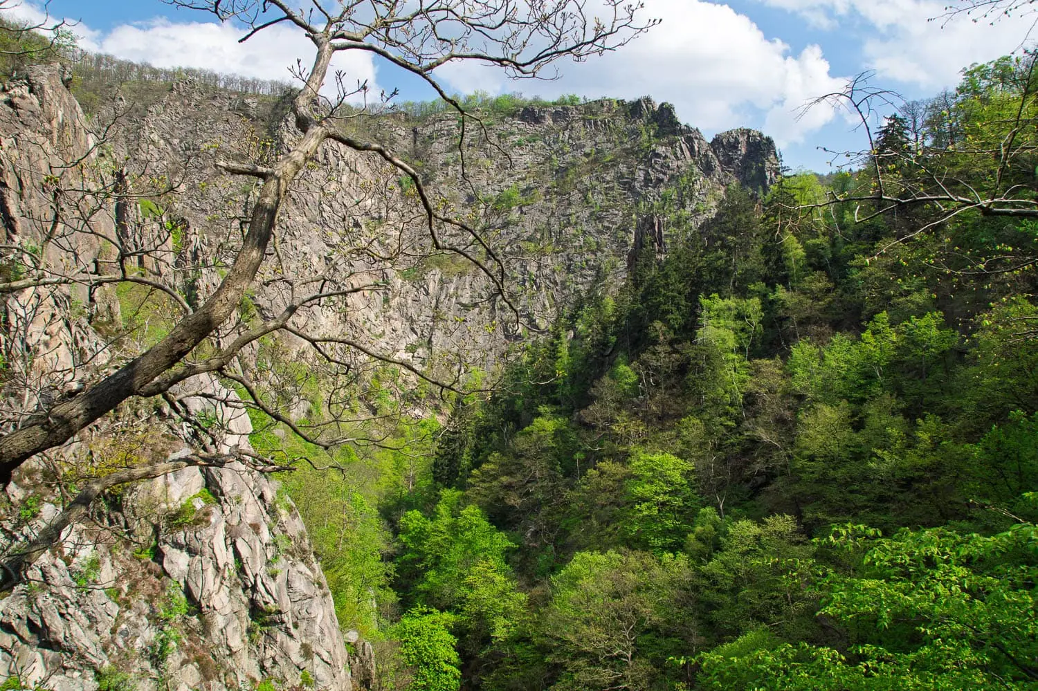
From Osterode to Thale right across the Harz, with the Brocken (1,141 m) as the culminating point and the Bode Valley as a dramatic finale. I walked the Hexenstieg at Easter 2014 in four days instead of five with a tent, including snow fall while pitching the tent in the evening and 19 kilos on my back. It was the trip after which I started systematically saving weight. An ideal first long-distance trail that can also be squeezed into a long weekend.
Painter's Way
~112 km · 8 stages · low mountain range, rocky · year-round
The tour through the Elbe Sandstone Mountains, where Caspar David Friedrich once found his motifs. Rock spires, gorges, ladders: scenically more spectacular than the moderate difficulty suggests. Short stages and close transport links make it perhaps the best beginner long-distance hiking trail in Germany.
Rothaarsteig
~154 km · 8 stages · ridge trail · spring to autumn
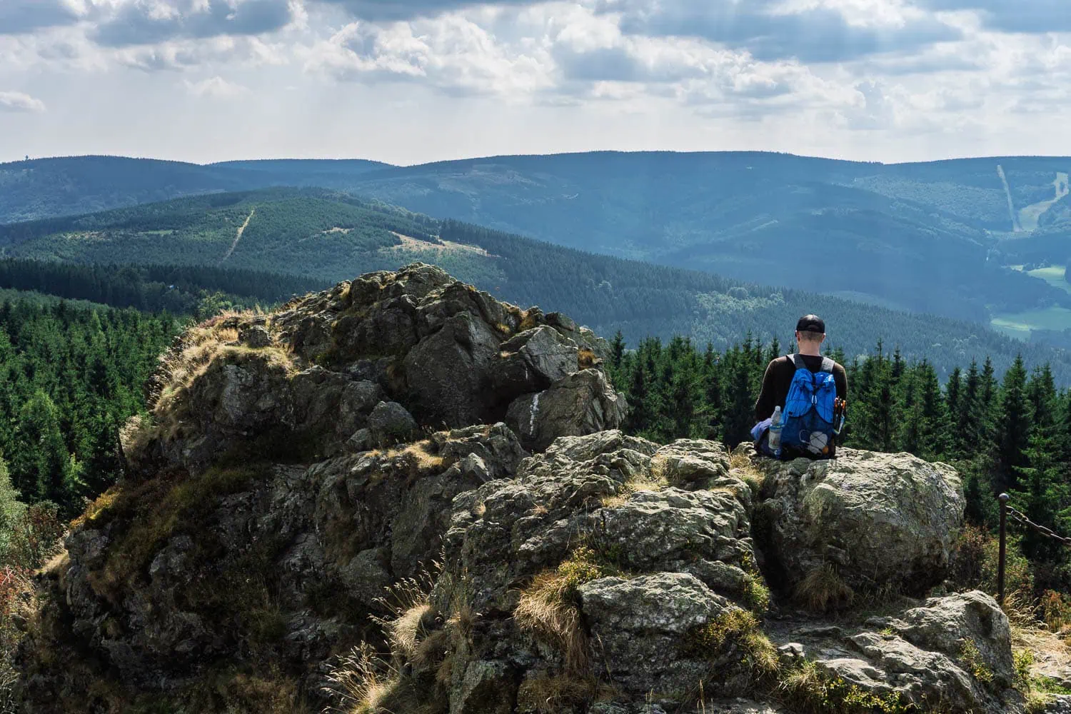
The „Path of the Senses“ follows the main ridge of the Rothaar Mountains from Brilon to Dillenburg, past the Bruchhauser Steinen and over the Langenberg, the highest elevation in North Rhine-Westphalia. In September 2016, I hiked two stages from Olsberg to Winterberg and would have loved to carry on: lots of ridge walking, plenty of forest, and a solid infrastructure of country pubs.
Rennsteig
~170 km · 6 stages · ridge trail · year-round
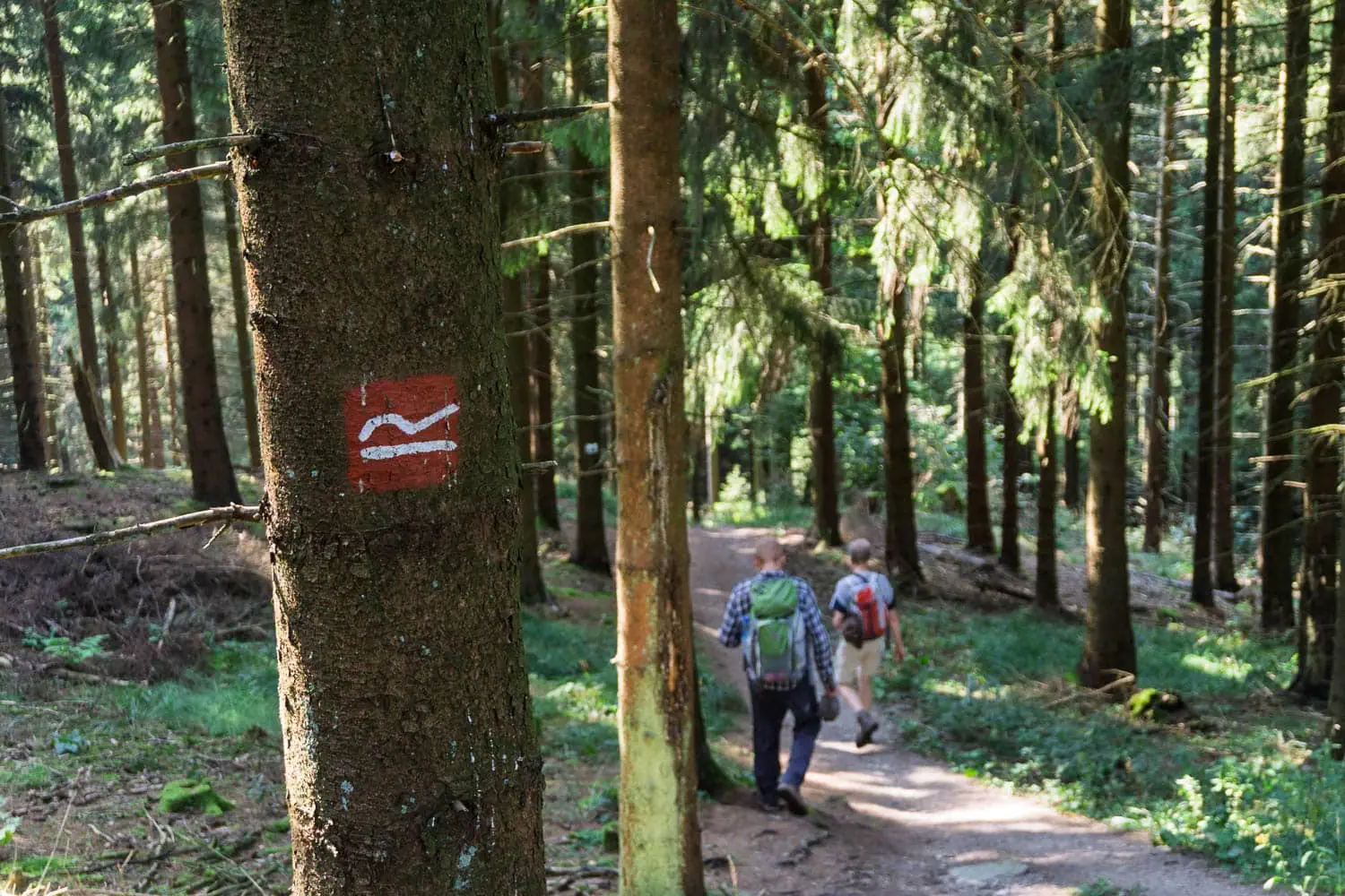
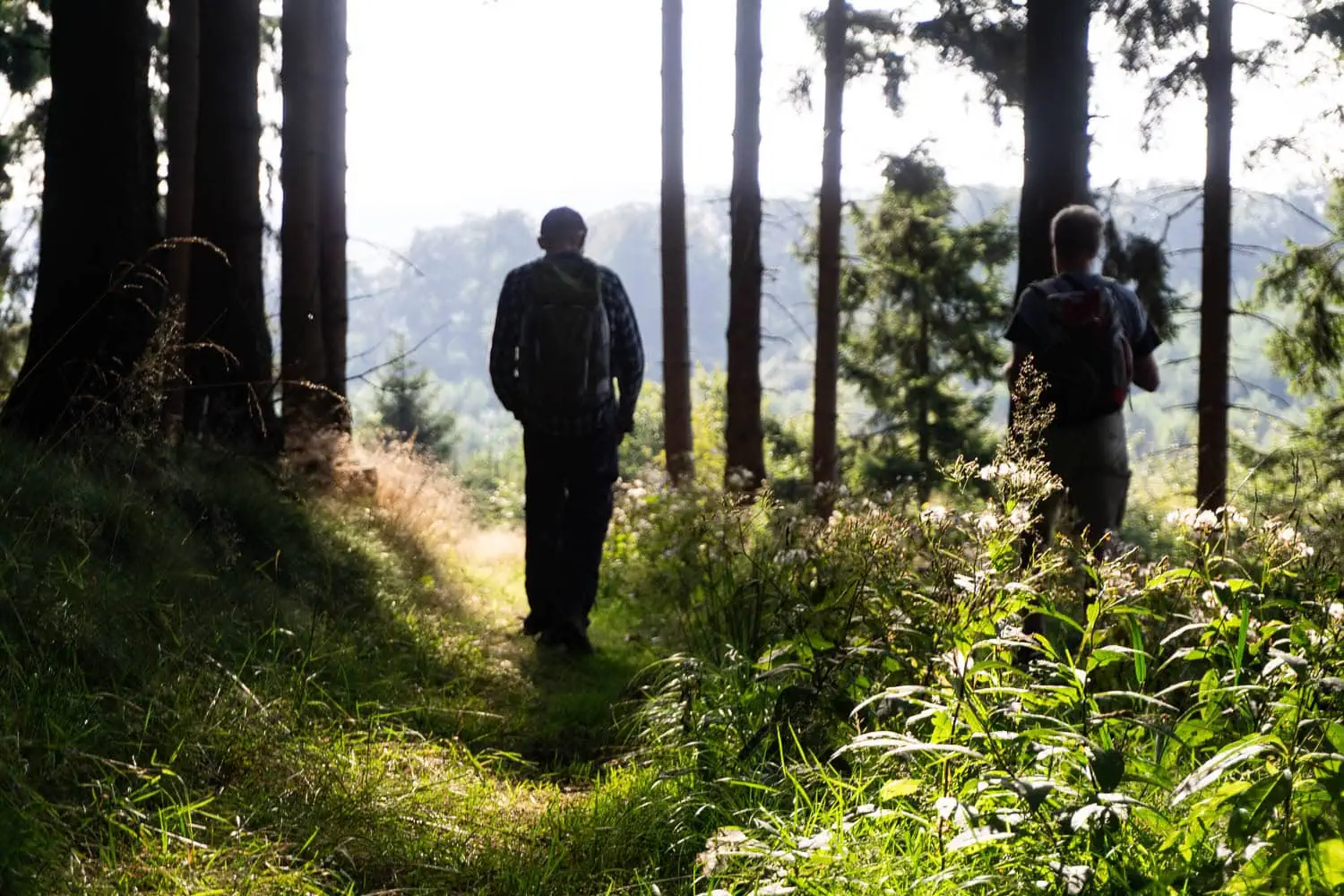
Germany's oldest and most frequented long-distance hiking trail, documented since the Middle Ages: from Eisenach over the ridge of the Thuringian Forest to Blankenstein. If you want to feel long-distance hiking history beneath your soles, this is where you start. The stages are long, but technically straightforward.
Querweg Freiburg to Lake Constance
~180 km · 7 to 9 stages · low mountain range · spring to autumn
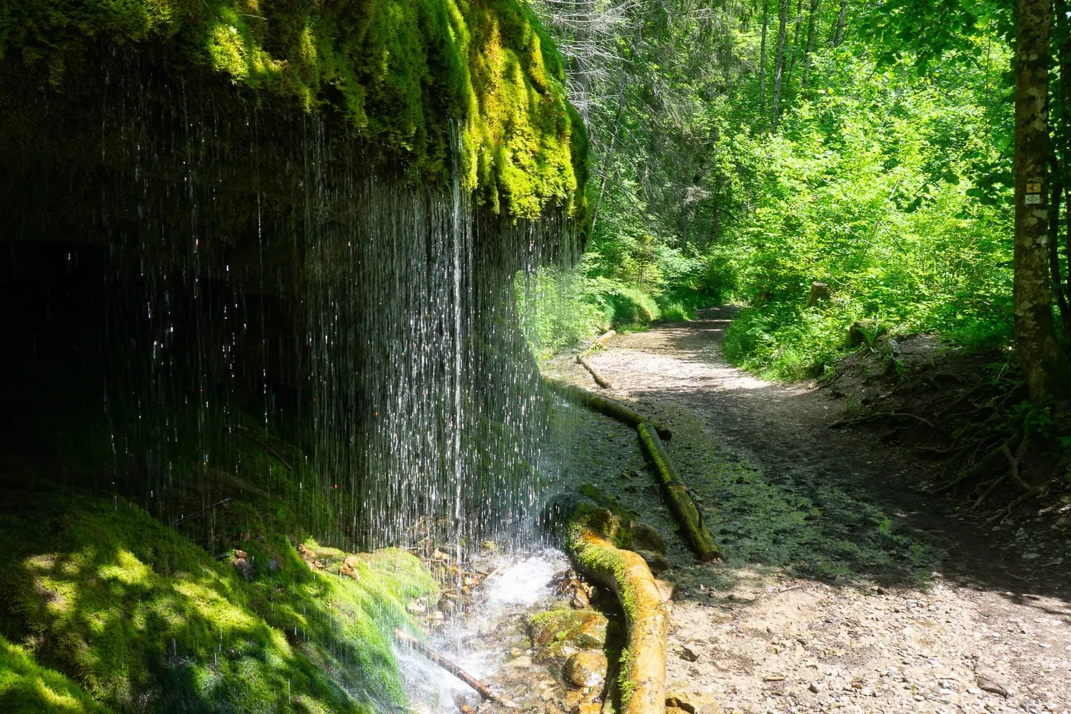
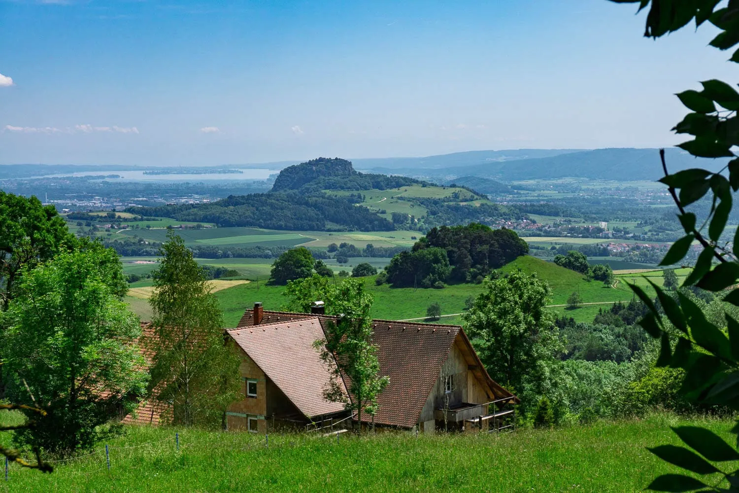
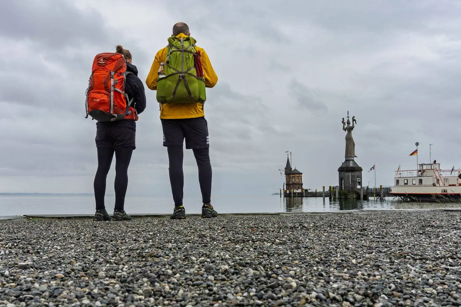
From Freiburg through the High Black Forest and across the Baar to Lake Constance at Constance, with the Wutach Gorge as a wild highlight. I walked the cross-trail completely in June 2016, over nine days, and didn't meet a single other long-distance hiker along the way. A trail right on our doorstep for us in Emmendingen, and one of the most underrated in Baden-Württemberg.
Black Forest Middle Way
~230 km · 9 to 12 stages · low mountain range · spring to autumn
The middle of the three classic north-south routes through the Black Forest, from Pforzheim to Waldshut. Quieter than the Westweg, without its dramatic changes in altitude, but with plenty of peaceful woodland. A good choice if you want the Black Forest without the Westweg crowds.
Ostweg
~240 km · 12 stages · low mountain range · spring to autumn
The eastern edge of the Black Forest from Pforzheim to Schaffhausen is the gentlest of the three longitudinal Black Forest trails, reaching a maximum height of just over 900 metres. Little trodden, wonderfully peaceful, and with the Rhine Falls waiting at the end. Underrated in the best possible way.
Westweg
~285 km · 13 stages · uplands, with many ascents · spring to autumn
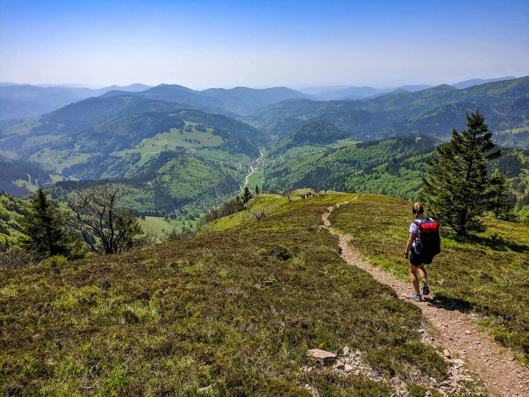
Pforzheim to Basel via Hornisgrinde, Feldberg and Belchen: the classic among German long-distance hiking trails and our home trail. We have been testing prototypes on Westweg stages for years because everything a backpack needs to be able to handle occurs here: long ascents, rain fronts, hut stages. Everything about stages, accommodation and planning is in our comprehensive Westweg Guide.
Eifelsteig
~313 km · 15 stages · low mountain range, volcanic · spring to autumn
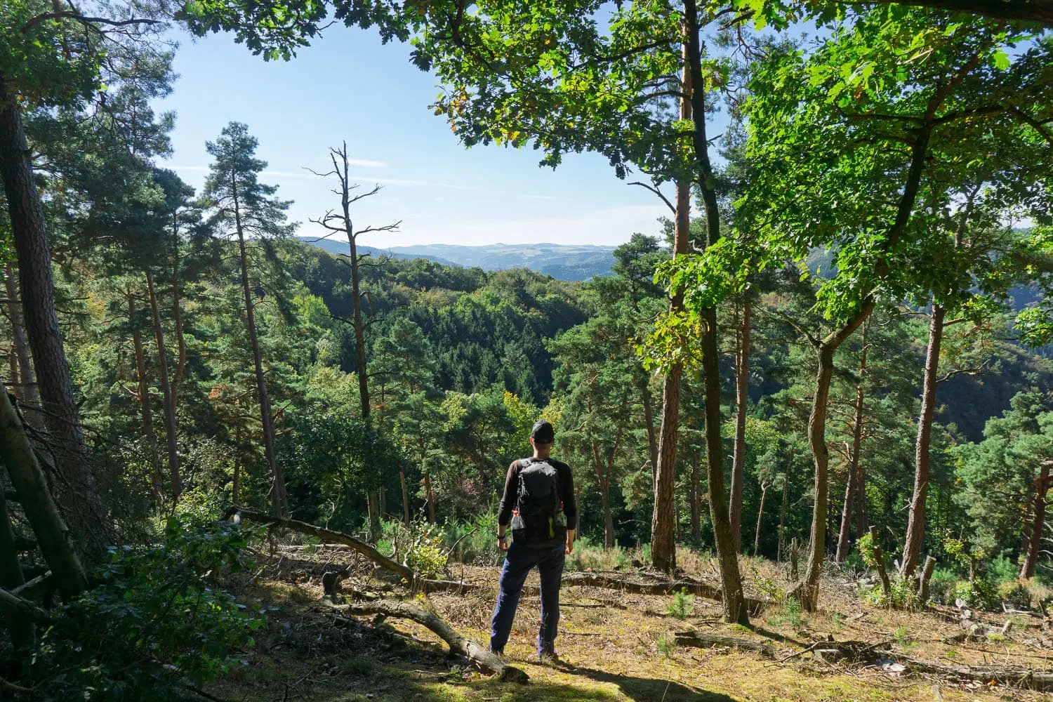
From Aachen to Trier through a landscape that is truly unique in Germany: raised bog in the High Fens, volcanic cones, dark crater lakes. The stages are moderate, the scenery changes character almost daily.
Rheinsteig
~320 km · ~23 stages · low mountain range, many short climbs · all-year-round
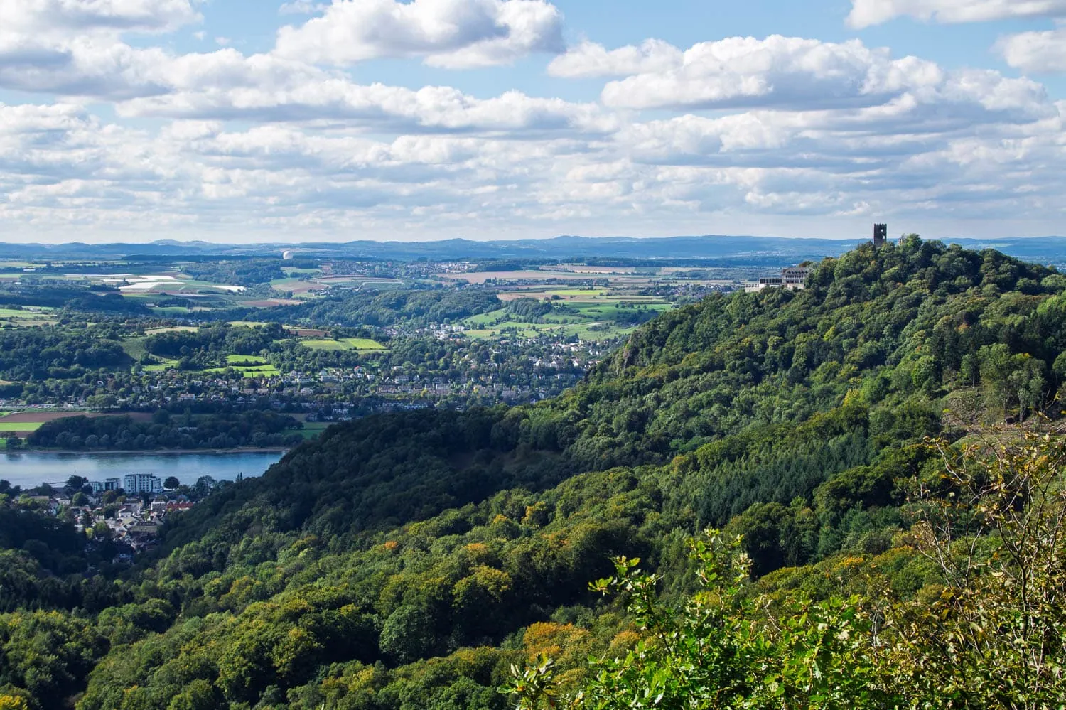
On the right bank of the Rhine from Bonn to Wiesbaden, through the Siebengebirge, the Middle Rhine Valley and the Rheingau. Castles, vineyards, constant ups and downs: the many short, steep climbs add up to a surprising amount of elevation gain. I walked the Siebengebirge section myself: alone in the cool forest in the morning, amidst the stream of tourists at the Drachenfels by midday, that is the Rheinsteig in a single stage. Thanks to the rail links, it is ideal for walking in sections.
Albsteig (HW1)
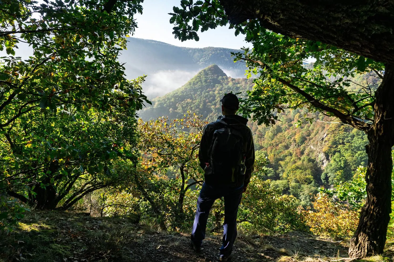
~360 km · ~16 stages · low mountain range, escarpment · spring to autumn
Main hiking trail 1 of the Swabian Alb Association follows the escarpment of the Swabian Alb from Donauwörth to Tuttlingen. Again and again, the view plunges hundreds of years—[wait, 'Jahre' is not there, 'Meter' is]—hundreds of metres over the edge into the Alb foreland. A trail for view collectors with good stamina.
Moselsteig
~365 km · 24 stages · river hiking trail · year-round
From Perl on the French border to Koblenz, always following the curves of the Moselle. Steep vineyard paths alternate with high-level trails and riverside stretches. So far I only know the stage from Bullay to Reil, but that was enough to realise: April, when everything is in bloom and the paths are empty, is the best month for hiking on the Moselle. Culinarily anyway the most rewarding German long-distance trail.
Franconian Mountain Trail
~430 km · ~21 stages · low mountain range · spring to autumn
Frankenwald, Fichtelgebirge, Franconian Switzerland and Hersbrucker Alb on a single trail. Technically never difficult, but long and pleasantly uncrowded. Thanks to train and bus connections at many stage locations, it can easily be walked in sections.
Long-distance hiking trails in the Alps
The Alps are the place of longing for European long-distance hiking, and this is also where my own most formative kilometres lie. From the one-week hut circuit to traversing the entire Alpine arc, everything is on offer. Important for all alpine routes: the season window is short, usually from late June to early October, and you have to book hut spaces early on the classics.
Stubai High Trail (Austria)
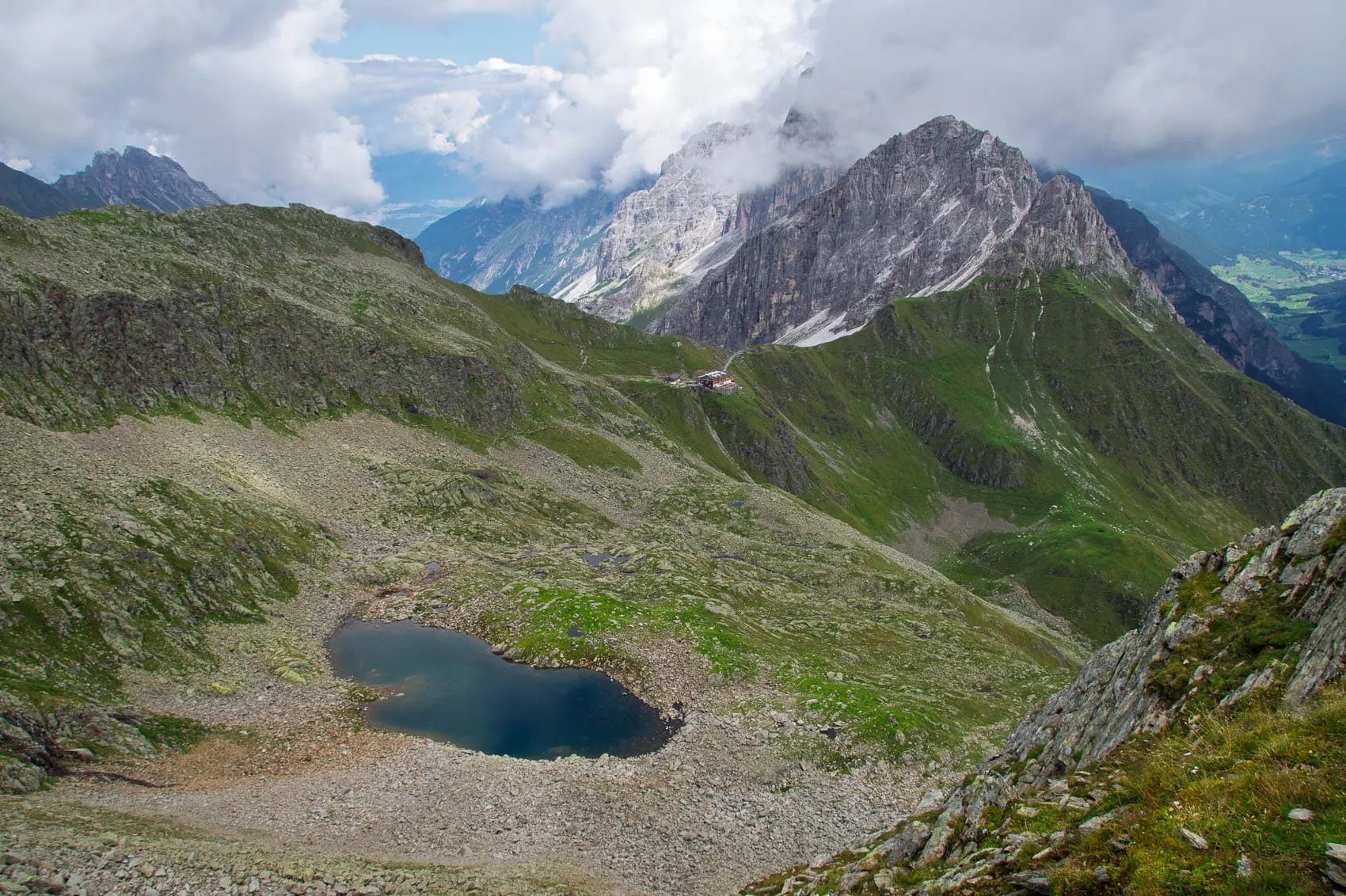
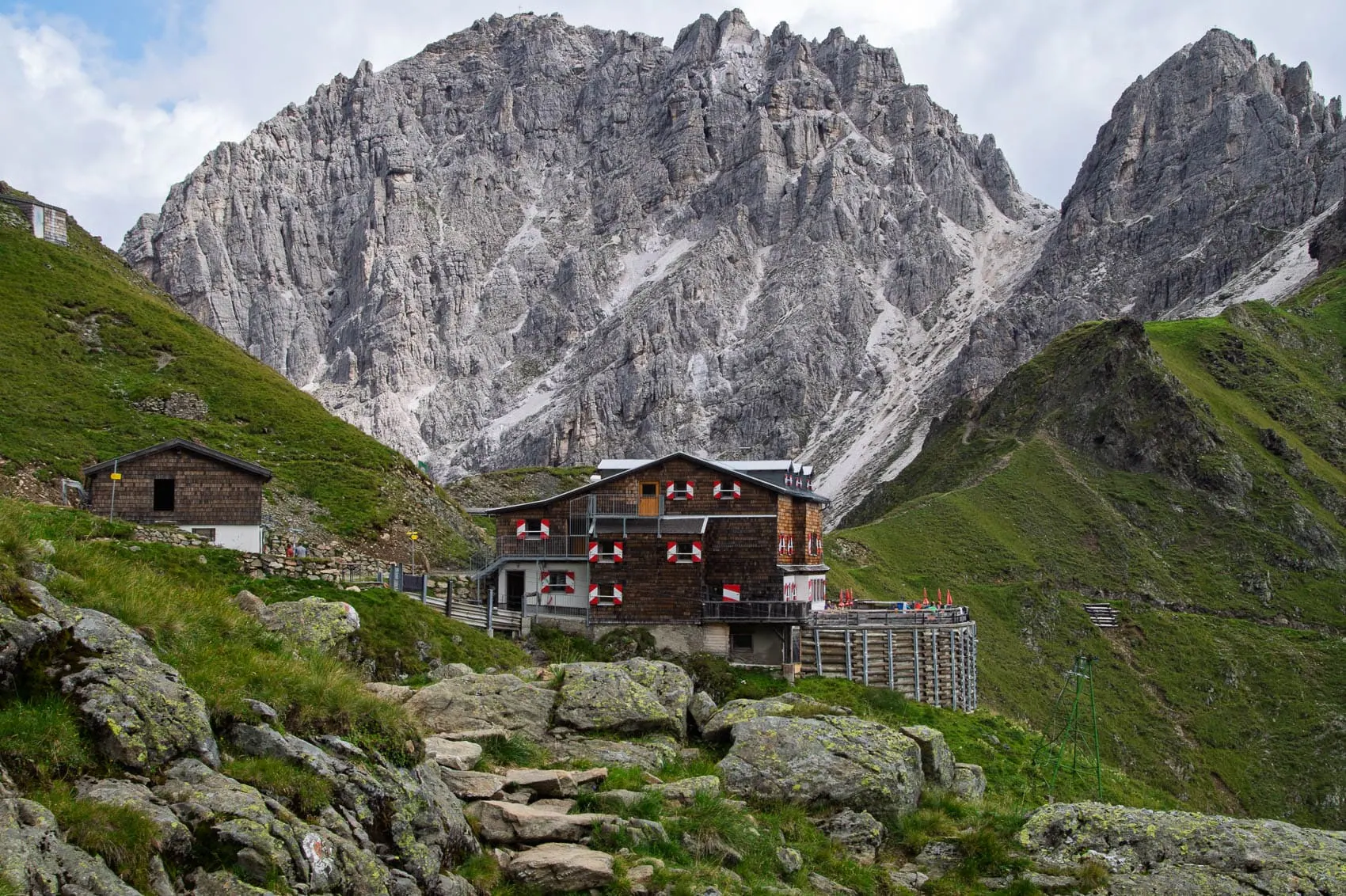
~80 km · 8 stages · alpine, hut-to-hut route · July to September
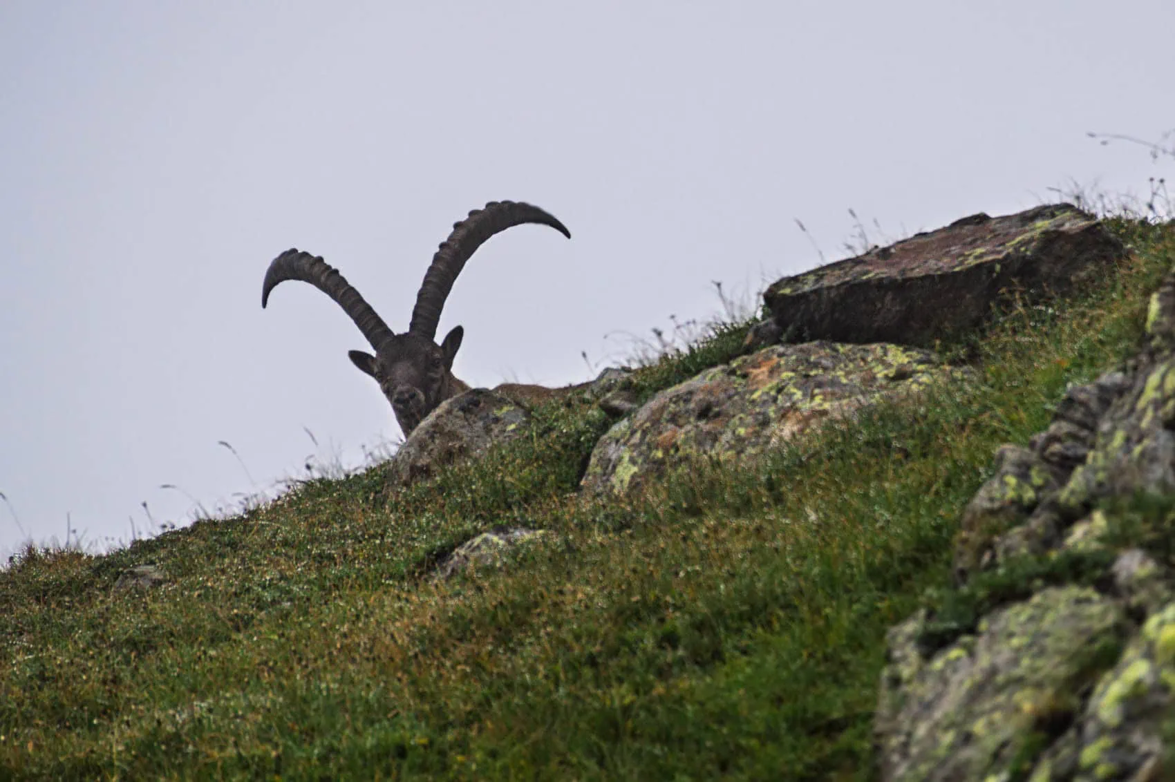
The hut circuit high above the Stubai Valley is the shortest route on this list, yet it’s still a proper long-distance hike: eight alpine stages, exposed sections, boulder fields and snowfields that last well into the summer. I walked the circuit myself in 2015, long before the first WeitLäufer was sewn, and it remains my top recommendation for a first multi-day alpine trek to this day. As you’re hiking without a tent or sleeping bag, your rucksack stays wonderfully light. We’ve covered all the stages, huts and the question of the order in the Stubai High Trail Guide Written down.
E5 Oberstdorf-Meran
~150 km · 6 to 8 stages · alpine, mountain huts · late June to September
The most famous section of the European long-distance hiking trail E5 and the most popular alpine crossing of all: from Oberstdorf via the Pitztal to Merano. The mountain huts are correspondingly crowded in midsummer. Our comparison shows how the E5 fares against nine other crossings Crossing the Alps on foot: 10 routes compared.
Tour du Mont Blanc (France, Italy, Switzerland)
~170 km · 7 to 11 stages · alpine, circular · late June to September
Once around the highest massif in the Alps, through three countries, with around 10,000 metres of elevation gain. The TMB is world-famous for good reason and correspondingly well-visited, but the logistics are straightforward: mountain huts, alpine villages, cable car shortcuts. Stages, costs and the question of direction are clarified by our Mont Blanc Tour Guide.
Eagle Walk (Austria)
~413 km · 33 stages · alpine to high alpine · July to September
Tyrol's major long-distance hiking trail winds through the entire region in 33 stages from St. Johann to St. Anton am Arlberg, with an additional nine stages in East Tyrol.[2] From grassy paths to the wire-rope secured Karwendel passage, it has it all, and thanks to stage entry points by bus and train, it can easily be tackled in weekly chunks. For anyone looking for long-distance hiking trails in Austria, it is the top choice.
Munich to Venice Dream Way
~555 km · 28 to 30 stages · alpine, long · late June to September
From Marienplatz to Piazza San Marco: the Pre-Alps, Karwendel, Tux Alps, Dolomites and finally the flat Veneto region. This is where my own long-distance hiking began: in 2014 I walked from Munich to Venice in 34 days, and to this day I consider the Dream Way to be the finest way to truly comprehend the Alps. Even so, it is regularly underestimated: long stages, genuine alpine sections, variable logistics. Everything you need to know is in our Munich-Venice Guide.

Alpe-Adria Trail (Austria, Slovenia, Italy)
~750 km · 43 stages · Mountain hiking, moderate · May to October
From the foot of the Großglockner through Carinthia and Slovenia to the sea at Muggia near Trieste. Deliberately designed as „light hiking“: moderate stages, luggage transfer available, plenty of enjoyment. Anyone wanting the great southern traverse without high-alpine risk is in the right place here.
Great Traversata of the Alps (Italy)
~1,000 km · ~65 stages · alpine, remote · July to September
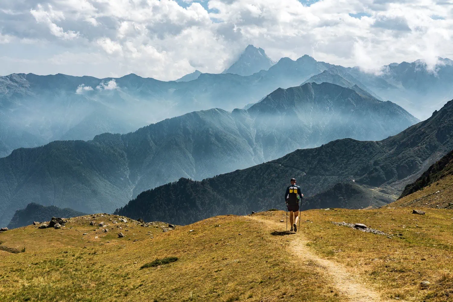
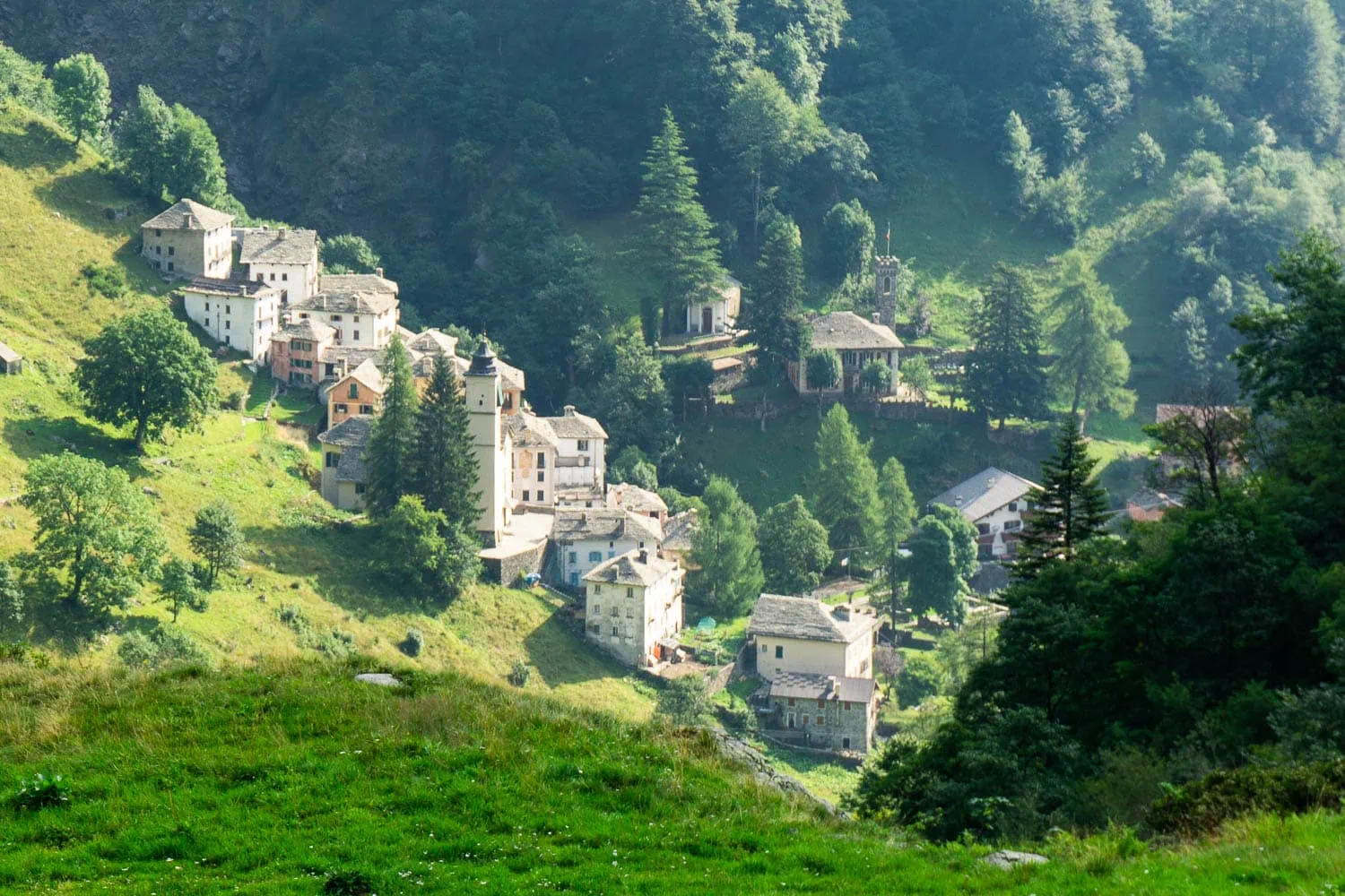
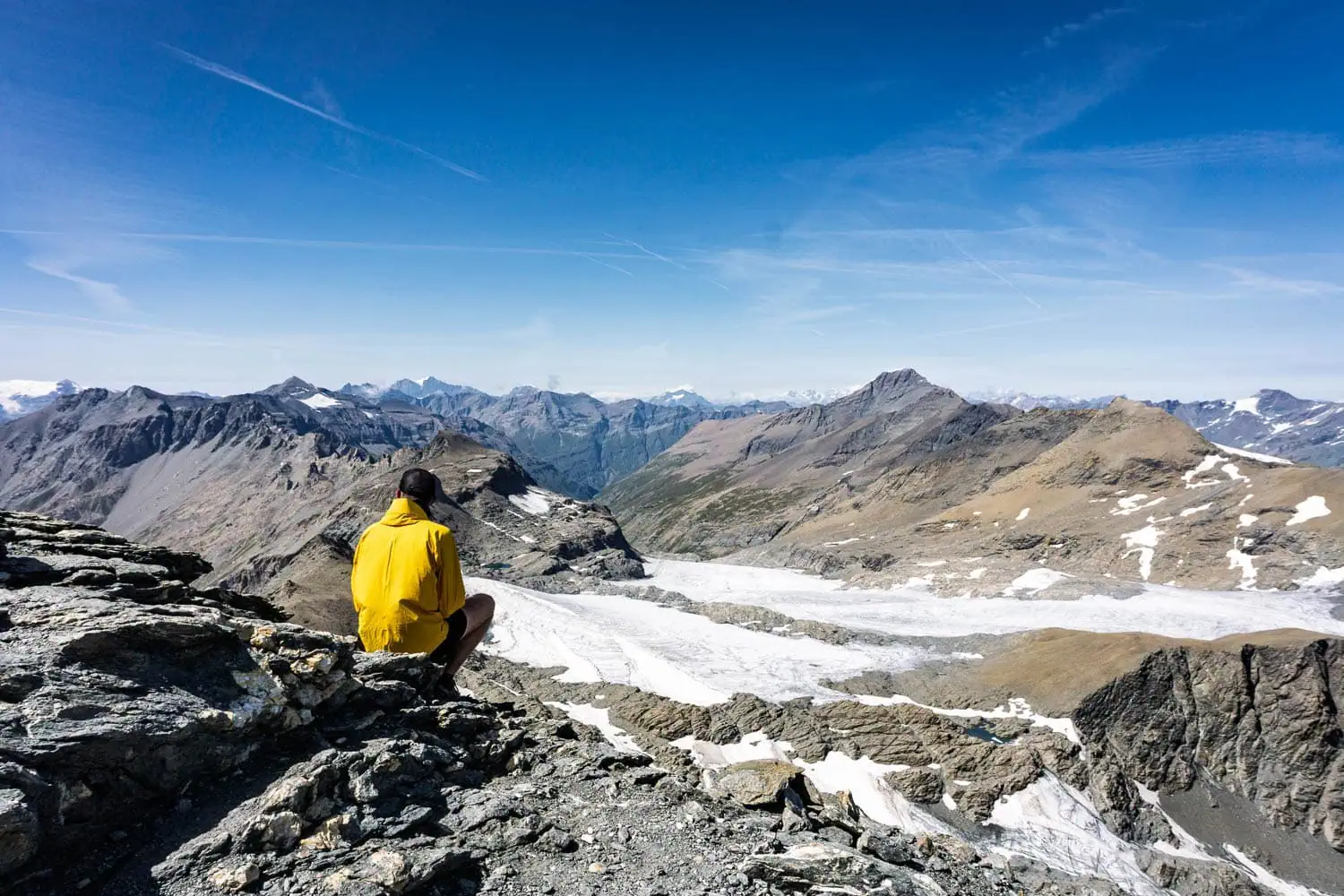
The GTA winds its way through the Western Italian Alps from the Swiss border to almost the Mediterranean, through valleys where you can walk for days without meeting almost anyone. You stay overnight in simple posti tappa in semi-abandoned mountain villages, and the food there is often better than in any mountain hut restaurant. On my Alpine crossing from Vienna to Nice in 2017, the GTA was the final section, and I walked it for about four weeks. The paradox of these lonely mountains: I met more long-distance hikers there than in all other Alpine regions combined, simply because the only people out and about here are those with the exact same plan.
Vienna to Nice Alpine crossing (custom route)
~1,900 km · ~107 days · alpine, self-planned · a whole summer
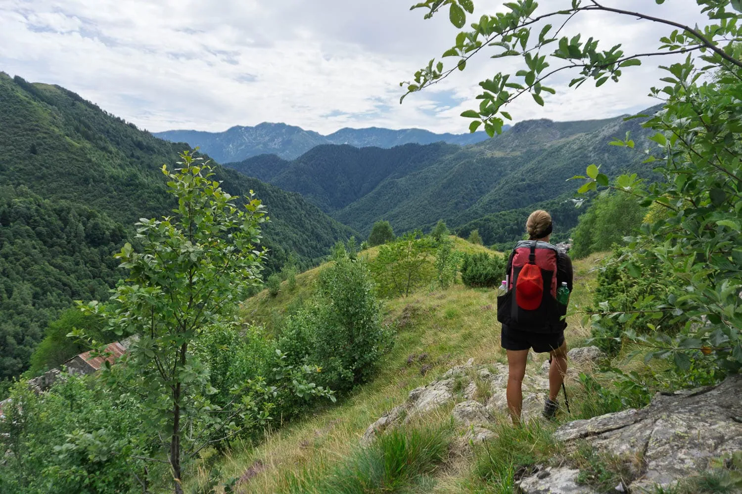
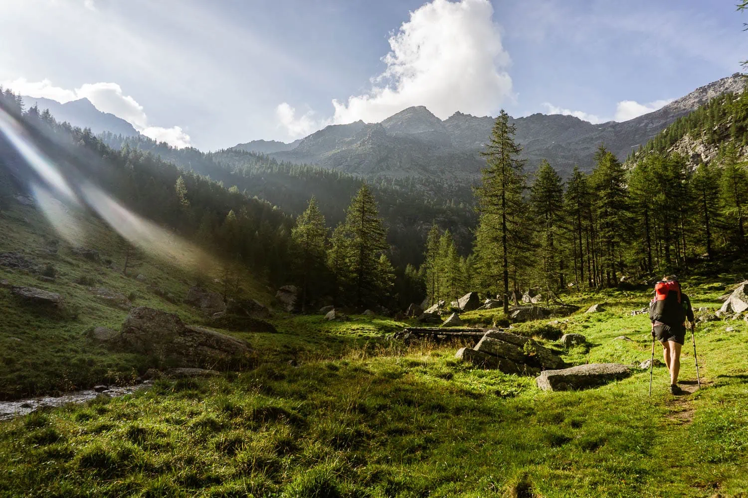
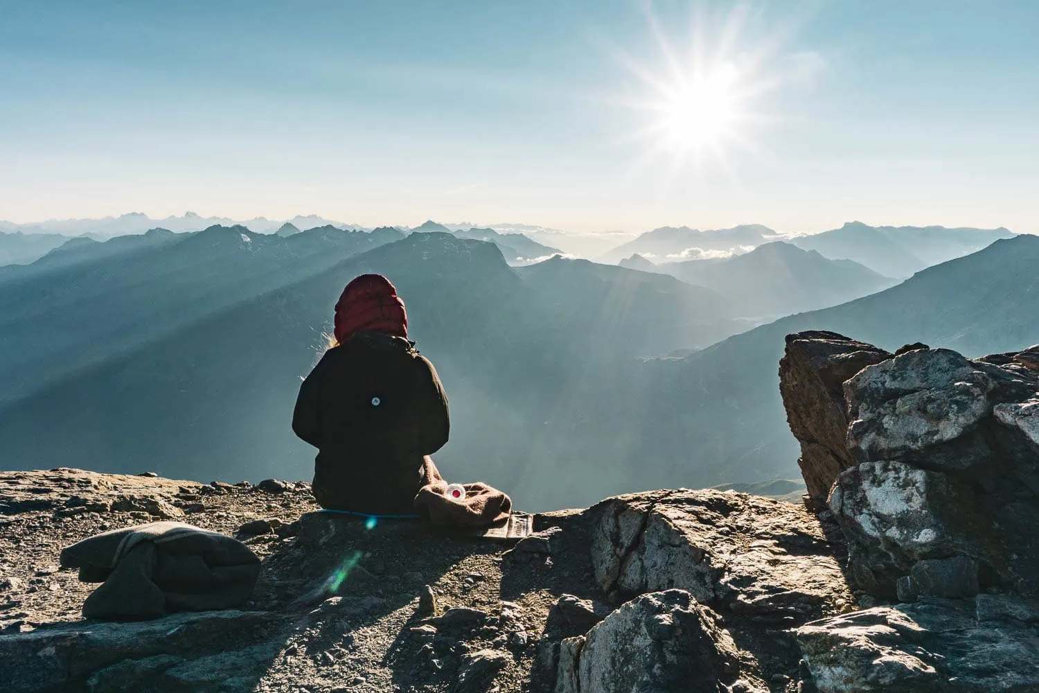
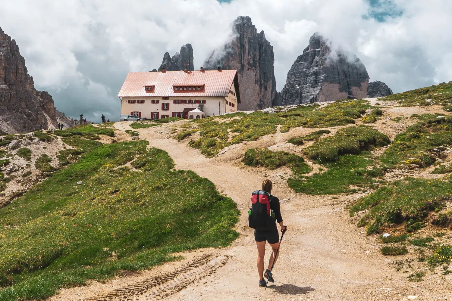
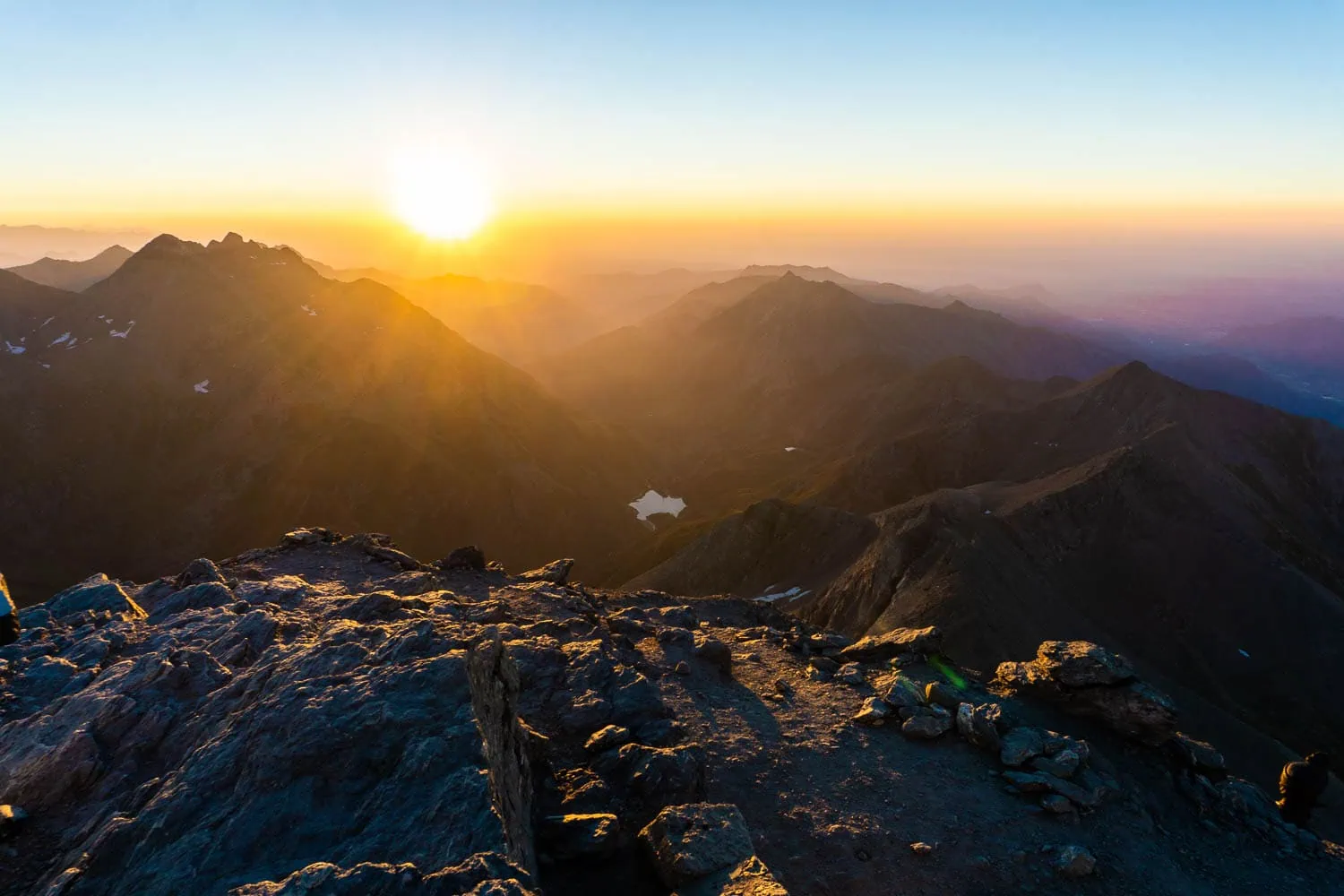
Let’s get the most honest information out of the way first: Vienna–Nice is not a signposted long-distance hiking route, but rather a major north-south crossing of the Alps that everyone puts together for themselves using existing paths. In 2017, my route took me along the Nordalpenweg and the Salzsteigweg, the Karnischer Höhenweg, straight through the Dolomites and via the Meraner Höhenweg into the Western Alps to the GTA, finally descending to the sea along the GR 5. 1,900 kilometres in 107 days, travelling as a pair with my girlfriend. It was the trip that gave rise to WeitLäufer, and the reason why weight is mentioned so often in this list: over a four-month trek, not a single unnecessary kilo is forgiven.
Via Alpina, Red Trail (8 countries)
~2,600 km · 161 stages · alpine, multi-year · June to October
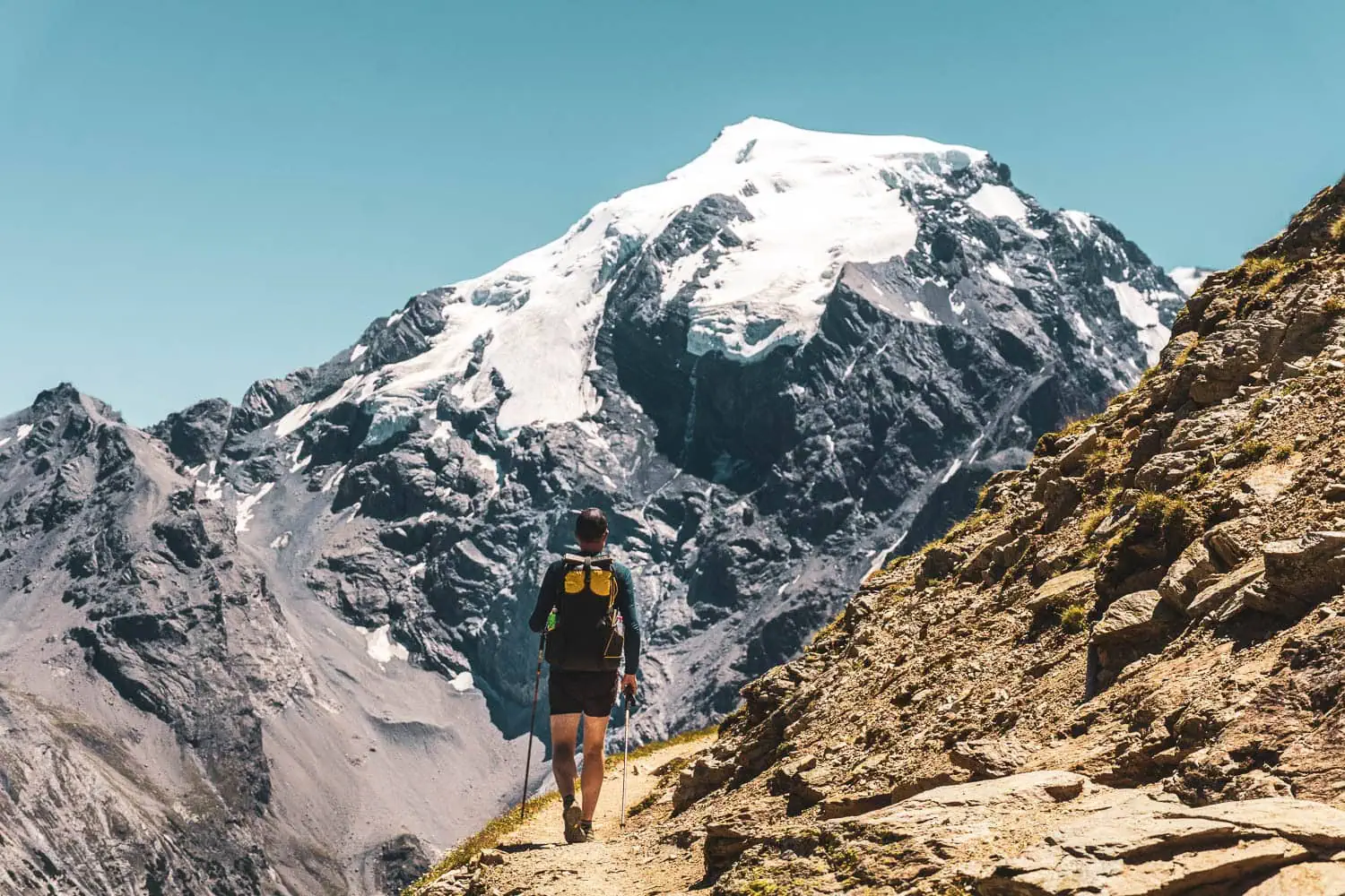
From Trieste to Monaco through all eight Alpine states: the Red Trail of the Via Alpina, with its 161 stages, is the ultimate discipline of Alpine hiking and is almost impossible to complete in a single season.[3] Most people therefore tackle it over several summers, getting on and off where trains or buses cross the Alpine arc.
Long-distance walking trails in Southern Europe
Anyone wanting to go long-distance hiking in spring or autumn, when the Alps are still or already covered in snow, looks to the south. The long-distance hiking trails in Italy, Spain and France range from island circuits to complete mountain crossings. Common denominator: in midsummer, many of them are simply too hot.
Alta Via 1 (Dolomites, Italy)
~120 km · 8 to 11 stages · alpine, mountain huts · late June to September
From Lake Prags to Belluno, right through the most famous rock scenery of the Dolomites: Fanes, Civetta, Monte Pelmo. The „easiest“ of the Dolomite high routes, but easy is relative: it remains an alpine trail with long stages. Thanks to a dense network of huts, a small rucksack is enough.
GR 221 Dry Stone Route (Majorca)
~140 km · 8 stages · mountainous, Mediterranean · February to May, October to November
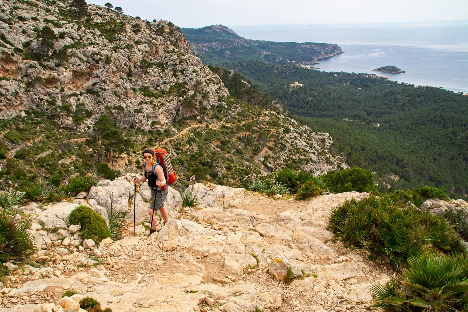
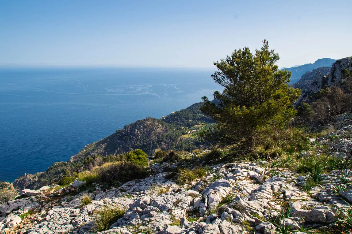
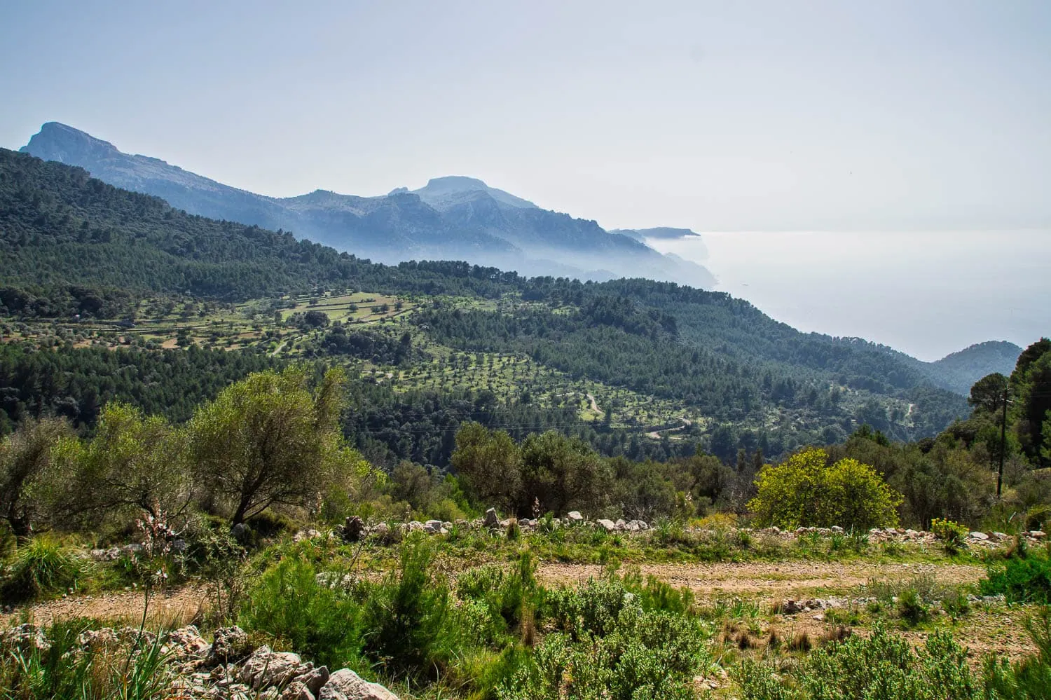
Through the Serra de Tramuntana in northwest Mallorca, along centuries-old dry stone paths between olive groves, limestone ridges and turquoise bays. I hiked the GR 221 in April 2015 with a tent, around 100 kilometres from Port d’Andratx to the Cúber reservoir, and learned one main thing: water is the scarcest resource here. The only marked spring after Sant Elm was dry, and ever since then I have planned for around three litres of person and day in the Tramuntana. The best time is spring; in the height of summer, the trail is no pleasure. Click here for the standalone GR221 article.
GR 20 (Corsica)
~180 km · 16 stages · high Alpine, technical · June to early October
The north-south crossing of Corsica is considered Europe's toughest long-distance hiking trail, and the reputation is well deserved: boulder scrambling, chained passages, long days well above 1,500 metres. Overnight stays are in refuges or in tents alongside them. Those who bring mountain experience are rewarded with the continent's most spectacular island landscape.
Alta Via dei Monti Liguri (Italy)
~410 km · ~28 stages · high-level trail, lonely · April to June, September to October
The Ligurian high route runs from Ventimiglia to La Spezia parallel to the Riviera, mostly a few hundred metres above the sea. On one side the Mediterranean glitters, on the other stand the Alps. Despite this, you hardly meet anyone here. One of Italy's most underestimated long-distance walking trails.
GR 10 (Pyrenees, France)
~870 km · 45 to 60 stages · alpine, long · June to September
From the Atlantic at Hendaye to the Mediterranean at Banyuls, always staying on the French side of the Pyrenees. Around six to eight weeks of walking, lonely high valleys, gîtes d’étape instead of mass dormitories. The Pyrenees are wilder and emptier than the Alps, and no trail demonstrates this as completely as the GR 10. Both endpoints are located directly by the railway, so getting there is easy despite the length of the journey.
Pilgrimage routes: the Caminos and the Way of St Francis
Pilgrimages are the social form of long-distance hiking: simple hostels, established rituals, conversations that develop over weeks. In sporting terms, they are usually the most accessible routes on this list; the challenge is more the monotony of certain sections and personal endurance over weeks.
Portuguese Way (Portugal, Spain)
~240 km from Porto · 10 to 12 stages · Pilgrim path, easy · Spring to autumn
The Portuguese route to Santiago de Compostela, starting from Porto either through the interior or along the coast. Significantly quieter than the Camino Francés, well developed, and with a time requirement of two weeks, ideal for a first pilgrimage experience.
Way of St Francis (Italy)
~550 km · ~31 stages · Pilgrimage trail, hilly · April to June, September to October
In the footsteps of Saint Francis through Tuscany, Umbria and the Rieti Valley all the way to Rome, with Assisi as its spiritual centre. Cypresses, mountain villages and monasteries accompany almost every stage, and scenically the trail is Italy's answer to the Camino, only much quieter. The best time to go is spring and autumn, as midsummer is too hot in Umbria.
Camino Francés (Spain)
~780 km · 30 to 35 stages · pilgrim path, easy to moderate · March to October
From Saint-Jean-Pied-de-Port across the Pyrenees and the Meseta to Santiago: the most famous pilgrimage route in the world and for many the introduction to multi-day hiking. The infrastructure is unrivalled in its density, which is why it gets correspondingly crowded in summer. Why a small, light rucksack makes all the difference on the Camino in particular is explained in our Camino packing list.
Northern Way (Spain)
~825 km · ~35 stages · Pilgrim path, hilly · April to October
The coastal route from Irún to Santiago, hugging the Cantabrian Sea all the way. Significantly fewer pilgrims than on the Francés, more elevation gain, more nature, more rain. Anyone looking for the Camino experience without the Camino crowds takes the Norte.
Long-distance walking routes in the British Isles and Ireland
Green hills, moorland, coast and a weather system that trains you to be a better packer: the long-distance hiking trails in Scotland, England, Wales and Ireland are rugged, but never high alpine. The season is long, and the pubs at the end of the stage are all part of the experience.
Wicklow Way (Ireland)
~130 km · 6 to 8 stages · rolling hills, moorland · April to October
Ireland's oldest waymarked long-distance trail starts on the outskirts of Dublin and winds through the Wicklow Mountains to Clonegal: upland bogs, glacial valleys, the monastic village of Glendalough. Gentle inclines, easily accessible, ideal first Ireland hike.
West Highland Way (Scotland)
~154 km · 6 to 8 stages · rolling hills, moorland · April to October
From Milngavie near Glasgow along Loch Lomond and through Rannoch Moor to Fort William: Scotland’s classic and one of Europe’s most atmospheric trails. Technically easy, logistically convenient, and those who still have energy left in reserve can tackle Ben Nevis at the end. Without ultralight waterproof jacket Don't even bother starting here.
Kerry Way (Ireland)
~214 km · 9 stages · Coast and hill country · April to October
The great tour around the Iveragh Peninsula in southwest Ireland, through the scenery of Macgillycuddy’s Reeks and repeatedly with views of the Atlantic. Ireland's longer and wilder classic: lonelier than the Wicklow Way, rougher in the weather, and almost always with the Atlantic in sight.
Pennine Way (England)
~430 km · 16 to 19 stages · moorland, rugged · May to September
England's oldest National Trail, opened in 1965, traces the backbone of the Pennines from Edale to just over the Scottish border. Endless high moors, mist, mud and map reading: the Pennine Way is the British character test among long-distance walking trails.
Wales Coast Path
~1,400 km · customisable · coastal path · year-round, best from May to September
Since 2012, the entire Welsh coast can be walked in one go, around 1,400 kilometres from Chepstow to Queensferry.[4] Scarcely anyone walks the whole thing at once, and that is precisely the strength: every section, from Pembrokeshire to the Llŷn Peninsula, works as a distinct one- to two-week tour featuring cliffs, coves and seabirds.
Long-distance hiking trails in Scandinavia: Sweden and Norway
Scandinavia is Europe's freest long-distance hiking region: the right to roam allows camping almost everywhere, the landscape is vast, and the season is short. Long-distance trails in Sweden and Norway demand more self-sufficiency than Alpine paths, but reward you with a silence that no longer exists south of the Baltic Sea.
High Coast Trail (Sweden)
~130 km · 13 short stages · Coast, forest · May to September
The Höga Kusten-Weg follows the Baltic Sea steep coast of the UNESCO World Heritage High Coast from Hornöberget to Örnsköldsvik. Forests, granite domes, red fishing villages, and a dense network of free shelters make it the perfect introductory tour to Nordic hiking with a tent or shelter.
Kungsleden (Sweden)
~440 km · 4 sections · arctic wilderness · late June to mid-September
The King's Trail, the arctic original among Europe's long-distance hiking trails, stretches around 440 kilometres through Lapland's fells from Abisko to Hemavan, passing Kebnekaise, Sweden's highest mountain.[5] STF huts are a day's march apart; those who want to can camp freely thanks to the right to roam. The most popular section is the first week from Abisko, which can be reached directly by the night train from Stockholm.
Olav Way (Norway)
~640 km · ~30 stages · Nordic pilgrim way · June to September
The Gudbrandsdalsleden, the main route of the Norwegian pilgrimage paths, leads from Oslo through the Gudbrandsdal valley and across the Dovrefjell to Trondheim to Nidaros Cathedral. A mixture of cultural trail and Fjell experience, significantly lonelier than any Camino. Overnight stays are in hostels, on farms and in simple pilgrim accommodation along the route.
The European long-distance paths E1 to E12
Over all regional paths lies a network that most hikers only know from yellow signs: the twelve European long-distance paths E1 to E12 with a combined total of around 60,000 kilometres, coordinated by the European Ramblers' Association.[1] Many paths from this list are sections of them: the Westweg belongs to the E1, the E5 crosses the Alps, the Rennsteig lies partly on the E3. The European long-distance paths are less independent tours than brackets that connect national paths into continental routes. One of them nevertheless deserves its own profile:
European long-distance path E4
~10,450 km · 12 countries · all characters · year-round in sections
From Cape St. Vincent in Portugal across the Pyrenees, the Alps, the Balkans and Crete all the way to Cyprus: the E4 is Europe's longest long-distance hiking trail and, for almost everyone who walks it, a project spanning years or decades. Precisely therein lies its appeal: it turns many holidays into a single, lifelong hike.
Rucksack and equipment: what long-distance trails really demand
After roughly 3,000 kilometres of long-distance hiking, my most important realisation is unspectacular: whether you are exhausted or content in the evening depends primarily on your weight, not the trail. On the Traumpfad in 2014, I still set off with a far too heavy setup. From Vienna to Nice in 2017, my rucksack was half as heavy, and the struggle turned into hiking. The rule of thumb from both experiences: keep the total weight including food and water under 10 kilos, and significantly below that on hut-to-hut routes.
The second point that almost everyone underestimates: the type of accommodation determines your volume. For hut-to-hut routes like the Stubai, TMB or Westweg, 30 to 40 litres are easily enough. Only with a tent and sleep system, i.e. on routes like the Kungsleden, GR 20 or GTA, do you need more. What a complete setup under 4 kilos base weight looks like, we calculate in the Alpine crossing packing list and the great Lightweight packing list Proceed item by item.
| Road type | Volume | Examples and setup |
|---|---|---|
| Hut and Guesthouse Trail | 30 to 40 litres | Stubai, TMB, Westweg, Caminos. No sleep system, total weight 6 to 8 kg easily achievable. |
| hybrid form | 40 to 50 litres | Traumpfad, GR 20, Adlerweg. Mostly huts, but a reserve for self-catered sections. |
| Self-sufficient trip with a tent | 50 to 60 litres | Kungsleden, GTA, Pennine Way. Shelter, sleep system and several days of food on board. |
Frequently asked questions about long-distance hiking trails in Europe
There is no fixed definition. Usually, it is considered to be a continuously marked hiking trail spanning multiple daily stages, in German-speaking regions typically starting at around 100 kilometres. In Austria and Switzerland, „Weitwanderweg“ is more commonly used, but the meaning is the same.
Good for beginners: Painter's Way, Harz Witches' Trail, middle way or West Highland Way, so routes with short stages and dense infrastructure. Alpine routes like the GR 20 or the Stubai High Trail, on the other hand, require real mountain experience.
The E4 with around 10,450 kilometres from Portugal to Cyprus. The longest continuous Alpine trail is the Red Trail of the Via Alpina with around 2,600 kilometres.
With a tent and self-catering, 15 to 25 euros per day is realistic, especially in Scandinavia. On hut and guesthouse routes in the Alps, depending on the country, you should rather expect 70 to 110 euros per day for overnight stays with half board.
That's up to the region to decide: Scandinavia is tent country (right to roam), the Alps are hut country (wild camping largely prohibited), pilgrimage routes are hostel country. And that answer determines your rucksack volume right along with it.
Practical experience from our own long-distance hikes: total weight including food and water under 10 kilos, on hut-to-hut trails 6 to 8 kilos are easily achievable. How this works is shown by the Lightweight packing list.
Sources
- European Ramblers' Association (ERA): network of the twelve European long-distance paths E1 to E12, total length of around 60,000 km. era-ewv-ferp.org
- Tyrol Tourist Board: Eagle Walk, 413 km and 33 stages in North Tyrol plus 9 stages in East Tyrol. tirol.at
- Via Alpina: Red Trail, 161 stages through eight Alpine countries from Trieste to Monaco. via-alpina.org
- Wales Coast Path (official site): continuous coastal path of around 870 miles (1,400 km). walescoastpath.gov.uk
- Swedish Tourist Association (STF): Kungsleden, approximately 440 km from Abisko to Hemavan. swedishtouristassociation.com